
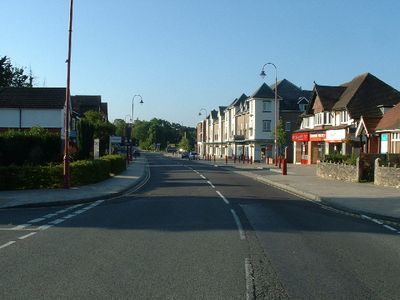
West Moors, village britannique
Emplacement : Dorset
Coordonnées GPS : 50.82400,-1.88850
Dernière mise à jour : 7 avril 2025 à 11:13
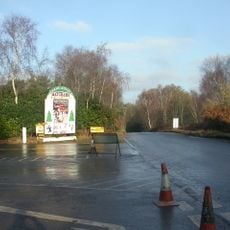
Lapland New Forest
5.5 km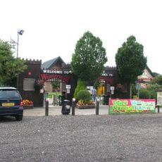
Adventure Wonderland
6.2 km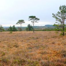
Holt Heath
2.4 km
The Hub
6.4 km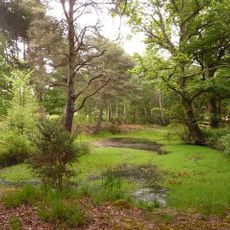
Ferndown Common
2.9 km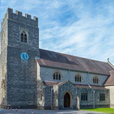
St Mary's Church
2.7 km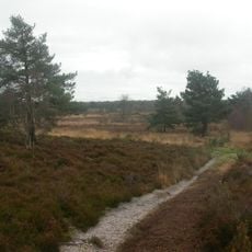
Parley Common
3.3 km
Longham United Reform Church
4.4 km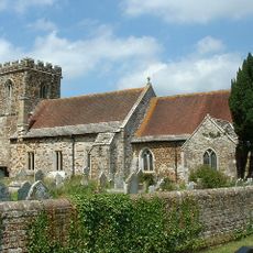
All Saints Church, Hampreston
4.6 km
Abbaye de Stapehill
3.5 km
Church of St Michael and All Angels
5.7 km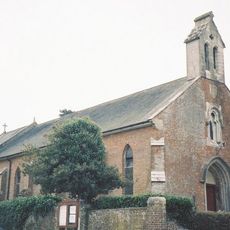
Church of St James
5.1 km
Verwood Library
6.4 km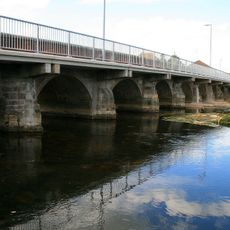
Longham Bridge
5.6 km
Morrisons
6 km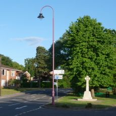
West Moors War Memorial
43 m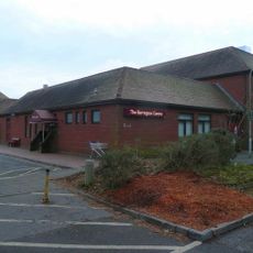
Barrington Theatre
2.5 km
The Old Cottage Restaurant
6.9 km
West Moors Library
159 m
1-4, the High Street
4 km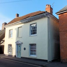
Monmouth House
7 km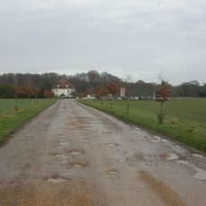
Little Moors Farmhouse
4 km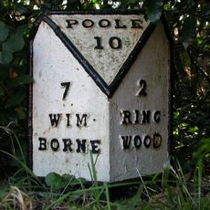
Milepost, St. Ives, E of Church, opp No. 140, small red brick bungalow
4 km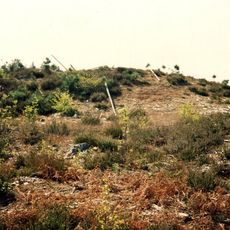
Two bowl barrows 445m south-west of Ordnance Survey triangulation pillar in Ringwood Forest
5.1 km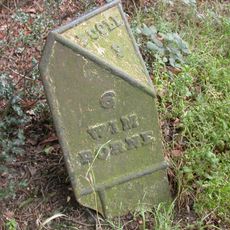
Milepost, E of Boundary Lane roundabout; 100M W of 'W Highland Kennels'
2.7 km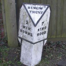
Milepost, Wimborne Road, E of bypass roundabout; by No. 210/212
3.9 km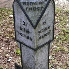
Milepost, Wimborne Road, by No. 414
2.5 km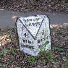
Milepost, Ferdown , 30m E of Monkton Close; 50m E of traffic lights
1.7 kmVous avez visité ce lieu ? Touchez les étoiles pour le noter et partager votre expérience ou vos photos avec la communauté ! Essayez maintenant ! Vous pouvez annuler à tout moment.
Trouvez des trésors cachés à chaque coin de rue !
Des petits cafés pittoresques aux points de vue planqués, fuyez la foule et dénichez les lieux qui vous ressemblent vraiment. Notre app vous facilite la vie : recherche vocale, filtres malins, itinéraires optimisés et bons plans partagés par des voyageurs du monde entier. Téléchargez vite pour vivre l'aventure en version mobile !

Une approche inédite de la découverte touristique❞
— Le Figaro
Tous les lieux qui valent la peine d'être explorés❞
— France Info
Une excursion sur mesure en quelques clics❞
— 20 Minutes