
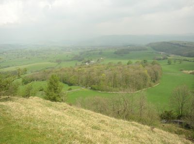
Underbarrow and Bradleyfield, civil parish in Cumbria, United Kingdom
Emplacement : South Lakeland
Coordonnées GPS : 54.32311,-2.80675
Dernière mise à jour : 21 mars 2025 à 13:45
Castle Howe
3.7 km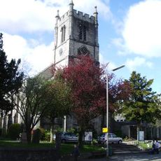
St Thomas' Church, Kendal
3.8 km
Booths
3.8 km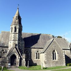
Church of All Saints
1.4 km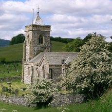
Church of St Mary
3.2 km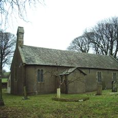
Church of St John
3.5 km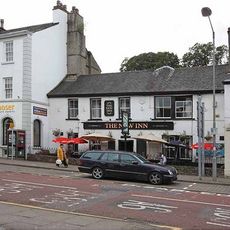
New Inn
3.8 km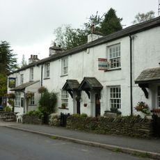
Sun Inn
3.1 km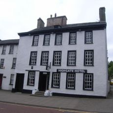
Highgate Hotel
3.8 km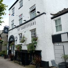
Basement Shop Shakespears Inn
3.8 km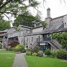
Brewery Arts Centre
3.8 km
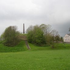
Elba Monument
3.5 km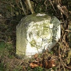
Milestone On Loop Road 50 Yards South Of Junction Of Hollins Lane And Windermere
3.5 km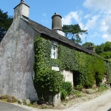
Park End Farmhouse
3.5 km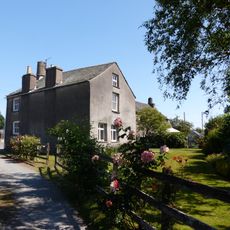
Fallen Yew Farmhouse
875 m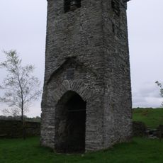
Tower of ruined church of St Catherine
3.6 km
80 And 80A, Highgate
3.8 km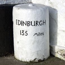
Milestones Flanking Steps To Entrance Of Number 128
3.9 km
134 And 136, Highgate
3.9 km
30, Highgate
3.9 km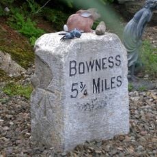
Milestone 10 Metres East Of Junction Of Crook Road And Ratherheath Lane
3 km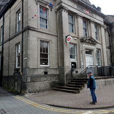
Midland Bank
3.8 km
Milepost, Lane Head Farm
2.6 km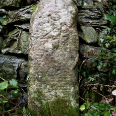
Milestone, Hollin Bank
1.7 km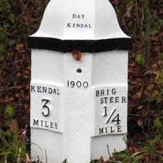
Milepost, Brigsteer
2.9 km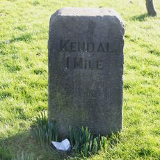
Milestone, Windermere Road, at top of hill out of Kendall, by Airey's Folly
3.3 km
Milestone, Plumgarth roundabout; opp. 'Cunswick End'
3 km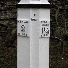
Milepost, Scout Scar
2.9 kmAvis
Vous avez visité ce lieu ? Touchez les étoiles pour le noter et partager votre expérience ou vos photos avec la communauté ! Essayez maintenant ! Vous pouvez annuler à tout moment.
Trouvez des trésors cachés à chaque coin de rue !
Des petits cafés pittoresques aux points de vue planqués, fuyez la foule et dénichez les lieux qui vous ressemblent vraiment. Notre app vous facilite la vie : recherche vocale, filtres malins, itinéraires optimisés et bons plans partagés par des voyageurs du monde entier. Téléchargez vite pour vivre l'aventure en version mobile !

Une approche inédite de la découverte touristique❞
— Le Figaro
Tous les lieux qui valent la peine d'être explorés❞
— France Info
Une excursion sur mesure en quelques clics❞
— 20 Minutes