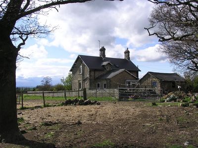
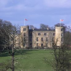
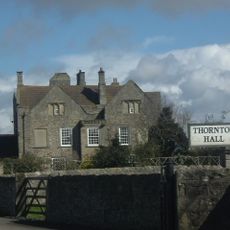
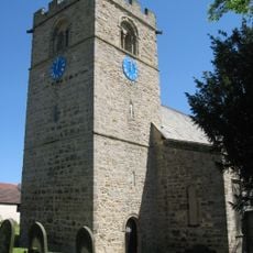
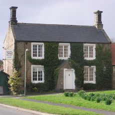
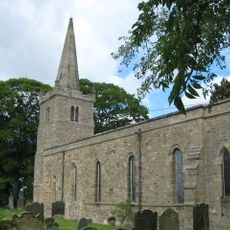
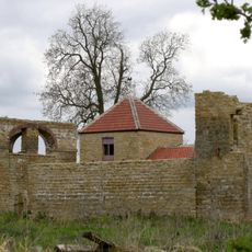
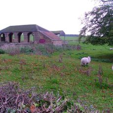
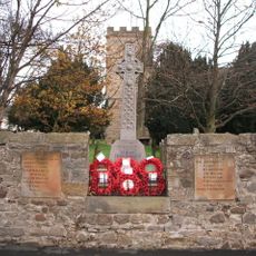
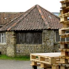
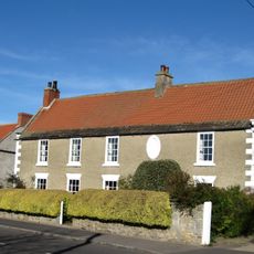
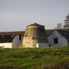
Walworth, village britannique
Emplacement : Darlington
Partage une frontière avec
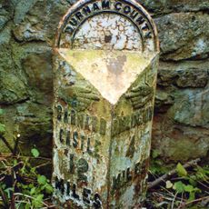
 : Houghton-le-Side
Coordonnées GPS : 54.56500,-1.63900
Dernière mise à jour : 5 mars 2025 à 11:51
Château de Walworth
1 km
Fort roman de Piercebridge
4 km
Redworth Hall
4.3 km
Piercebridge Roman Bridge
3.8 km
Ulnaby
1.4 km
Thornton Hall
2 km
Church of St Michael
3.7 km
Raby Hunt
3.3 km
Piercebridge Roman Fort
4 km
Church of St Edwin
3.8 km
Church of St Mary
4 km
Dovecote And Single Storey Range To South Of Parkside Farmhouse
646 m
Haybarn And Attached Shed South Of Parkside Farmhouse
662 m
Carlbury Bridge
3.8 km
Milepost South Of Carlbury Hall
3.6 km
Heighington War Memorial
3.7 km
Ice House To East Of Quarry End
460 m
Barn To North Of North Farm Farmhouse
247 m
The Bridge House
4.1 km
Ivy House
3.9 km
Threshing Barn And Gin Gang East Of Walworth Grange Farmhouse
185 m
Wall, Gate Piers, Overthrow And Lantern To West Of Church Of St Mary
4 km
Medieval Chapel Ruins On Roman Foundations In Rear Garden Of Bath House, Tees View
4.1 km
The Old Hall
3.7 km
2, The Green
3.9 km
28, The Green
3.9 km
Milepost At High Coniscliffe Bridge
3.8 km
Dovecote 45 Metres East Of Manor House
3 kmVous avez visité ce lieu ? Touchez les étoiles pour le noter et partager votre expérience ou vos photos avec la communauté ! Essayez maintenant ! Vous pouvez annuler à tout moment.
Trouvez des trésors cachés à chaque coin de rue !
Des petits cafés pittoresques aux points de vue planqués, fuyez la foule et dénichez les lieux qui vous ressemblent vraiment. Notre app vous facilite la vie : recherche vocale, filtres malins, itinéraires optimisés et bons plans partagés par des voyageurs du monde entier. Téléchargez vite pour vivre l'aventure en version mobile !
Une approche inédite de la découverte touristique❞
— Le Figaro
Tous les lieux qui valent la peine d'être explorés❞
— France Info
Une excursion sur mesure en quelques clics❞
— 20 Minutes