
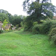
Swerford, village and civil parish in West Oxfordshire, England
Emplacement : West Oxfordshire
Coordonnées GPS : 51.97866,-1.45145
Dernière mise à jour : 8 mars 2025 à 18:32
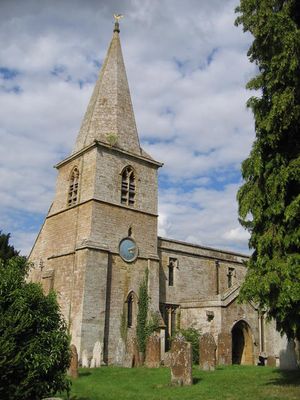
Swerford Castle
530 m
Church of St Michael and All Angels, Great Tew
3.2 km
Church of St Peter
2.9 km
Church of St Mary
554 m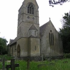
Church of St John the Evangelist
2.8 km
Church of Saint Giles
2.4 km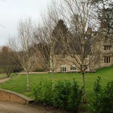
Church End
634 m
Churchyard Gateway Approximately 20 Metres East Of The Vicarage
3.2 km
Baptist Chapel
3 km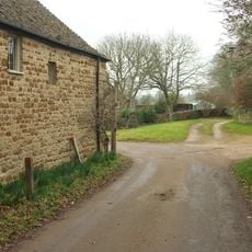
Swerford War Memorial
613 m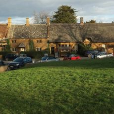
The Post Office
2.7 km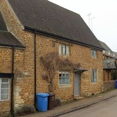
The Old Post Office
2.9 km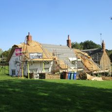
Benacre Cottage
2.5 km
House To Right Of The Old Sweet Shop
3.1 km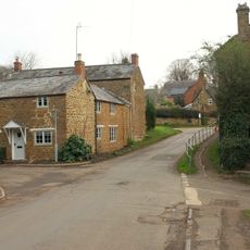
The Old Surgery
2.9 km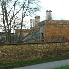
Great Tew House
2.9 km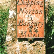
Milestone Approximately 250 Metres West Of The Masons Arms
594 m
Hook Norton Library
3 km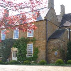
Old Rectory
631 m
21, Old Road
2.7 km
24, The Green
2.7 km
Priestfield
2.9 km
57 And 58, The Lane
2.6 km
The Old Sweet Shop
3.1 km
Gatepiers And Gates Approximately 80 Metres South East Of Great Tew House
3 km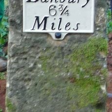
Milestone, Banbury Road; Swerford Heath, 50m W of lane to Heath Farm and 150m E of old toll house
1.7 km
Petra
3.1 km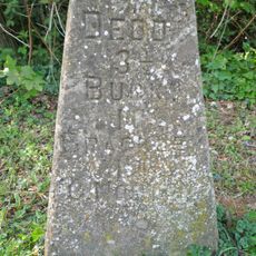
Milestone, Iron Down Hill, at jct with lane to Hill Farm
2.6 kmAvis
Vous avez visité ce lieu ? Touchez les étoiles pour le noter et partager votre expérience ou vos photos avec la communauté ! Essayez maintenant ! Vous pouvez annuler à tout moment.
Trouvez des trésors cachés à chaque coin de rue !
Des petits cafés pittoresques aux points de vue planqués, fuyez la foule et dénichez les lieux qui vous ressemblent vraiment. Notre app vous facilite la vie : recherche vocale, filtres malins, itinéraires optimisés et bons plans partagés par des voyageurs du monde entier. Téléchargez vite pour vivre l'aventure en version mobile !

Une approche inédite de la découverte touristique❞
— Le Figaro
Tous les lieux qui valent la peine d'être explorés❞
— France Info
Une excursion sur mesure en quelques clics❞
— 20 Minutes