
Litlington, village and civil parish in Cambridgeshire, UK
Emplacement : South Cambridgeshire
Coordonnées GPS : 52.06660,-0.08682
Dernière mise à jour : 3 mars 2025 à 03:43
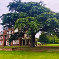
Kneesworth House School
4.1 km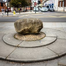
Roisia's Cross
4.8 km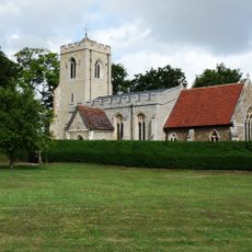
Parish Church of St Michael and All Angels, Abington Pigotts
2.2 km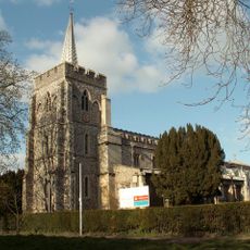
Parish Church of St Peter and St Paul
2.3 km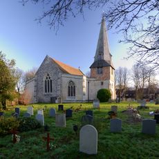
Parish Church of St Peter and St Paul
2.7 km
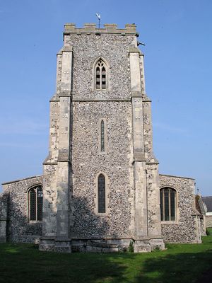
Parish Church of St Catherine
276 m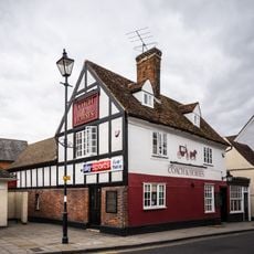
The Coach And Horses Inn
4.7 km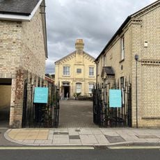
Royston Museum
4.6 km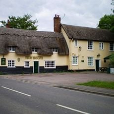
The Hoops Public House
2.7 km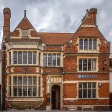
Barclays Bank
4.8 km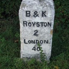
Milestone Circa 160 Metres East Of Bellevue Farm
3.6 km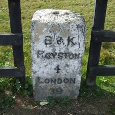
Milestone Circa 150 Metres North Of York Way, Royston, Hertfordshire
4 km
4, High Street
4.8 km
6, High Street
4.8 km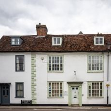
28, Kneesworth Street
4.7 km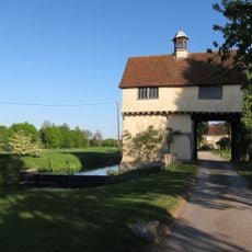
Down Hall Gatehouse
1.3 km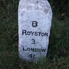
Milestone Circa 15 Metres South Of Bassingbourn Barracks
3.9 km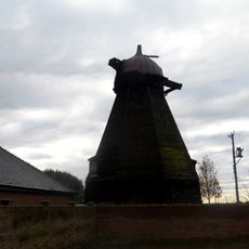
Smock Mill Circa 10 Metres North Of Mill House Noumber 20
2.9 km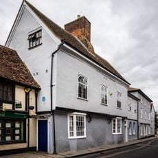
18 And 20, Kneesworth Street
4.7 km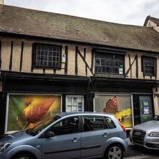
18 And 20, High Street
4.8 km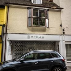
8, High Street
4.8 km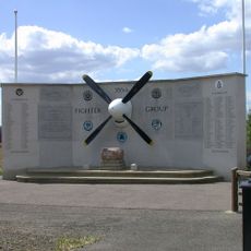
355th Fighter Group USAAF Memorial, Steeple Morden
1.2 km
Gatehouse Circa 65 Metres To North West Of Down Hall
1.3 km
32, Kneesworth Street
4.6 km
2, High Street
4.8 km
23, Kneesworth Street
4.7 km
7, Kneesworth Street
4.7 km
16, Kneesworth Street
4.7 kmVous avez visité ce lieu ? Touchez les étoiles pour le noter et partager votre expérience ou vos photos avec la communauté ! Essayez maintenant ! Vous pouvez annuler à tout moment.
Trouvez des trésors cachés à chaque coin de rue !
Des petits cafés pittoresques aux points de vue planqués, fuyez la foule et dénichez les lieux qui vous ressemblent vraiment. Notre app vous facilite la vie : recherche vocale, filtres malins, itinéraires optimisés et bons plans partagés par des voyageurs du monde entier. Téléchargez vite pour vivre l'aventure en version mobile !

Une approche inédite de la découverte touristique❞
— Le Figaro
Tous les lieux qui valent la peine d'être explorés❞
— France Info
Une excursion sur mesure en quelques clics❞
— 20 Minutes