
East Worlington, human settlement in United Kingdom
Emplacement : North Devon
Coordonnées GPS : 50.91334,-3.76034
Dernière mise à jour : 3 mars 2025 à 00:39
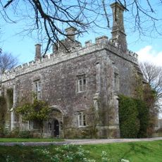
Château d'Affeton
919 m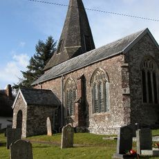
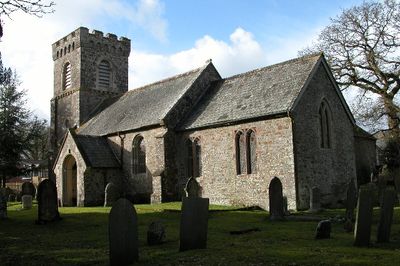
Church of St Mary
912 m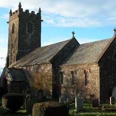
Church of St David
3.1 km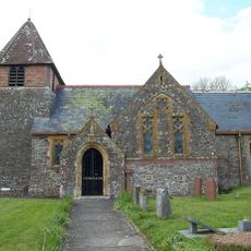
Church of St Peter
5.4 km
Church of St. Mary
3 km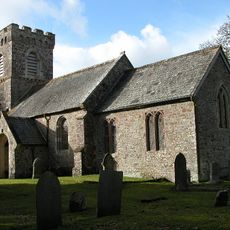
Church of St Mary
1.2 km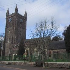
Church of St John the Baptist
4 km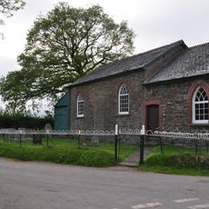
Sharon Methodist Chapel At Thornham Chapel Cross
1.6 km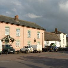
The Angel Inn
4 km
Quince Cottage And Attached Cottage To Left
5.5 km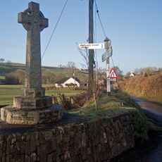
East and West Worlington War Memorial
1.1 km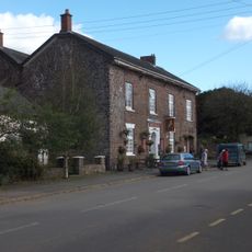
The Mitre Hotel
4.1 km
Farriers Cottage
5.3 km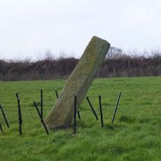
The Long Stone, 275m south east of Horseford Lodge
2.1 km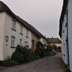
Lantern Cottage
4 km
South Coombe Farmhouse And Barns
5.4 km
Milestone At Ss 727 107
4.9 km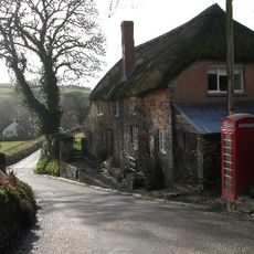
Oak Ash And Thorn Including A Raised Pavement In Front
1.1 km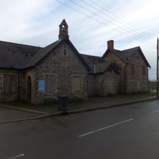
Former School And School-House Now Offices And Workshop To Valley Farmers
3.9 km
Milestone At Ss 725 116
4.6 km
Rosdene
5.5 km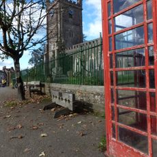
K6 Telephone Kiosk, The Square
4 km
Burridge Camp
2.6 km
Former Forge Now Garage On Roadside Immediately North Of Cottage To North Of Quince Cottage
5.5 km
School House
1.2 km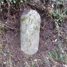
Milestone, Hele Lane Hill, 150m up hill from Tidlake Farm
4.4 km
Milestone, Great Hole Farm, on left side of entrance
5.2 km
Milestone, 50m SE of Hillside Cross, a mile S of Meshaw
4.7 kmVous avez visité ce lieu ? Touchez les étoiles pour le noter et partager votre expérience ou vos photos avec la communauté ! Essayez maintenant ! Vous pouvez annuler à tout moment.
Trouvez des trésors cachés à chaque coin de rue !
Des petits cafés pittoresques aux points de vue planqués, fuyez la foule et dénichez les lieux qui vous ressemblent vraiment. Notre app vous facilite la vie : recherche vocale, filtres malins, itinéraires optimisés et bons plans partagés par des voyageurs du monde entier. Téléchargez vite pour vivre l'aventure en version mobile !

Une approche inédite de la découverte touristique❞
— Le Figaro
Tous les lieux qui valent la peine d'être explorés❞
— France Info
Une excursion sur mesure en quelques clics❞
— 20 Minutes