
Tunstall, village in Kent, United Kingdom
Emplacement : Borough of Swale
Coordonnées GPS : 51.31902,0.72063
Dernière mise à jour : 8 mars 2025 à 14:08
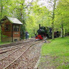
Bredgar and Wormshill Light Railway
3.6 km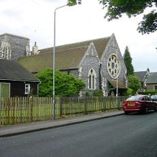
Church of All Saints, Murston
3.4 km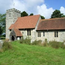
St Giles, Wormshill
4.1 km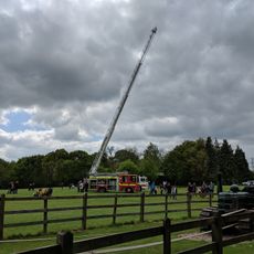
Bredgar & Wormshill Railway
3.6 km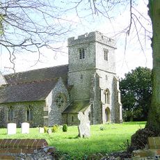
Church of St Dunstan
3.9 km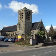
Church of the Holy Trinity
2.6 km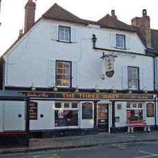
The Three Hats Inn
3.5 km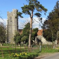
Church of St Nicholas
3 km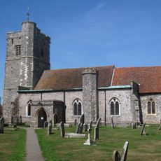
Church of St John the Baptist
1.9 km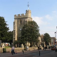
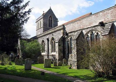
Church of St Michael
2.7 km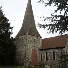
Church of St Lawrence
3.5 km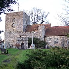
Church of St Peter and St Paul
2.2 km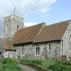
Church of St Bartholomew
3.9 km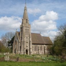
Church of St Catherine
3.9 km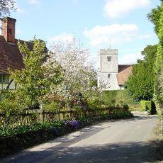
Church of St Mary and the Holy Cross
2.6 km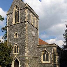
Church of St John the Baptist
624 m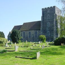
Parish Church of the Holy Trinity
4.3 km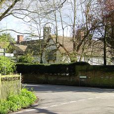
Milstead Manor
2.7 km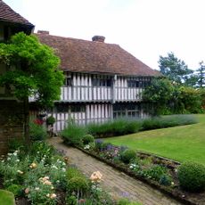
Bexon Manor
1.9 km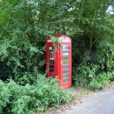
K6 Telephone Kiosk
4.2 km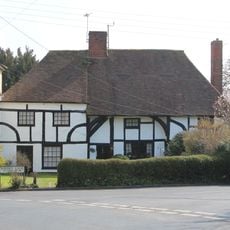
245 And 247, Borden Lane
1.7 km
Burnham House
1.9 km
Chantry House
1.9 km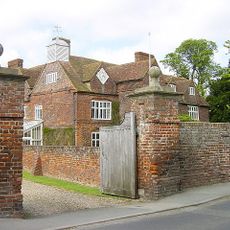
Tunstall House
588 m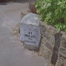
Milestone, Canterbury Road, by No. 201 "The Milestone"
3.4 km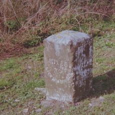
Milestone, Chestnut Street, opp. "Greenlands", S of bus shelter
3.9 km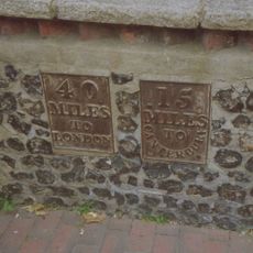
Milestone, High Street, SW corner of St Michael's Churchyard, in pedestrian zone
2.6 km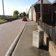
Milestone, Fox Cottage, Chestnut Street, just E of town between J5 of M2 and Key Street roundabout
3.2 kmAvis
Vous avez visité ce lieu ? Touchez les étoiles pour le noter et partager votre expérience ou vos photos avec la communauté ! Essayez maintenant ! Vous pouvez annuler à tout moment.
Trouvez des trésors cachés à chaque coin de rue !
Des petits cafés pittoresques aux points de vue planqués, fuyez la foule et dénichez les lieux qui vous ressemblent vraiment. Notre app vous facilite la vie : recherche vocale, filtres malins, itinéraires optimisés et bons plans partagés par des voyageurs du monde entier. Téléchargez vite pour vivre l'aventure en version mobile !

Une approche inédite de la découverte touristique❞
— Le Figaro
Tous les lieux qui valent la peine d'être explorés❞
— France Info
Une excursion sur mesure en quelques clics❞
— 20 Minutes