
Mollington, village and civil parish in Cherwell district, Oxfordshire, England
Emplacement : Cherwell District
Coordonnées GPS : 52.12313,-1.35642
Dernière mise à jour : 3 mars 2025 à 00:23
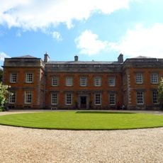
Farnborough Hall
2 km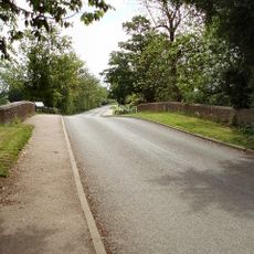
Cropredy Bridge
3 km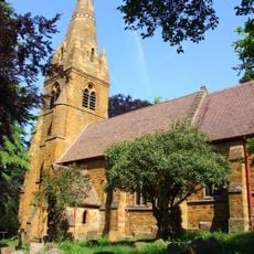
St John the Baptist's Church, Avon Dassett
4.1 km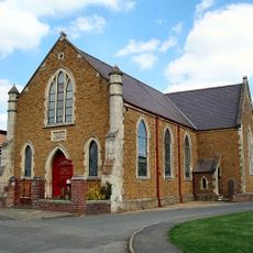
Cropredy Methodist Church
2.7 km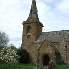
Church of St Botolph, Farnborough, Warks
2.3 km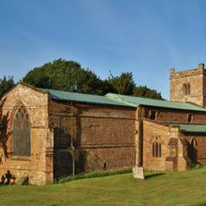
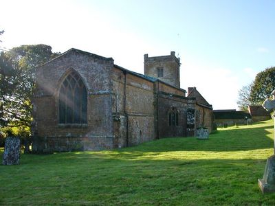
Church of All Saints
118 m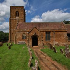
Church of St Michael
3.2 km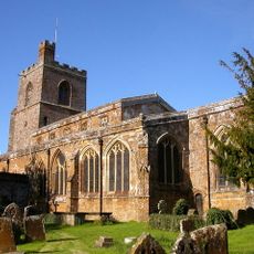
Church of St Mary the Virgin
2.8 km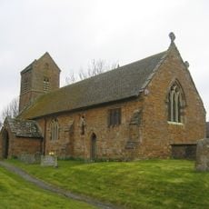
Church of St James the Great
3.1 km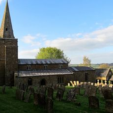
Church of St Lawrence
2.4 km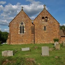
Church of All Saints
2.4 km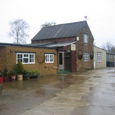
Bygones Museum
3 km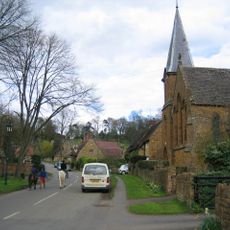
Roman Catholic Church of St Joseph and Attached Presbytery
4.1 km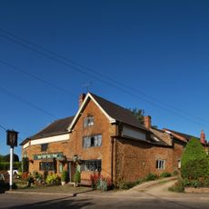
The Brasenose Arms
2.7 km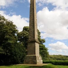
Farnborough Hall The Obelisk
1.7 km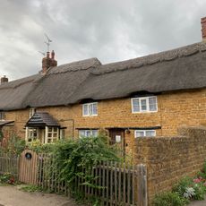
Beam Cottage Dingles And Cottage Abutting On Right
2.8 km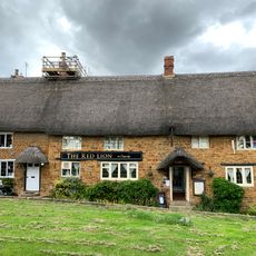
Red Lion Public House
2.9 km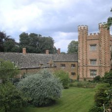
Hanwell Castle
3.8 km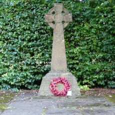
Avon Dasset War Memorial
4.1 km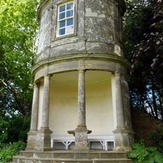
Farnborough Hall The Oval Pavilion
1.8 km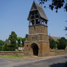
Lychgate at Church of All Saints
2.4 km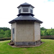
The Game Larder
2.1 km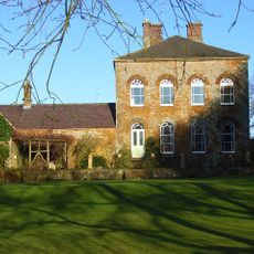
Prescote Manor
3.2 km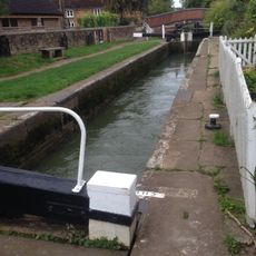
Cropredy Lock Oxford Canal
2.9 km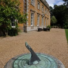
Farnborough Hall Sundial Approximately 4 Metres West
2.3 km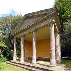
The Ionic Temple
2 km
Constone
2.7 km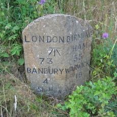
Milestone, rear northern village turn
2.9 kmVous avez visité ce lieu ? Touchez les étoiles pour le noter et partager votre expérience ou vos photos avec la communauté ! Essayez maintenant ! Vous pouvez annuler à tout moment.
Trouvez des trésors cachés à chaque coin de rue !
Des petits cafés pittoresques aux points de vue planqués, fuyez la foule et dénichez les lieux qui vous ressemblent vraiment. Notre app vous facilite la vie : recherche vocale, filtres malins, itinéraires optimisés et bons plans partagés par des voyageurs du monde entier. Téléchargez vite pour vivre l'aventure en version mobile !

Une approche inédite de la découverte touristique❞
— Le Figaro
Tous les lieux qui valent la peine d'être explorés❞
— France Info
Une excursion sur mesure en quelques clics❞
— 20 Minutes