
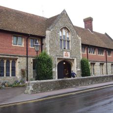
Waltham, village and civil parish in Kent, United Kingdom
Emplacement : Canterbury
Coordonnées GPS : 51.19816,1.01652
Dernière mise à jour : 11 mars 2025 à 12:31
Wye College
5.6 km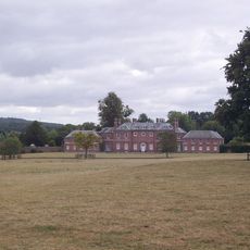
Godmersham Park
5.2 km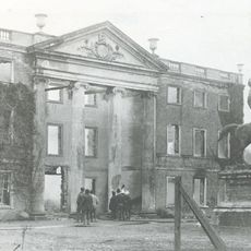
Olantigh
4.9 km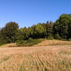
Julliberrie's Grave
5.5 km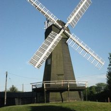
Davison's Mill, Stelling Minnis
4.4 km
Shrub's Wood Long Barrow
2.9 km
Yockletts Bank
2 km
Down Bank
4.3 km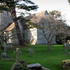
Church of St Peter and St Paul
4.9 km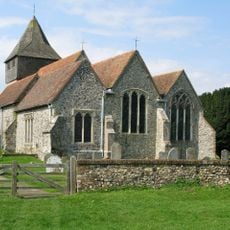
Church of St James
3.8 km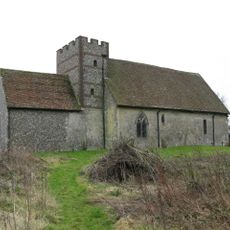
Church of St Bartholomew
469 m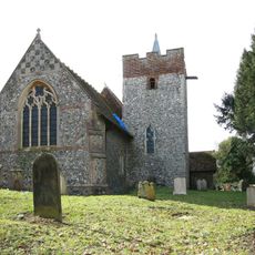
Church of St Mary
2.3 km
Church of St Mary
3.4 km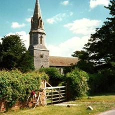
Church of St Mary
6.3 km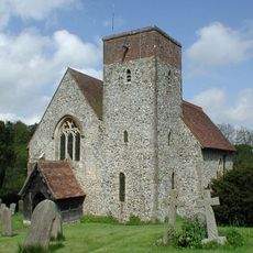
Church of St Mary
4.2 km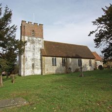
Church of All Saints
3.4 km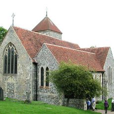
Church of St Lawrence
5 km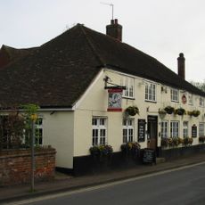
The New Flying Horse
5.6 km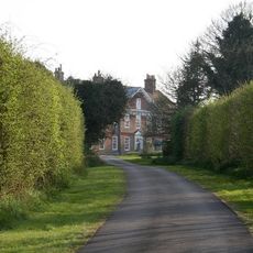
Mystole House South Mystole West Wing
5.3 km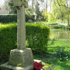
Elmstead and Hastingleigh War Memorial
3.9 km
Hurst Farmhouse
5.2 km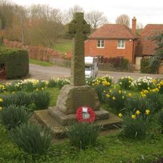
Lower Hardres War Memorial
6.1 km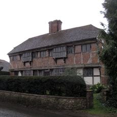
Yew Trees
5.5 km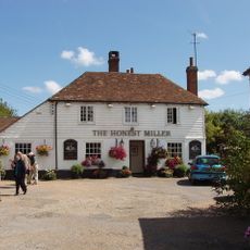
The Honest Miller
5.6 km
The Latin School Wye College
5.7 km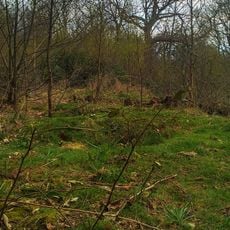
Oval barrow in Shrub's Wood
2.9 km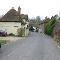
Old Hall
3.4 km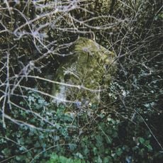
Milestone, Canterbury Road, opp. Church Road
4.5 kmVous avez visité ce lieu ? Touchez les étoiles pour le noter et partager votre expérience ou vos photos avec la communauté ! Essayez maintenant ! Vous pouvez annuler à tout moment.
Trouvez des trésors cachés à chaque coin de rue !
Des petits cafés pittoresques aux points de vue planqués, fuyez la foule et dénichez les lieux qui vous ressemblent vraiment. Notre app vous facilite la vie : recherche vocale, filtres malins, itinéraires optimisés et bons plans partagés par des voyageurs du monde entier. Téléchargez vite pour vivre l'aventure en version mobile !

Une approche inédite de la découverte touristique❞
— Le Figaro
Tous les lieux qui valent la peine d'être explorés❞
— France Info
Une excursion sur mesure en quelques clics❞
— 20 Minutes