
Ideford, localité britannique
Emplacement : Teignbridge
Coordonnées GPS : 50.58438,-3.56474
Dernière mise à jour : 25 avril 2025 à 22:11
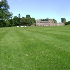
Ugbrooke
1.9 km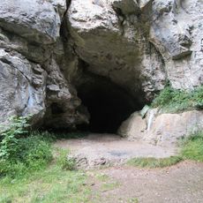
Cow Cave
3.2 km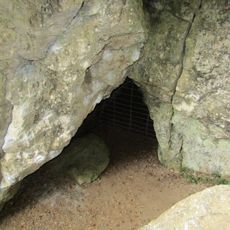
Pixie's Hole
3.1 km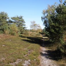
Ideford Common
1.4 km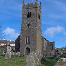
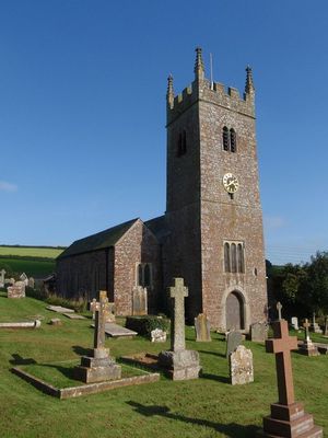
Church of St Mary
192 m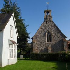
Chapel Of St John The Evangelist
929 m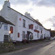
The Sandygate Inn
3.6 km
Milestone 13m NW of Fern Cottage
3.4 km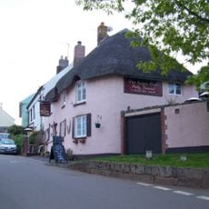
The Royal Oak Public House
110 m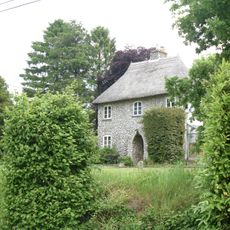
Longthorn Cottage
742 m
Forsterville Lodge
3 km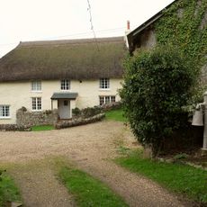
Ashwell House And Outbuilding Adjoining At East
2.8 km
Forsterville Cottages
3.1 km
Larcombe Bridge
600 m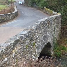
Bridgeland Bridge
3 km
Home Humber And Garden Walls Adjoining The House
1.9 km
Lodge At Main Gateway, Outside The Gates
2 km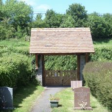
Lychgate to Chapel of St John the Evangelist
910 m
The Old Mill
846 m
Longbarn
131 m
Hestow Barton
1.2 km
The Wheel
3.1 km
Lower Dunscombe Farmhouse
1.9 km
The Old House
3.4 km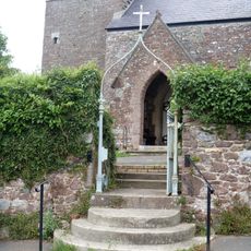
Churchyard Gate
179 m
Main Gateway To Lindridge Including Lodge Inside The Gates And To The North West
2 km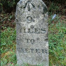
Milestone, 200m S of Mamhead jct just S of sign to Ashcombe cottages and activities on N-bound carriageway
2.1 km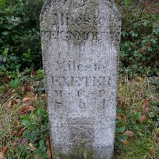
Milestone, Colley Lane, 50m S of Ashcombe small roundabout, beside Mamhead jct with A380
2.4 kmVous avez visité ce lieu ? Touchez les étoiles pour le noter et partager votre expérience ou vos photos avec la communauté ! Essayez maintenant ! Vous pouvez annuler à tout moment.
Trouvez des trésors cachés à chaque coin de rue !
Des petits cafés pittoresques aux points de vue planqués, fuyez la foule et dénichez les lieux qui vous ressemblent vraiment. Notre app vous facilite la vie : recherche vocale, filtres malins, itinéraires optimisés et bons plans partagés par des voyageurs du monde entier. Téléchargez vite pour vivre l'aventure en version mobile !

Une approche inédite de la découverte touristique❞
— Le Figaro
Tous les lieux qui valent la peine d'être explorés❞
— France Info
Une excursion sur mesure en quelques clics❞
— 20 Minutes