
Kempston Rural, human settlement in England
Emplacement : Bedford
Coordonnées GPS : 52.12012,-0.51661
Dernière mise à jour : 4 mars 2025 à 07:54
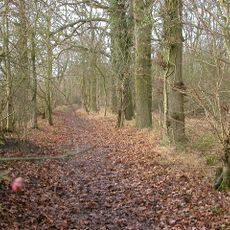
Hanger Wood
2.5 km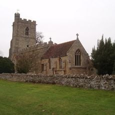
Church of St Owen, Bromham, Bedfordshire
3.4 km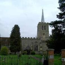
Church of St Mary the Virgin, Wootton, Bedfordshire
3.1 km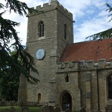
Church of St James, Biddenham
2 km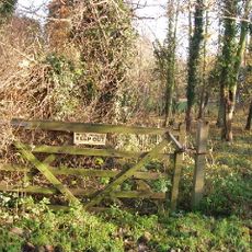
Biddenham Pit
2.6 km
Bromham Lake Nature Reserve
3.8 km
Church of St Leonard, Stagsden
3.6 km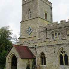
Church of St Peter
6.6 km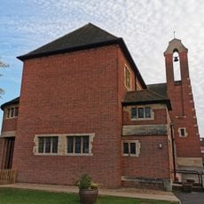
Church of the Transfiguration
1.8 km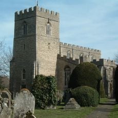
Church of All Saints
160 m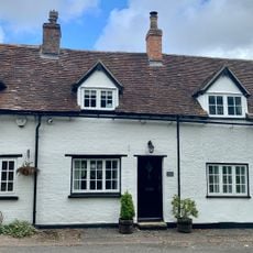
21 and 23, Church Row
3.1 km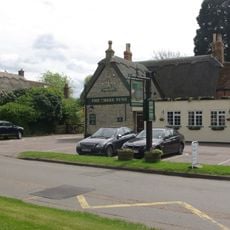
Three Tuns Public House
2.1 km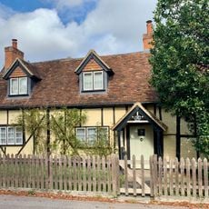
48, Church Road
3.1 km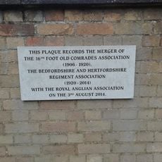
Regimental War Memorial
2.3 km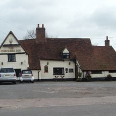
The Chequers Public House
2.7 km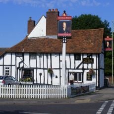
King William Iv Public House
1 km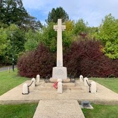
Wootton War Memorial
3.1 km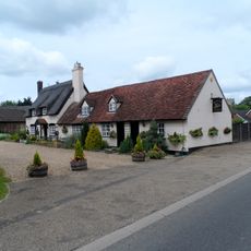
The Swan Public House
6.5 km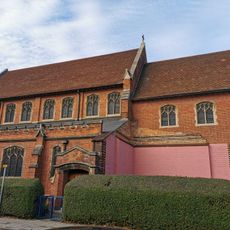
All Saints
2.6 km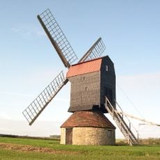
Stevington Windmill
5.4 km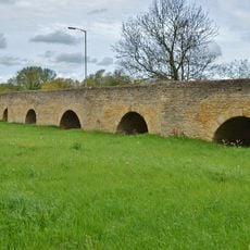
Bromham Bridge
2.8 km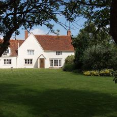
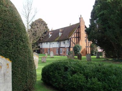
Roxhill Manor Farmhouse
6 km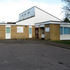
Bromham Library
3.6 km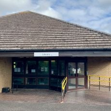
Wootton Library
2.5 km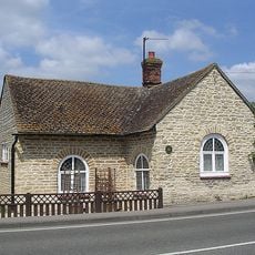
110, Stagsden Road
3 km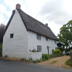
38-40, Village Road
3.2 km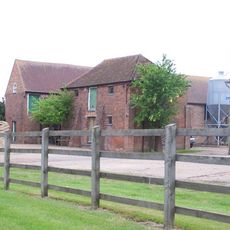
Wood Farmhouse
4.1 km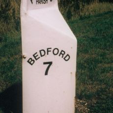
Milepost, Newport Road; at jct for Astwood village and church
6.6 kmAvis
Vous avez visité ce lieu ? Touchez les étoiles pour le noter et partager votre expérience ou vos photos avec la communauté ! Essayez maintenant ! Vous pouvez annuler à tout moment.
Trouvez des trésors cachés à chaque coin de rue !
Des petits cafés pittoresques aux points de vue planqués, fuyez la foule et dénichez les lieux qui vous ressemblent vraiment. Notre app vous facilite la vie : recherche vocale, filtres malins, itinéraires optimisés et bons plans partagés par des voyageurs du monde entier. Téléchargez vite pour vivre l'aventure en version mobile !

Une approche inédite de la découverte touristique❞
— Le Figaro
Tous les lieux qui valent la peine d'être explorés❞
— France Info
Une excursion sur mesure en quelques clics❞
— 20 Minutes