
Cheveley, village in the United Kingdom
Emplacement : East Cambridgeshire
Coordonnées GPS : 52.22340,0.46333
Dernière mise à jour : 13 mars 2025 à 04:48
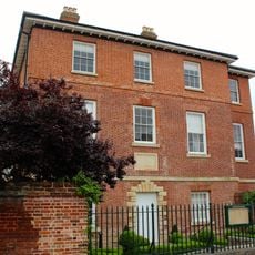
Palace House
4.5 km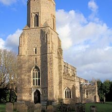
Parish Church of St Mary
3.2 km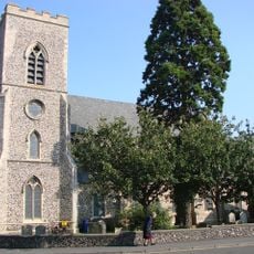
Church of All Saints
4.4 km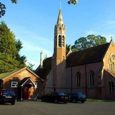
Church of St Agnes
4.3 km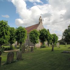
Parish Church of St Mary
1.7 km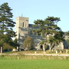
Church of St Peter
3.3 km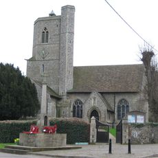
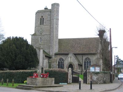
Parish Church of St Mary and the Holy Ghost in Heaven
393 m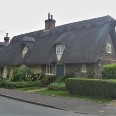
4, Church Road
3.2 km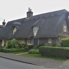
2, Church Road
3.2 km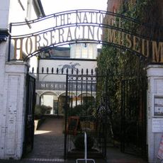
National Horseracing Museum
4.6 km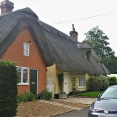
6, Church Road
3.2 km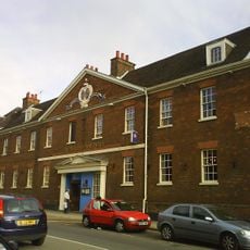
Rutland Arms Hotel
4.5 km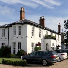
Bedford Lodge Hotel
4.5 km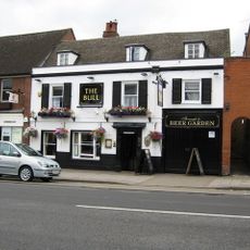
The Bull Public House
4.5 km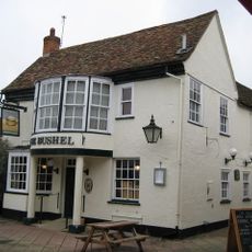
The Bushel Public House
4.6 km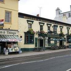
Waggon And Horses Public House
4.5 km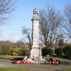
Newmarket War Memorial
4.5 km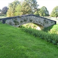
Bridge 40 Metres West Of Primary School Brookside
3.3 km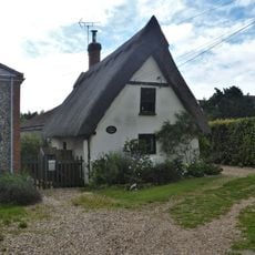
Crooked Cottage
3.2 km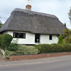
7, Chippenham Road
3.6 km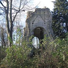
All Saints' Church, remains of
2.3 km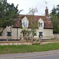
1, Chippenham Road
3.5 km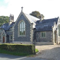
The Primary School And The Old Schoolhouse
3.4 km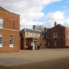
The Jockey Club
4.5 km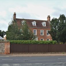
Moulton Hall
3.1 km
The Priory
3.3 km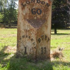
Milestone, The Limekilns, Bury Road (note this is actually in Snailwell Parish, Cambs)
4.5 km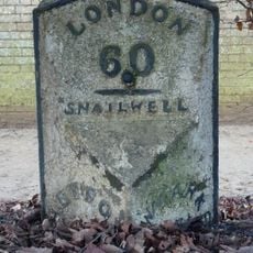
Milepost, Bury Road, at jct with A1506 opposide Bury Side Depot
4.5 kmVous avez visité ce lieu ? Touchez les étoiles pour le noter et partager votre expérience ou vos photos avec la communauté ! Essayez maintenant ! Vous pouvez annuler à tout moment.
Trouvez des trésors cachés à chaque coin de rue !
Des petits cafés pittoresques aux points de vue planqués, fuyez la foule et dénichez les lieux qui vous ressemblent vraiment. Notre app vous facilite la vie : recherche vocale, filtres malins, itinéraires optimisés et bons plans partagés par des voyageurs du monde entier. Téléchargez vite pour vivre l'aventure en version mobile !

Une approche inédite de la découverte touristique❞
— Le Figaro
Tous les lieux qui valent la peine d'être explorés❞
— France Info
Une excursion sur mesure en quelques clics❞
— 20 Minutes