
Milston, village in Wiltshire, England
Emplacement : Wiltshire
Coordonnées GPS : 51.20648,-1.76816
Dernière mise à jour : 25 mars 2025 à 03:28

Durrington Walls
1.9 km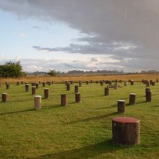
Woodhenge
2.3 km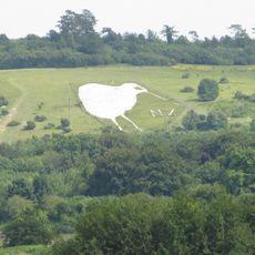
Bulford Kiwi
4 km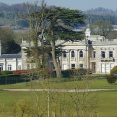
Tedworth House
7.3 km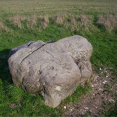
Cuckoo Stone
2.5 km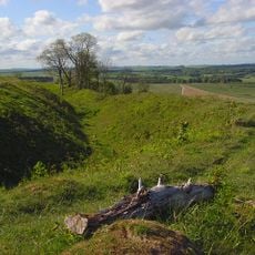
Sidbury Hill
7.4 km
Church of St Alban the Martyr
2.9 km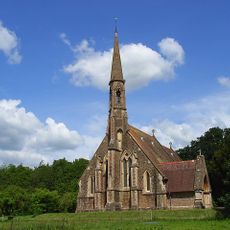
St Mary's Church, South Tidworth
7.6 km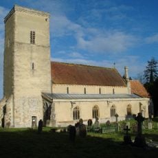
Church of All Saints
3.5 km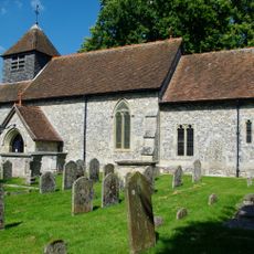
Church of St Peter
7 km
Church of St Michael and All Angels
2.4 km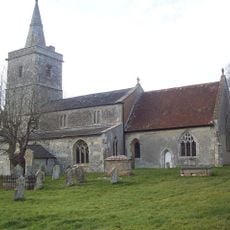
Church of All Saints
4.6 km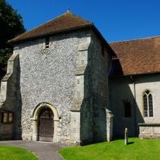
Church of St Leonard
1.6 km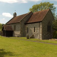
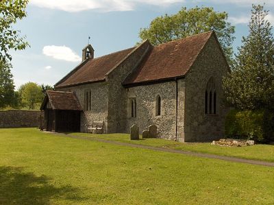
Church of St Mary
109 m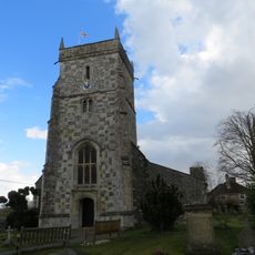
Church of All Saints
720 m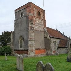
Church of the Holy Trinity
8.1 km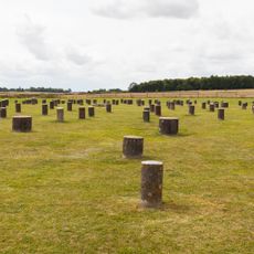
Henge monuments at Durrington Walls and Woodhenge, a round barrow cemetery, two additional round barrows and four settlements
2.1 km
Tidworth Library
8.2 km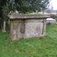
Dyke Monument In Churchyard, 11 Metres North West Of Tower, Church Of All Saints
3.5 km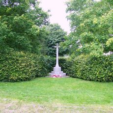
Shipton Bellinger War Memorial
7 km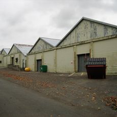
Buildings 455 and 456 (Five Aircraft Hangars), Durrington Camp
2.6 km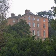
Netheravon House
3.4 km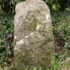
Milestone At Junction With Turnpike Road, A345
3.6 km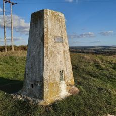
Triangulation Pillar
4.1 km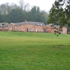
Stables To Netheravon House
3.4 km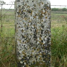
Milestone, Earl's Farm Down; 70m N of barrows
3.6 km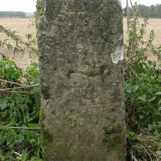
Milestone, N of Bulford Camp; 100m S of MOD red gate
2.9 km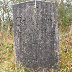
Milepost, Brigmerston Plantation; 150m S of MOD red gate
4.7 kmVous avez visité ce lieu ? Touchez les étoiles pour le noter et partager votre expérience ou vos photos avec la communauté ! Essayez maintenant ! Vous pouvez annuler à tout moment.
Trouvez des trésors cachés à chaque coin de rue !
Des petits cafés pittoresques aux points de vue planqués, fuyez la foule et dénichez les lieux qui vous ressemblent vraiment. Notre app vous facilite la vie : recherche vocale, filtres malins, itinéraires optimisés et bons plans partagés par des voyageurs du monde entier. Téléchargez vite pour vivre l'aventure en version mobile !

Une approche inédite de la découverte touristique❞
— Le Figaro
Tous les lieux qui valent la peine d'être explorés❞
— France Info
Une excursion sur mesure en quelques clics❞
— 20 Minutes