
East Halton, localité britannique du comté anglais de Lincolnshire
Emplacement : North Lincolnshire
Coordonnées GPS : 53.66670,-0.28330
Dernière mise à jour : 12 avril 2025 à 13:22
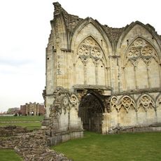
Thornton Abbey
2.2 km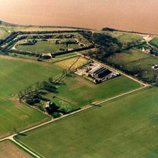
Fort Paull
6.2 km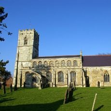
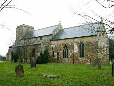
Church of All Saints
3.4 km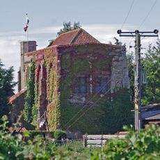
Goxhill Hall
2.6 km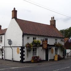
Thornton Hunt Inn
5.3 km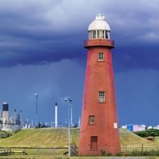
Phare de Killingholme High
4.8 km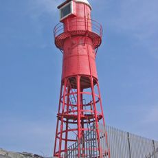
Thorngumbald Clough High Lighthouse
6 km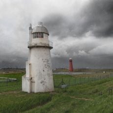
Phare de Killingholme South
5 km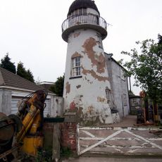
Phare de Killingholme North
4.6 km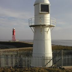
Thorngumbald Clough Low Lighthouse
6 km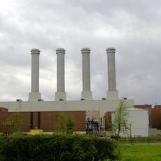
Killingholme Power Stations
2.1 km
Church of St.andrew
6.6 km
Church of St Andrew
6.2 km
Church of Saint Nicholas
6.5 km
Church of St.Margaret
6.3 km
Church of Saint Denys
3.1 km
Church of Saint Peter
1.9 km
Church of Saint Lawrence
5.3 km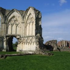
Remains Of Thornton Abbey Church And Adjoining Monastic Ranges
2.2 km
Thornton Abbey Gatehouse
2.4 km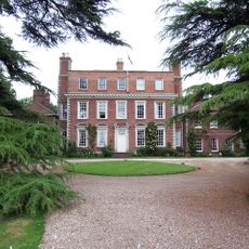
Thornton Hall, Pavilion Wings And Flanking Screen Walls
4.6 km
Medieval hall adjoining north east corner of Goxhill Hall
2.6 km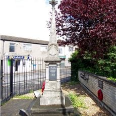
Ulceby War Memorial
6.3 km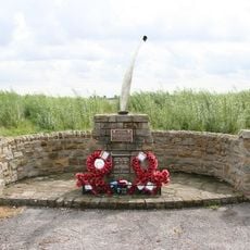
USAAF Memorial, Goxhill Airfield
3.1 km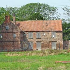
Manor Farmhouse
2.8 km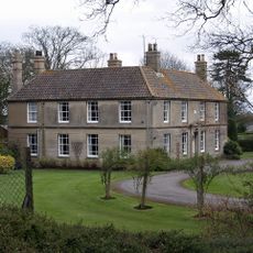
The Grove
6.1 km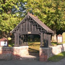
Thornton Curtis War Memorial Lychgate
5.3 km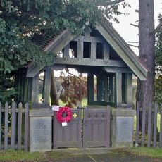
Wootton WWI Memorial Lychgates, Lincolnshire
6.1 kmVous avez visité ce lieu ? Touchez les étoiles pour le noter et partager votre expérience ou vos photos avec la communauté ! Essayez maintenant ! Vous pouvez annuler à tout moment.
Trouvez des trésors cachés à chaque coin de rue !
Des petits cafés pittoresques aux points de vue planqués, fuyez la foule et dénichez les lieux qui vous ressemblent vraiment. Notre app vous facilite la vie : recherche vocale, filtres malins, itinéraires optimisés et bons plans partagés par des voyageurs du monde entier. Téléchargez vite pour vivre l'aventure en version mobile !

Une approche inédite de la découverte touristique❞
— Le Figaro
Tous les lieux qui valent la peine d'être explorés❞
— France Info
Une excursion sur mesure en quelques clics❞
— 20 Minutes