
Rougham, localité britannique du comté anglais de Norfolk
Emplacement : Breckland
Coordonnées GPS : 52.75073,0.71149
Dernière mise à jour : 3 mars 2025 à 00:52
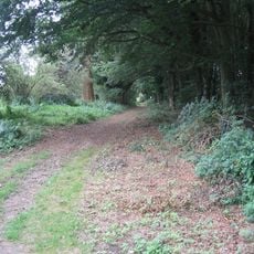
Peddars Way
4.1 km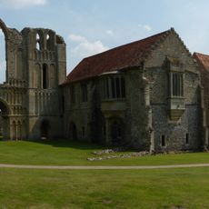
Prieuré de Castle Acre
5.9 km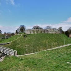
Château de Castle Acre
5.4 km
Castle Acre Bailey Gate
5.5 km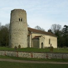
Church of St Andrew
4.4 km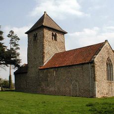
Church of All Saints
5 km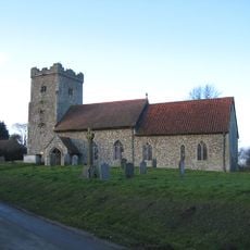
Church of St Andrew
4.4 km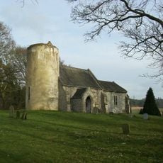
Church of St Nicholas
3.4 km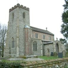
Church of St Andrew, Little Massingham
5.3 km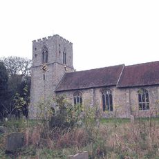
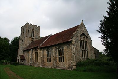
Church of St Mary, Rougham
62 m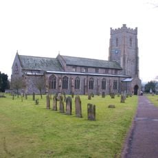
Church of St James
5.6 km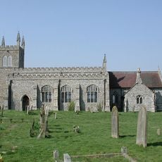
Church of St Peter
3.1 km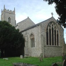
Church of St Mary
4.1 km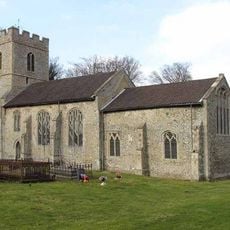
Church of St George
6.5 km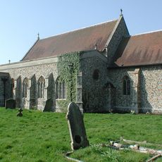
Church of All Saints
2.3 km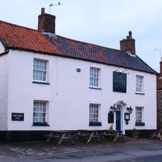
Albert Victor Public House
5.5 km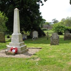
Harpley War Memorial
7 km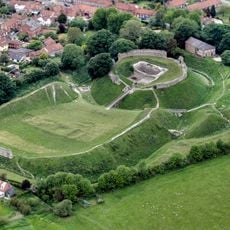
Castle Acre Castle, town defences and Bailey Gate
5.5 km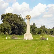
Tittleshall War Memorial
5.8 km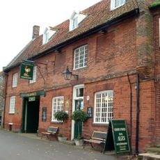
The Ostrich Public House With Attached Cottage At East
5.5 km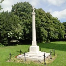
Great Massingham War Memorial
4.1 km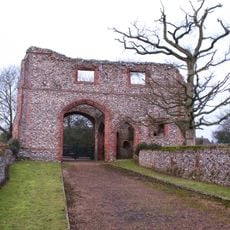
Remains of Gatehouse of Cluniac Priory of St Mary and St Peter and St Paul
5.8 km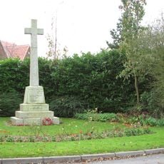
Weasenham War Memorial
2.6 km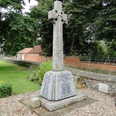
Castle Acre and Newton War Memorial
5.6 km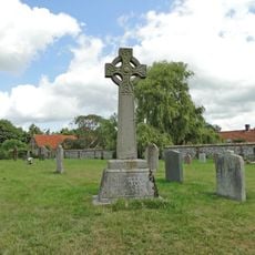
Wellingham War Memorial
4.4 km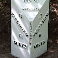
Milepost, S of N edge of New Wood
2 km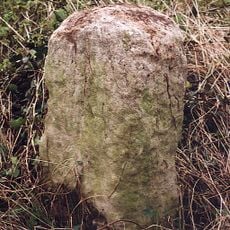
Milestone, Lexham Rdoad, opp. No. 8
5.6 km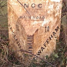
Milepost, near track to Uphouse Farm, S.Raynham
5.4 kmVous avez visité ce lieu ? Touchez les étoiles pour le noter et partager votre expérience ou vos photos avec la communauté ! Essayez maintenant ! Vous pouvez annuler à tout moment.
Trouvez des trésors cachés à chaque coin de rue !
Des petits cafés pittoresques aux points de vue planqués, fuyez la foule et dénichez les lieux qui vous ressemblent vraiment. Notre app vous facilite la vie : recherche vocale, filtres malins, itinéraires optimisés et bons plans partagés par des voyageurs du monde entier. Téléchargez vite pour vivre l'aventure en version mobile !

Une approche inédite de la découverte touristique❞
— Le Figaro
Tous les lieux qui valent la peine d'être explorés❞
— France Info
Une excursion sur mesure en quelques clics❞
— 20 Minutes