
East Rounton, village and civil parish in North Yorkshire, United Kingdom
Emplacement : North Yorkshire
Coordonnées GPS : 54.42310,-1.34951
Dernière mise à jour : 3 mars 2025 à 03:54

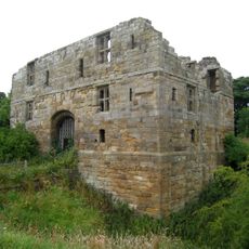
Whorlton Castle
5.9 km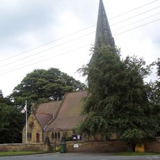
Church of Holy Cross
5.6 km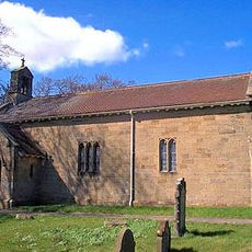
Church of St Lawrence
166 m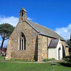
Church of St Mary
3.6 km
Church of St Leonard
2.5 km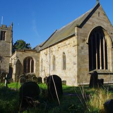
Church of All Saints
5.9 km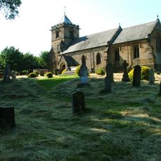
Church of All Saints
4.7 km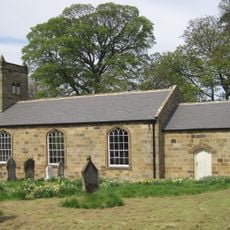
Church of All Saints
4.2 km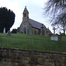
Church of St Oswald
923 m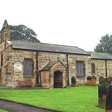
Church of St Oswald
3.5 km
Church of St Mary
4.6 km
Outbuilding To North West Of Church Of All Saints
4.7 km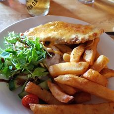
The Horse Shoe Inn
996 m
The Old School (South Of Crathorne Reading Room)
4.6 km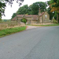
Lodge And Gateway With Srceen Walls To North East Of Rounton Grange
941 m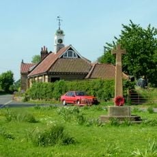
Ingleby Arncliffe War Memorial
3.7 km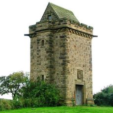
Water Tower To South West Of Gabriel Farmhouse
3.4 km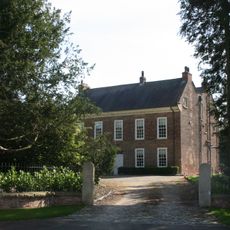
The Rectory
4.6 km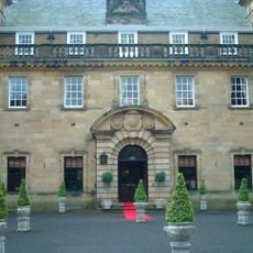
Crathorne Hall
5.7 km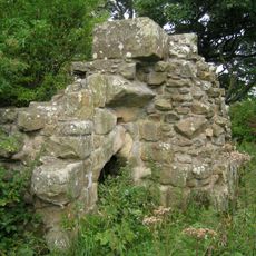
Ruins Of Whorlton Castle Undercrofts
5.8 km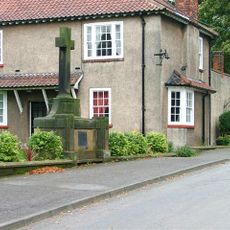
East Rounton War Memorial
79 m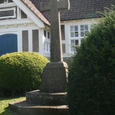
Crathorne War Memorial
4.6 km
Town End Farmhouse
4.5 km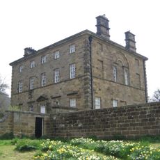
Arncliffe Hall
4.3 km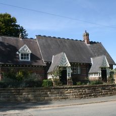
Village School
4.5 km
Chapel House And Outbuildings To North
4.7 km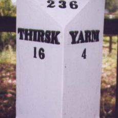
Milestone, S end of village, N of minor X rds
4.6 km
Milestone, N end of old section of A172
3.7 kmVous avez visité ce lieu ? Touchez les étoiles pour le noter et partager votre expérience ou vos photos avec la communauté ! Essayez maintenant ! Vous pouvez annuler à tout moment.
Trouvez des trésors cachés à chaque coin de rue !
Des petits cafés pittoresques aux points de vue planqués, fuyez la foule et dénichez les lieux qui vous ressemblent vraiment. Notre app vous facilite la vie : recherche vocale, filtres malins, itinéraires optimisés et bons plans partagés par des voyageurs du monde entier. Téléchargez vite pour vivre l'aventure en version mobile !

Une approche inédite de la découverte touristique❞
— Le Figaro
Tous les lieux qui valent la peine d'être explorés❞
— France Info
Une excursion sur mesure en quelques clics❞
— 20 Minutes