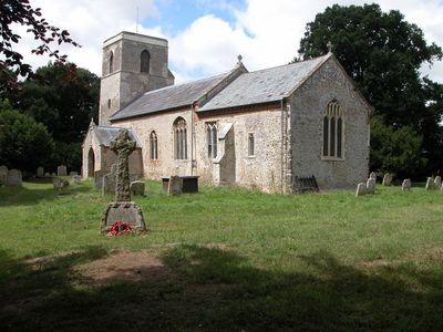
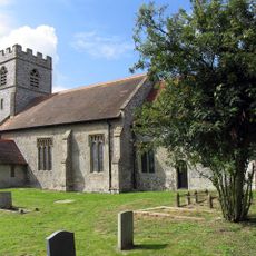
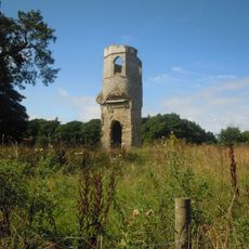
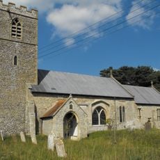
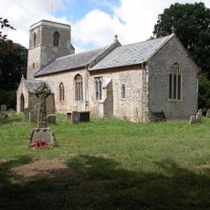
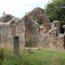
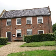
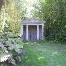
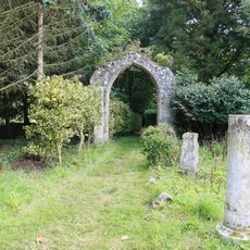
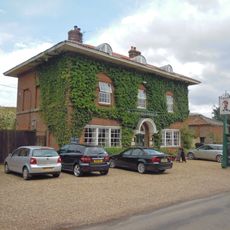
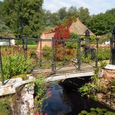
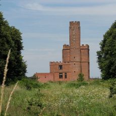
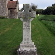
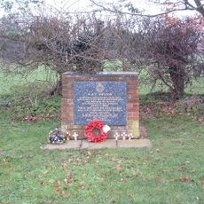
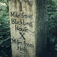
Itteringham, village in the United Kingdom
Emplacement : North Norfolk
Coordonnées GPS : 52.83450,1.18745
Dernière mise à jour : 27 mars 2025 à 23:07
The Mausoleum
2.4 km
Wolterton Hall
1.7 km
Mannington Hall
1 km
Church of St Andrew, Wickmere
3.2 km
Church of St Margaret
3.4 km
Church of St Peter
3.7 km
Church of St Andrew
2.3 km
Church of St Margaret
1.8 km
Church of St Andrew
3.2 km
Church of St Peter and St Paul
2.9 km
Church of St Mary
337 m
Remains of Parish Church of Mannington
1 km
Congregational Chapel
2 km
Temple In Garden Of Mannington Hall Circa 50 Metres South Of South East Corner Of Moat
914 m
Arch 12 Metres South East Of Chancel Of Mannington Church
980 m
Saracen's Head
2.6 km
Draw Bridge At Mannington Hall
1 km
Itteringham War Memorial
326 m
Arch Circa 9 Metres South West Of Nave Of Mannington Church
997 m
The Tower House
2.6 km
Milestone On North Side Of B1354
3.3 km
Little Barningham War Memorial
2.3 km
Walls To Garden And Moat, Bridge And Attached Gazebo And Arch At Mannington Hall
1 km
Manor Farm House And Attached Garden Walls
350 m
RAF Oulton Memorial
3.3 km
Milestone, opp. sign for rd narrows and bridge weight limit
3.5 km
Milestone, between Wolterton Hall and church ruins
1.8 km
Milestone, opp. W end of wood, 10yds E of metal gate opp.
3.3 kmVous avez visité ce lieu ? Touchez les étoiles pour le noter et partager votre expérience ou vos photos avec la communauté ! Essayez maintenant ! Vous pouvez annuler à tout moment.
Trouvez des trésors cachés à chaque coin de rue !
Des petits cafés pittoresques aux points de vue planqués, fuyez la foule et dénichez les lieux qui vous ressemblent vraiment. Notre app vous facilite la vie : recherche vocale, filtres malins, itinéraires optimisés et bons plans partagés par des voyageurs du monde entier. Téléchargez vite pour vivre l'aventure en version mobile !
Une approche inédite de la découverte touristique❞
— Le Figaro
Tous les lieux qui valent la peine d'être explorés❞
— France Info
Une excursion sur mesure en quelques clics❞
— 20 Minutes