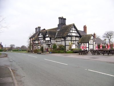
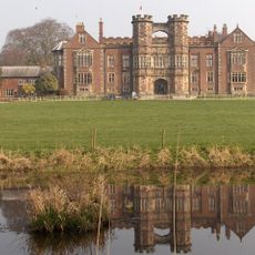
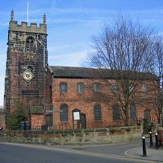
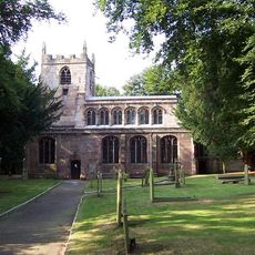
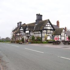
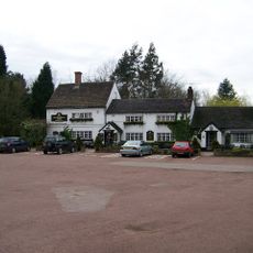
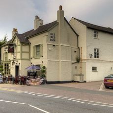
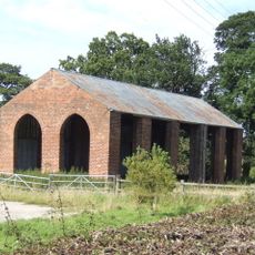
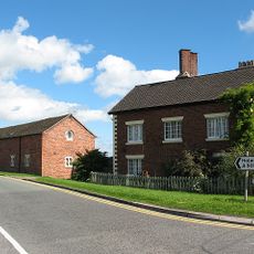
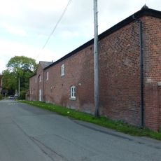
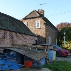
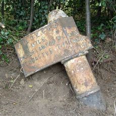
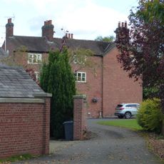
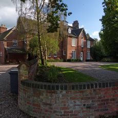
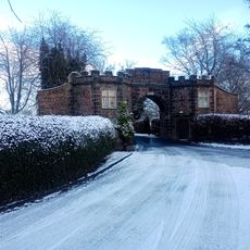
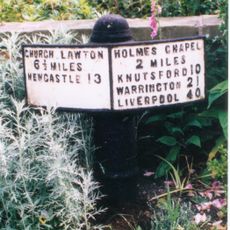
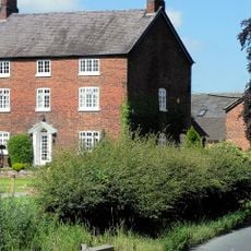
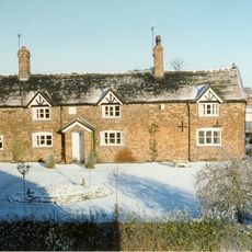
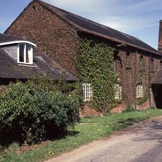
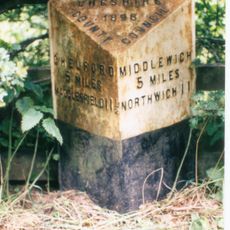
Brereton, civil parish in Cheshire, England
Emplacement : Cheshire East
Coordonnées GPS : 53.18072,-2.32384
Dernière mise à jour : 3 mars 2025 à 06:12
Brereton Hall
326 m
Église Saint-Luc de Holmes Chapel
3.3 km
St Oswald's Church, Brereton
331 m
St Peter's Church, Swettenham
2.8 km
St John the Evangelist's Church, Sandbach Heath
3.5 km
All Saints Chapel, Somerford
3 km
Twemlow Viaduct
3.1 km
The Bear's Head Hotel
1 km
Swettenham Arms
2.8 km
The Red Lion
3.2 km
Holmes Chapel Library
3.1 km
Pillared haybarn 80 metres north west of Park House Farmhouse
1.5 km
Farmhouse, Brickhouse Farm No 1
3.2 km
Farm building comprising barn, shippon, stables and cartshed 40 metres west of Park House Farmhouse
1.4 km
Manor Farmhouse
2.8 km
Milepost at 7678 6587
1.9 km
Park House Farmhouse
1.4 km
Old Rectory
608 m
Sundial 10 metres south of east bay of nave of Church of St. Oswald
328 m
South Lodge to Brereton Hall School
960 m
Milepost at 7744 6456
1.1 km
Farmhouse, Brickhouse Farm No 2
3.3 km
Bridge Farmhouse
3 km
Park Mill And Park Cottage
1.5 km
Milepost, NW of Arclid Hall Farm
3.1 km
Milepost, W of Holmes Chapel
4.2 km
Milepost, roadside at SJ769673
2.9 km
Milepost, SW of Twemlow Green
3.5 kmVous avez visité ce lieu ? Touchez les étoiles pour le noter et partager votre expérience ou vos photos avec la communauté ! Essayez maintenant ! Vous pouvez annuler à tout moment.
Trouvez des trésors cachés à chaque coin de rue !
Des petits cafés pittoresques aux points de vue planqués, fuyez la foule et dénichez les lieux qui vous ressemblent vraiment. Notre app vous facilite la vie : recherche vocale, filtres malins, itinéraires optimisés et bons plans partagés par des voyageurs du monde entier. Téléchargez vite pour vivre l'aventure en version mobile !
Une approche inédite de la découverte touristique❞
— Le Figaro
Tous les lieux qui valent la peine d'être explorés❞
— France Info
Une excursion sur mesure en quelques clics❞
— 20 Minutes