
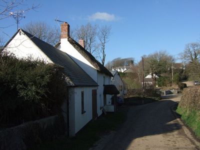
Inwardleigh, village au Royaume-Uni
Emplacement : West Devon
Altitude : 162,6 m
Coordonnées GPS : 50.77592,-4.04321
Dernière mise à jour : 2 mars 2025 à 23:37
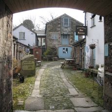
Museum of Dartmoor Life
5 km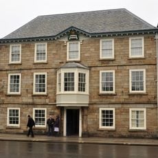
Town Hall
5 km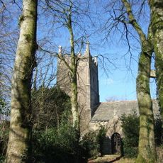
Church of St Petrock
92 m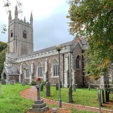
Church of All Saints
4.8 km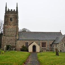
Church of St James
3.4 km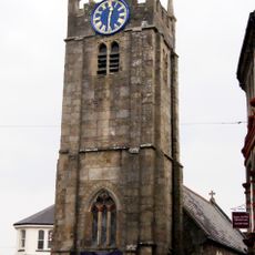
Chapel Of St James
5 km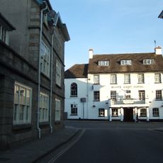
White Hart Hotel
5 km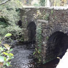
Brightley Bridge
4.3 km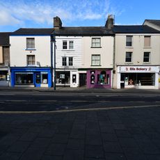
13, Fore Street
5 km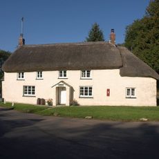
Priory Cottage
4.3 km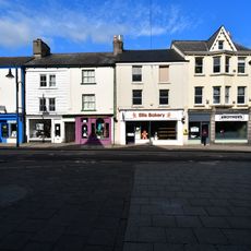
14, Fore Street
5 km
Okehampton Library
5 km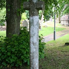
Churchyard Cross Immediately West Of All Saints Church
4.8 km
Lloyds Bank
5 km
5, West Street
5 km
Brock's Almshouses
5.3 km
1 and 3, West Street
5 km
1 and 3, St James Street
5 km
26-38, Station Road
5.3 km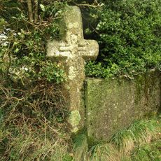
Wayside cross in the garden hedge of Southcott Cottage, at a crossroads called Southcott Cross
4.6 km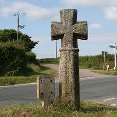
Durdon Cross
3.9 km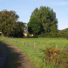
Waterhouse Farmhouse
2.4 km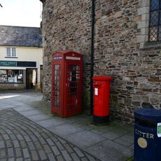
K6 Telephone Kiosk Outside St James's Church, Fore Street
5 km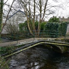
Footbridge About 30 Metres West Of Chimney At Town Mill
5.3 km
11 And 13, East Street
5 km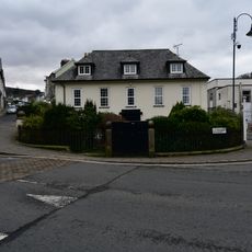
Darley House Including Front Garden Area Railings And Piers
5.1 km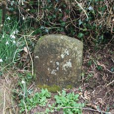
Milestone, Five Oaks, on an old loop of the road opp. New Road Estate, at Folly gate
2.4 km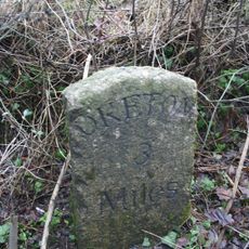
Milestone, 20m E of small bridge at bottom of hill, 300m W of drive to Yelland Farm
5.2 kmAvis
Vous avez visité ce lieu ? Touchez les étoiles pour le noter et partager votre expérience ou vos photos avec la communauté ! Essayez maintenant ! Vous pouvez annuler à tout moment.
Trouvez des trésors cachés à chaque coin de rue !
Des petits cafés pittoresques aux points de vue planqués, fuyez la foule et dénichez les lieux qui vous ressemblent vraiment. Notre app vous facilite la vie : recherche vocale, filtres malins, itinéraires optimisés et bons plans partagés par des voyageurs du monde entier. Téléchargez vite pour vivre l'aventure en version mobile !

Une approche inédite de la découverte touristique❞
— Le Figaro
Tous les lieux qui valent la peine d'être explorés❞
— France Info
Une excursion sur mesure en quelques clics❞
— 20 Minutes