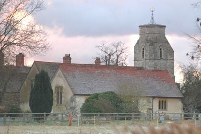
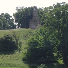
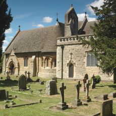
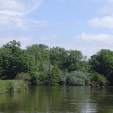
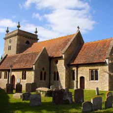
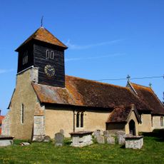
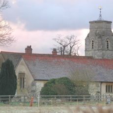
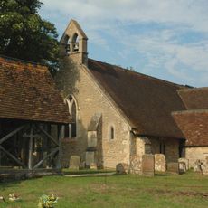
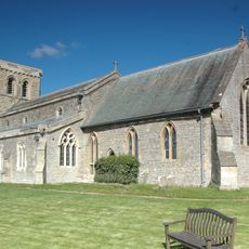
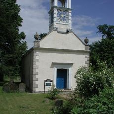
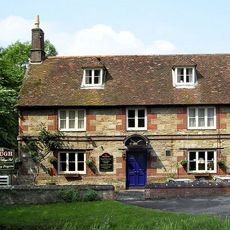
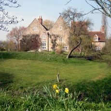
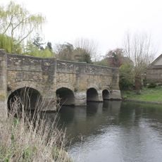
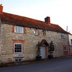
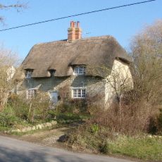
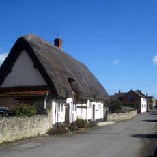
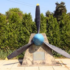
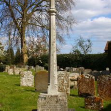
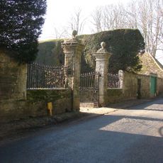
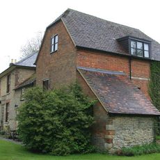
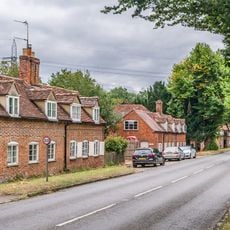
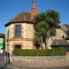
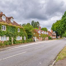
Marsh Baldon, village britannique
Emplacement : South Oxfordshire
Site web : http://www.baldons.org.uk/
Partage une frontière avec : Toot Baldon, Stadhampton, Nuneham Courtenay, Clifton Hampden, Berinsfield
Site web : http://baldons.org.uk
Coordonnées GPS : 51.69000,-1.18400
Dernière mise à jour : 3 mars 2025 à 03:25
Garsington Manor
3.1 km
RAF Nuneham Park
2.8 km
Harcourt Arboretum
1.3 km
Clifton Hampden Manor
4.1 km
Carfax Conduit
3.2 km
Old All Saints Church, Nuneham Courtenay
2.6 km
Lock Wood Island
3.6 km
Church of St John the Baptist
3.9 km
Church of St Leonard
4.3 km
Church of St Peter
420 m
Church of St Lawrence
953 m
Coach And Horses Inn
2.9 km
Church of St Mary
3.1 km
Church of St Katherine
2.7 km
The Plough
3.3 km
Camoys Court
2.8 km
Chiselhampton Bridge
3 km
The Crown Public House
1.4 km
73, Southend
3.2 km
Thatched Cottages
3.6 km
7th Photo Group Memorial, Berinsfield
3.5 km
Stadhampton War Memorial
3.9 km
Gatepiers, Walls, Gates And Railings To Forecourt Of Manor House
3.2 km
Stadhampton Mill
3.9 km
29 And 30, A423
1.2 km
The Toll House
3.8 km
1 and 2, A423
1.2 km
Wg Cdr A. Warburton Memorial, Berinsfield
3.3 kmAvis
Vous avez visité ce lieu ? Touchez les étoiles pour le noter et partager votre expérience ou vos photos avec la communauté ! Essayez maintenant ! Vous pouvez annuler à tout moment.
Trouvez des trésors cachés à chaque coin de rue !
Des petits cafés pittoresques aux points de vue planqués, fuyez la foule et dénichez les lieux qui vous ressemblent vraiment. Notre app vous facilite la vie : recherche vocale, filtres malins, itinéraires optimisés et bons plans partagés par des voyageurs du monde entier. Téléchargez vite pour vivre l'aventure en version mobile !
Une approche inédite de la découverte touristique❞
— Le Figaro
Tous les lieux qui valent la peine d'être explorés❞
— France Info
Une excursion sur mesure en quelques clics❞
— 20 Minutes