
Stanstead, village and civil parish in Suffolk, United Kingdom
Emplacement : Babergh
Coordonnées GPS : 52.10632,0.69096
Dernière mise à jour : 8 avril 2025 à 08:07

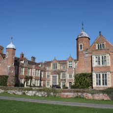
Kentwell Hall
2.1 km
Glemsford Pits
2.5 km
Kentwell Woods
2 km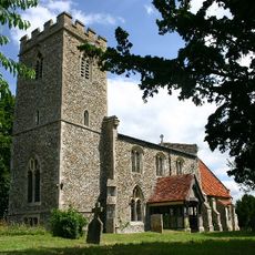
Church of All Saints, Boxted
2.6 km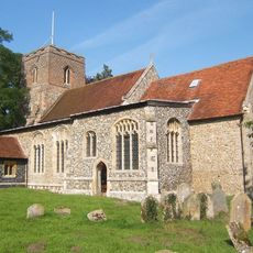
Church of All Saints
3.8 km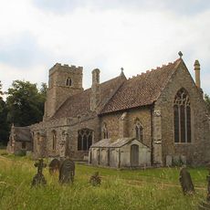
Church of St George
3 km
Church of St James
599 m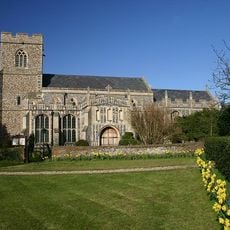
Church of St Mary
1 km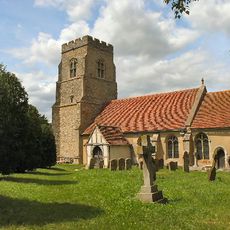
Church of St Peter and St Paul
3.4 km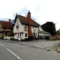
Angel Inn
1.9 km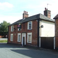
Rose And Crown Inn
3.5 km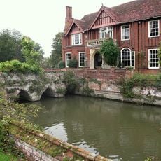
Boxted Hall
2.4 km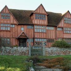
Monks Hall
964 m
Bridge Street Farmhouse
2.8 km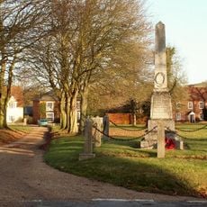
Hartest War Memorial
3.9 km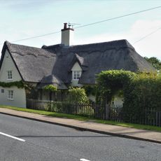
Thatched Cottage
2.9 km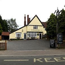
The Black Lion Inn
1.7 km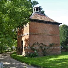
Dovecote to the south west of Kentwell Hall
2.1 km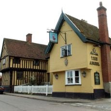
Angel House
1.9 km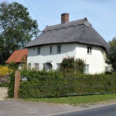
37, High Street
2.9 km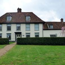
Park Farmhouse
1 km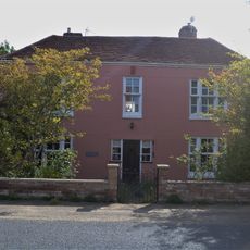
High Street Farmhouse
2.9 km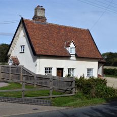
42, High Street
2.9 km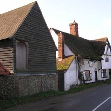
The Oaklands
163 m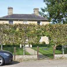
The Dower House
2.8 km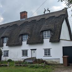
17 And 19, Tye Green
1.9 km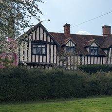
Peverells
1.9 km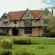
13-17, Chequers Lane
1.4 kmAvis
Vous avez visité ce lieu ? Touchez les étoiles pour le noter et partager votre expérience ou vos photos avec la communauté ! Essayez maintenant ! Vous pouvez annuler à tout moment.
Trouvez des trésors cachés à chaque coin de rue !
Des petits cafés pittoresques aux points de vue planqués, fuyez la foule et dénichez les lieux qui vous ressemblent vraiment. Notre app vous facilite la vie : recherche vocale, filtres malins, itinéraires optimisés et bons plans partagés par des voyageurs du monde entier. Téléchargez vite pour vivre l'aventure en version mobile !

Une approche inédite de la découverte touristique❞
— Le Figaro
Tous les lieux qui valent la peine d'être explorés❞
— France Info
Une excursion sur mesure en quelques clics❞
— 20 Minutes