
Kettlestone, localité britannique du comté anglais de Norfolk
Emplacement : North Norfolk
Coordonnées GPS : 52.84724,0.92228
Dernière mise à jour : 7 mars 2025 à 00:27
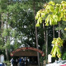
Thursford Collection
2.9 km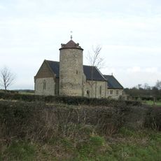
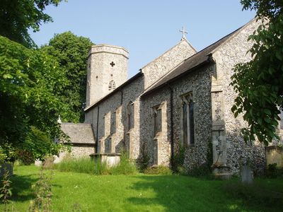
Church of St Andrew
1.8 km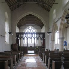
Church of St Mary
3.6 km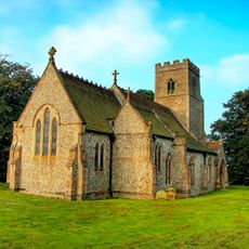
Church of St Andrew
2.5 km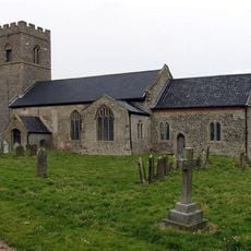
Church of St Mary
2.7 km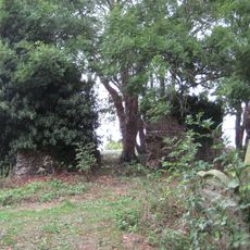
Church of All Saints
4.1 km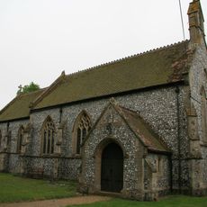
Christ Church
2.5 km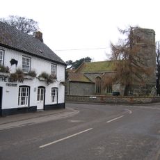
Church of St Andrew
4.5 km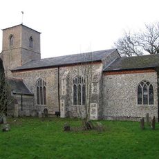
Church of All Saints
3.6 km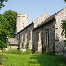
Church of All Saints
121 m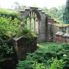
Remains of Church of St Thomas, Thorpland South East of Thorpland Hall
3.2 km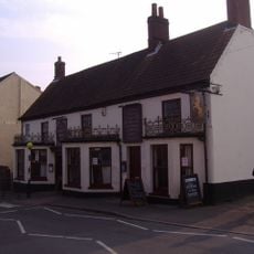
The Rampant Horse Inn
5.2 km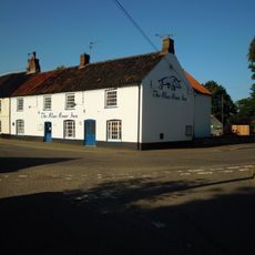
The Boar Inn
4.5 km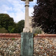
Great Snoring War Memorial
3.5 km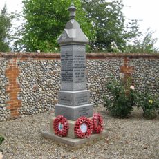
Great Ryburgh War Memorial
4.5 km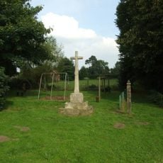
Stibbard War Memorial
3.7 km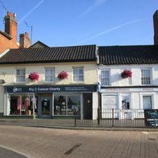
35, Norwich Street
5.2 km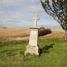
Little Snoring War Memorial
1.8 km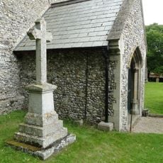
Kettlestone War Memorial
134 m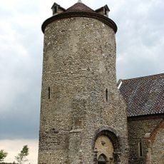
Detached Tower, Church Of St Andrew
1.8 km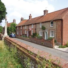
1,2,4, The Street
3.5 km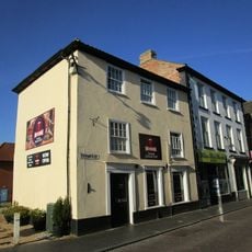
34, Norwich Road
4.7 km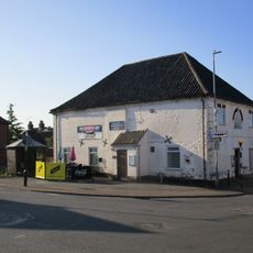
Fakenham Conservative Club
5.2 km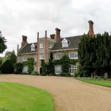
Thorpland Hall
3.3 km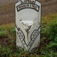
Milepost, 20yds S of cross roads
1.5 km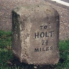
Milestone, W side of entrance drive to The Lings
966 m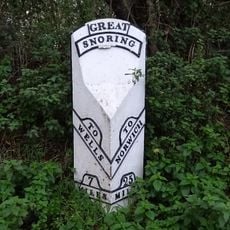
Milepost, Just North of Snoring Windmill
3 km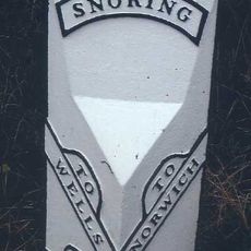
Milepost, 70yds N of jct with Kettlestone road
1.7 kmVous avez visité ce lieu ? Touchez les étoiles pour le noter et partager votre expérience ou vos photos avec la communauté ! Essayez maintenant ! Vous pouvez annuler à tout moment.
Trouvez des trésors cachés à chaque coin de rue !
Des petits cafés pittoresques aux points de vue planqués, fuyez la foule et dénichez les lieux qui vous ressemblent vraiment. Notre app vous facilite la vie : recherche vocale, filtres malins, itinéraires optimisés et bons plans partagés par des voyageurs du monde entier. Téléchargez vite pour vivre l'aventure en version mobile !

Une approche inédite de la découverte touristique❞
— Le Figaro
Tous les lieux qui valent la peine d'être explorés❞
— France Info
Une excursion sur mesure en quelques clics❞
— 20 Minutes