
Morcott, village in the United Kingdom
Emplacement : Rutland
Coordonnées GPS : 52.59618,-0.63682
Dernière mise à jour : 6 mars 2025 à 07:58
Wing Water Treatment Works
3.3 km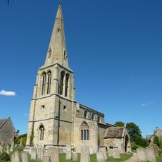
St Peter's Church, Barrowden
2.2 km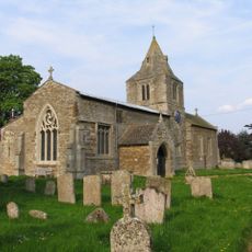
Church of St Andrew
2.8 km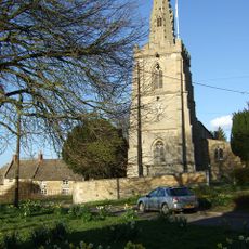
Church of St Mary
2.1 km
Church of St Nicholas
2.4 km
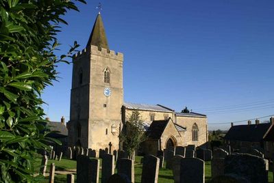
Church of St Mary
97 m
Church of St Peter
2.2 km
Church of St John the Baptist
2.8 km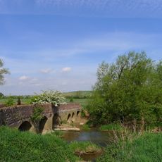
Turtle Bridge
2.2 km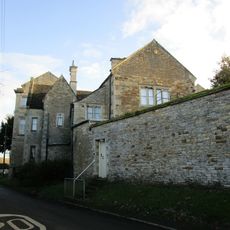
Morcott Hall School
67 m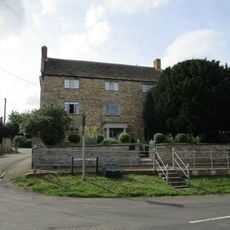
Firdale House
228 m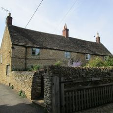
9 And 9A, High Street
124 m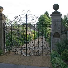
Luffenham Hall
2.8 km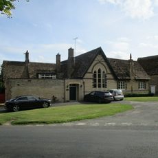
The Old School And School House
2.3 km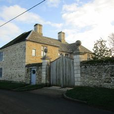
The Manor House
132 m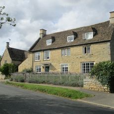
32 34, Main Street
2.2 km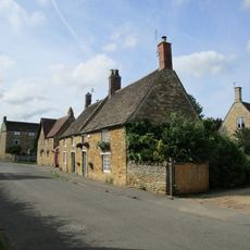
3 And 5, High Street
170 m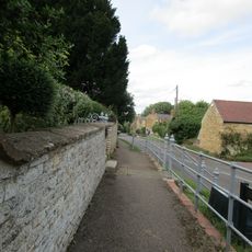
Wall And Gate To Firdale House
214 m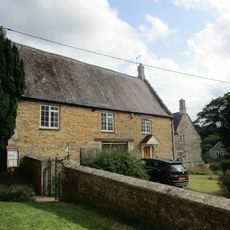
The Tithe House
2.1 km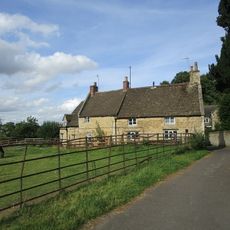
13-19, The Street
2.1 km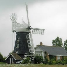
Windmill
846 m
Church Farmhouse
2.2 km
Barn In Grounds Of The Cottage
2.5 km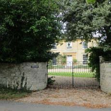
Carey's House
2.2 km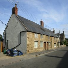
19-23, High Street
66 m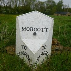
Milepost, Stamford Road; Peterborough Road jct
361 m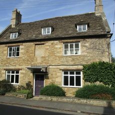
17, High Street
50 m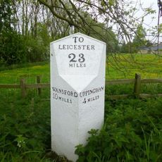
Milepost, Peterborough Road; Stamford Road jct
328 mVous avez visité ce lieu ? Touchez les étoiles pour le noter et partager votre expérience ou vos photos avec la communauté ! Essayez maintenant ! Vous pouvez annuler à tout moment.
Trouvez des trésors cachés à chaque coin de rue !
Des petits cafés pittoresques aux points de vue planqués, fuyez la foule et dénichez les lieux qui vous ressemblent vraiment. Notre app vous facilite la vie : recherche vocale, filtres malins, itinéraires optimisés et bons plans partagés par des voyageurs du monde entier. Téléchargez vite pour vivre l'aventure en version mobile !

Une approche inédite de la découverte touristique❞
— Le Figaro
Tous les lieux qui valent la peine d'être explorés❞
— France Info
Une excursion sur mesure en quelques clics❞
— 20 Minutes