
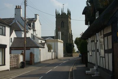
Shawbury, village britannique
Emplacement : Shropshire
Coordonnées GPS : 52.78696,-2.65526
Dernière mise à jour : 3 mars 2025 à 15:29
Château de Moreton-Corbet
2 km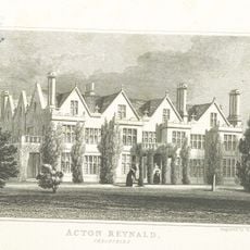
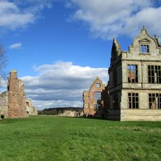
Acton Reynald Hall
3.1 km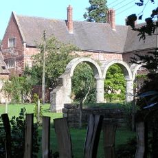
Maison d'High Ercall
5.2 km
St Michael's Church, High Ercall
5.3 km
Church of St Mary the Virgin
64 m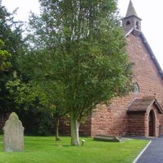
All Hallows, Rowton
5.8 km
Church of St Mary
3.8 km
Church of St Andrew
2.7 km
Church of St Bartholomew
2 km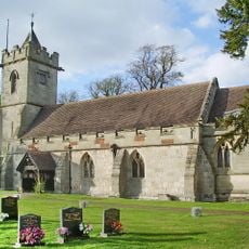
Church of St Mary Magdalene
3.9 km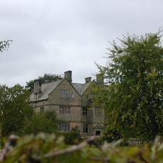
The Old Manor House
4 km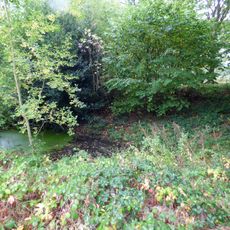
Moated site 140m east of St Mary's Church
180 m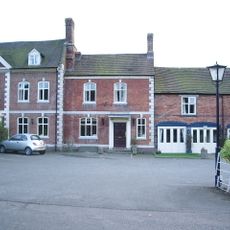
The Well House And The Elephant And Castle Hotel
4.3 km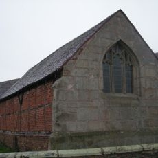
Stable At Poynton Manor
3.6 km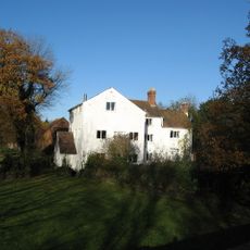
Ercall Mill Mill House
5.6 km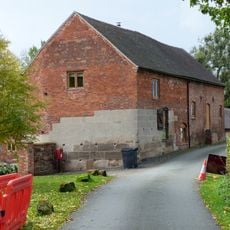
Moreton Mill
2.1 km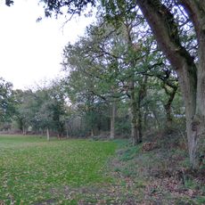
Ebury Hill
5 km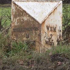
Milepost Approximately 425 Metres To South Of Field House
1.7 km
Moated site and associated ridge and furrow cultivation remains, 145m south of St Mary Magdalene's Church
4 km
The White House
4 km
Preston Farmhouse
4 km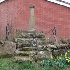
Sundial Approximately 60 Metres To North East Of Church Of Saint Andrew
2.8 km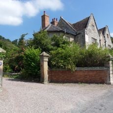
The Manor House
4.4 km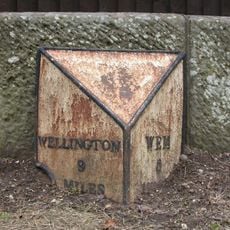
Milepost Approximately 10 Metres To West Of Shawbury Bridge
238 m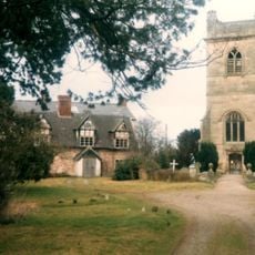
The Old Rectory
2 km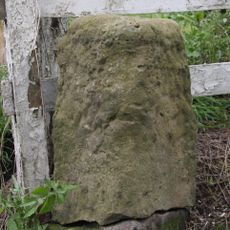
Milestone, Ercall Magna; opp. Poynton turn
4.9 km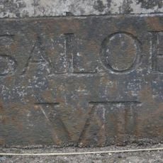
Milestone, Acton Reynald School wall S Grinshill turn
3.6 km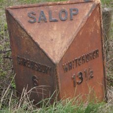
Milepost, Hadnall (N), by car sales
3.2 kmVous avez visité ce lieu ? Touchez les étoiles pour le noter et partager votre expérience ou vos photos avec la communauté ! Essayez maintenant ! Vous pouvez annuler à tout moment.
Trouvez des trésors cachés à chaque coin de rue !
Des petits cafés pittoresques aux points de vue planqués, fuyez la foule et dénichez les lieux qui vous ressemblent vraiment. Notre app vous facilite la vie : recherche vocale, filtres malins, itinéraires optimisés et bons plans partagés par des voyageurs du monde entier. Téléchargez vite pour vivre l'aventure en version mobile !

Une approche inédite de la découverte touristique❞
— Le Figaro
Tous les lieux qui valent la peine d'être explorés❞
— France Info
Une excursion sur mesure en quelques clics❞
— 20 Minutes