
Stapleford Abbotts, localité britannique du comté anglais de l'Essex
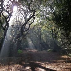
Emplacement : Epping Forest
Partage une frontière avec : Theydon Mount
Coordonnées GPS : 51.63800,0.16400
Dernière mise à jour : 6 mars 2025 à 13:54

Hainault Forest
2.4 km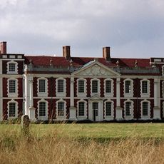
Hill Hall
4.1 km
Bedfords Park
3.8 km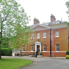
Bower House
3.1 km
Church of St John the Evangelist, Havering-atte-Bower
2.7 km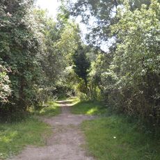
Curtismill Green
2.2 km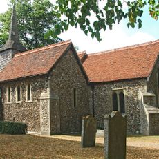
Church of St Mary, Stapleford Tawney
3.6 km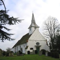
Parish Church of St Mary and All Saints
2.1 km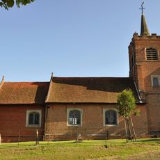
Church of St Michael The Archangel
3.8 km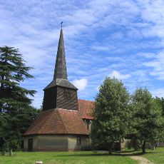
Church of St Thomas the Apostle
5.1 km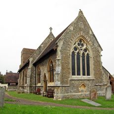
Parish Church of St Mary the Virgin, Stapleford Abbots
706 m
Blue Boar Inn
3.5 km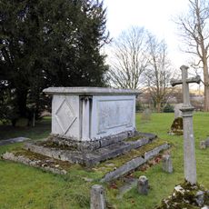
Church of All Saints Table Tomb In Churchyard Approximately 100 Feet North East Of Chancel To Sir Thomas Coxhead 1811
4.7 km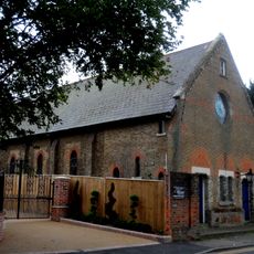
Holy Trinity Church
3.4 km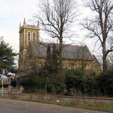
All Saints Church, Chigwell Row
4 km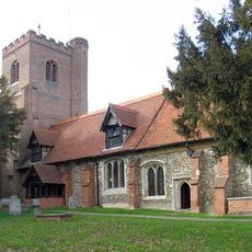
Church of All Saints
4.7 km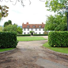
Lambourne Hall
2.2 km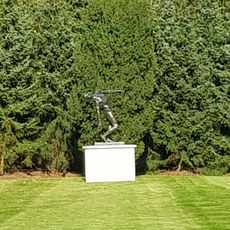
The Falling Man
5.1 km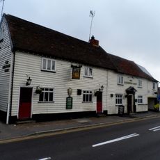
The Maltsters Arms Public House
3.5 km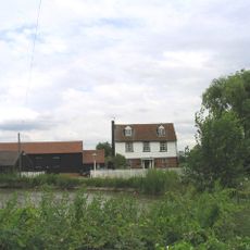
Watton Farmhouse
3.3 km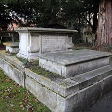
Church of All Saints Tombstone In Churchyard To Mrs E Rogers 1759 And R Rogers 1773
4.7 km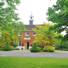
Stable Block At The Bower House
3.1 km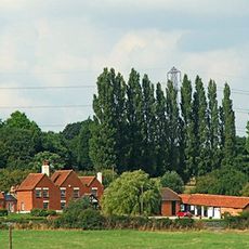
Skinners Farmhouse
3.1 km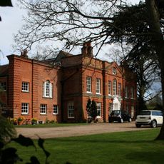
Lambourne Place
2.3 km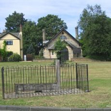
The Stocks And Whipping Post
2.8 km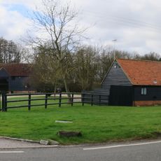
South Barn 60 Metres South Of Rose Hall Farmhouse
4.5 km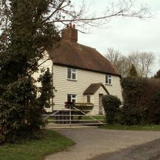
Brook Farm
2.8 km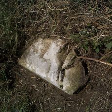
Milestone, 400m E of Piggots Farm
3.6 kmAvis
Vous avez visité ce lieu ? Touchez les étoiles pour le noter et partager votre expérience ou vos photos avec la communauté ! Essayez maintenant ! Vous pouvez annuler à tout moment.
Trouvez des trésors cachés à chaque coin de rue !
Des petits cafés pittoresques aux points de vue planqués, fuyez la foule et dénichez les lieux qui vous ressemblent vraiment. Notre app vous facilite la vie : recherche vocale, filtres malins, itinéraires optimisés et bons plans partagés par des voyageurs du monde entier. Téléchargez vite pour vivre l'aventure en version mobile !

Une approche inédite de la découverte touristique❞
— Le Figaro
Tous les lieux qui valent la peine d'être explorés❞
— France Info
Une excursion sur mesure en quelques clics❞
— 20 Minutes