
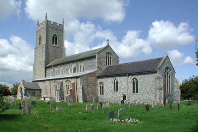
Sparham, village and civil parish in Norfolk, UK
Emplacement : Breckland District
Coordonnées GPS : 52.73446,1.07005
Dernière mise à jour : 7 mars 2025 à 23:36
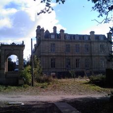
RAF Bylaugh Hall
3.9 km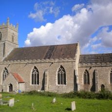
St Mary's Church, Elsing
3.8 km
St Faith's Church, Little Witchingham
4.2 km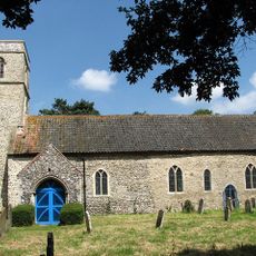
Church of St Andrew
4.8 km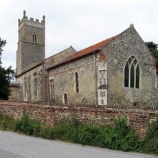
Church of St Thomas
4 km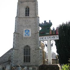
Church of St Michael and All Angels
4.2 km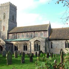
Church of St Mary
3 km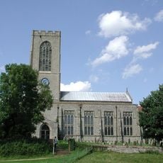
Church of All Saints
5.9 km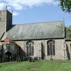
Church of St Margaret
1.8 km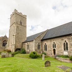
Church of the Nativity of St Mary
4.3 km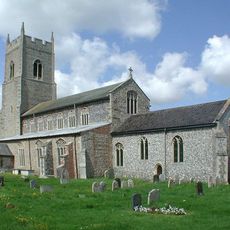
Church of St Mary
267 m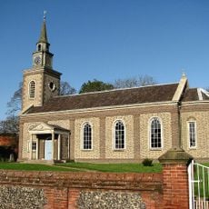
Church of All Saints
3 km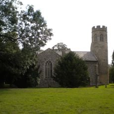
Church of St Mary
4 km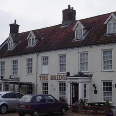
The Bridge Public House
3 km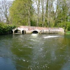
Weir Bridge
1.8 km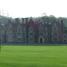
Great Witchingham Hall
3.9 km
Elsing Hall
4.9 km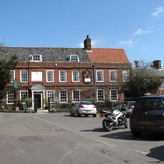
The Old Brewery House, Gates And Railings
4.2 km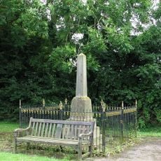
Foxley War Memorial, including railings
4.3 km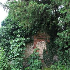
Fragment. Church Of All Saints. 14 Metres South West Of St Michaels Church
4.2 km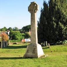
Swanton Morley War Memorial
5.9 km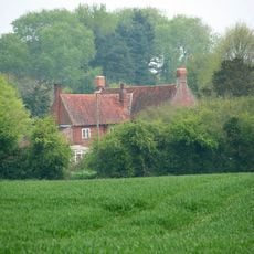
Old Hall
4.7 km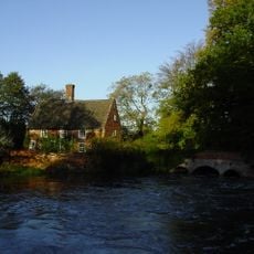
Mill House
1.8 km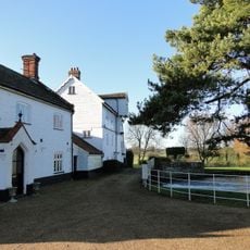
Elsing Mill Including Wheel House And Wheel Adjoining East
3.1 km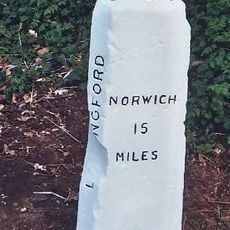
Milestone, opp. side of house on lane to Beck Hall. 6yds E of tel. pole
5.2 km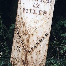
Milepost, 50yds E of Coach House
582 m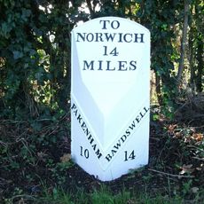
Milepost, 70yds S of Bawdeswell Primary School
3.3 km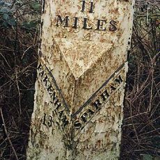
Milepost, 140yds E of turning to Wildlife Park
1.2 kmVous avez visité ce lieu ? Touchez les étoiles pour le noter et partager votre expérience ou vos photos avec la communauté ! Essayez maintenant ! Vous pouvez annuler à tout moment.
Trouvez des trésors cachés à chaque coin de rue !
Des petits cafés pittoresques aux points de vue planqués, fuyez la foule et dénichez les lieux qui vous ressemblent vraiment. Notre app vous facilite la vie : recherche vocale, filtres malins, itinéraires optimisés et bons plans partagés par des voyageurs du monde entier. Téléchargez vite pour vivre l'aventure en version mobile !

Une approche inédite de la découverte touristique❞
— Le Figaro
Tous les lieux qui valent la peine d'être explorés❞
— France Info
Une excursion sur mesure en quelques clics❞
— 20 Minutes