
Chelwood, localité britannique du comté anglais de Somerset
Emplacement : Bath and North East Somerset
Coordonnées GPS : 51.35490,-2.52490
Dernière mise à jour : 10 mars 2025 à 16:47

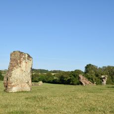
Stanton Drew stone circles
3.8 km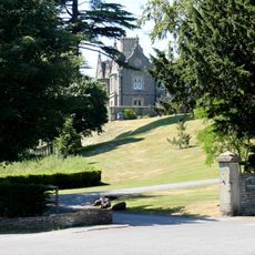
Cholwell House
3.6 km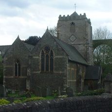
St Thomas à Becket Church, Pensford
2.5 km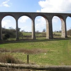
Pensford Viaduct
2.6 km
Folly Farm, Somerset
3.2 km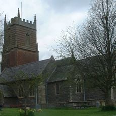
Church of St Augustine, Clutton
3.2 km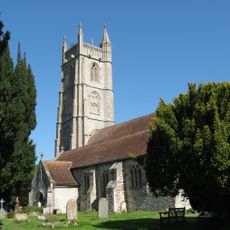
Church of All Saints, Publow
2.6 km
Church of St Mary the Virgin, Stanton Drew
4 km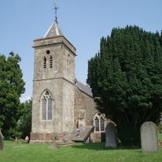
Church of St Leonard, Chelwood
892 m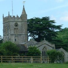
Church of St Mary
2.9 km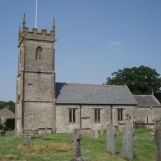
Church of All Saints, Farmborough
2.9 km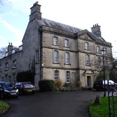
The Court
4 km
Bridge Over The River Chew
2.5 km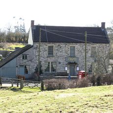
The Gamekeeper Public House
2.9 km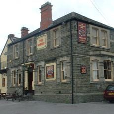
Railway Hotel
2.8 km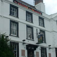
George And Dragon Public House
2.4 km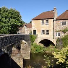
Bridge House
2.5 km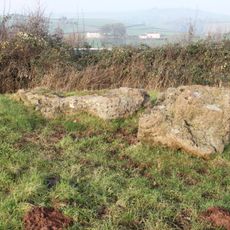
Large irregular stone circle at Stanton Drew south east of Church Farm
3.8 km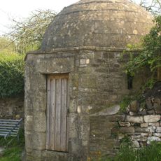
Round House
2.4 km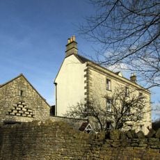
Conygre House
2.5 km
Hunstrete House, Flank Wall And West Wing
1.2 km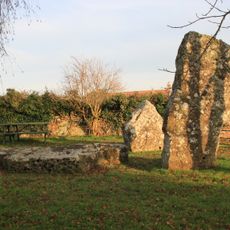
Stone cove at Stanton Drew 25m south west of St Mary's Church
4 km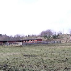
Arcade About 200 Metres North West Of Hunstrete House
1.1 km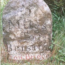
Milestone At National Grid Reference St 6169 6506
3.7 km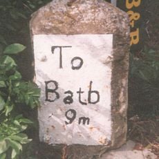
Milestone, Bath Road, Farmborough village, jct with Hunstrete Road
2.6 km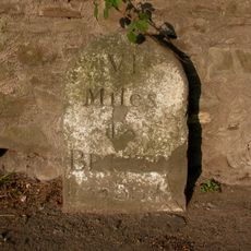
Milestone, New Road, Pensford
2.3 km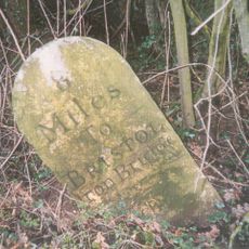
Milestone, Red Hill, N of Clutton
1.7 km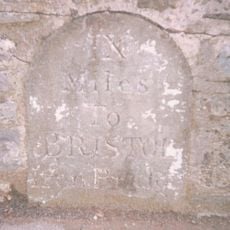
Milestone, Clutton opp. Warwick Arms
3 kmVous avez visité ce lieu ? Touchez les étoiles pour le noter et partager votre expérience ou vos photos avec la communauté ! Essayez maintenant ! Vous pouvez annuler à tout moment.
Trouvez des trésors cachés à chaque coin de rue !
Des petits cafés pittoresques aux points de vue planqués, fuyez la foule et dénichez les lieux qui vous ressemblent vraiment. Notre app vous facilite la vie : recherche vocale, filtres malins, itinéraires optimisés et bons plans partagés par des voyageurs du monde entier. Téléchargez vite pour vivre l'aventure en version mobile !

Une approche inédite de la découverte touristique❞
— Le Figaro
Tous les lieux qui valent la peine d'être explorés❞
— France Info
Une excursion sur mesure en quelques clics❞
— 20 Minutes