
Ashfield cum Thorpe, civil parish in Mid Suffolk, Suffolk, United Kingdom
Emplacement : Mid Suffolk
Coordonnées GPS : 52.21798,1.23524
Dernière mise à jour : 2 mars 2025 à 22:42
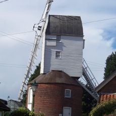
Webster's Mill, Framsden
3.5 km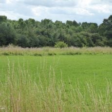
Fox Fritillary Meadow
3 km
Church of St Andrew
3.2 km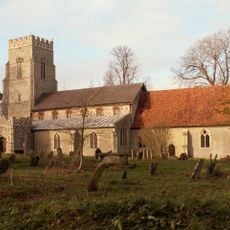
Church of St Mary
3.1 km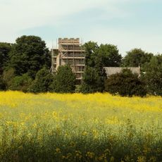
Church of St Peter
2.4 km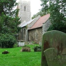
Church of St Mary
2.6 km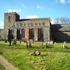
Church of St Mary Magdalene
3.7 km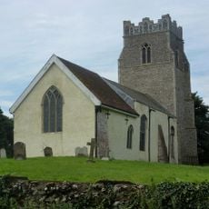
Church of St Peter
2.7 km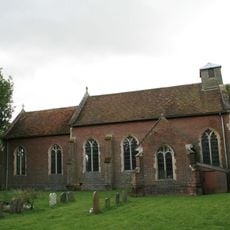
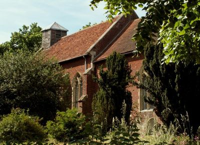
Church of St Mary
99 m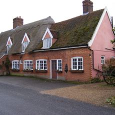
The Greyhound Inn, Framsden
3.3 km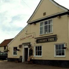
The Cherry Tree Inn, Debenham
3.6 km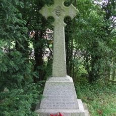
Winston War Memorial
3.2 km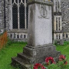
Framsden War Memorial
3.1 km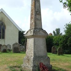
Cretingham War Memorial
2.7 km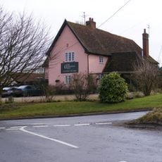
New Bell Public House
3 km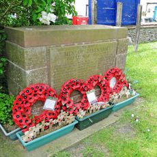
Debenham War Memorial
3.7 km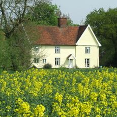
Woodcroft Hall
1.6 km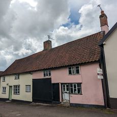
64 And 66, High Street
3.7 km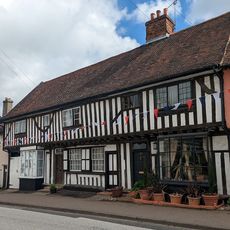
St Mary
3.7 km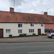
72 And 74, High Street
3.6 km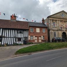
56, High Street
3.7 km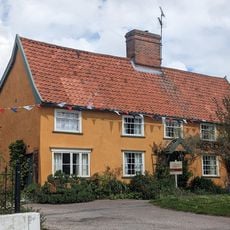
2 And 3, Cross Green
3.6 km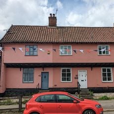
40 And 42, High Street
3.7 km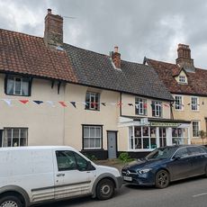
Debenham Fish Shop
3.7 km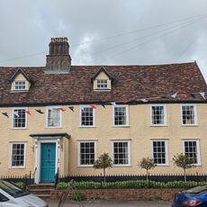
The Limes
3.7 km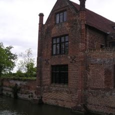
Crows Hall (including Bridge Over Moat And Walling Lining Inner Side Of Moat To West And South)
1.9 km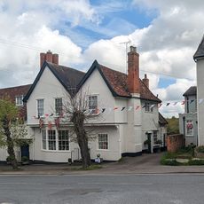
Lanchester Antiques Old House The Gables
3.7 km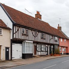
31-37, High Street
3.7 kmVous avez visité ce lieu ? Touchez les étoiles pour le noter et partager votre expérience ou vos photos avec la communauté ! Essayez maintenant ! Vous pouvez annuler à tout moment.
Trouvez des trésors cachés à chaque coin de rue !
Des petits cafés pittoresques aux points de vue planqués, fuyez la foule et dénichez les lieux qui vous ressemblent vraiment. Notre app vous facilite la vie : recherche vocale, filtres malins, itinéraires optimisés et bons plans partagés par des voyageurs du monde entier. Téléchargez vite pour vivre l'aventure en version mobile !

Une approche inédite de la découverte touristique❞
— Le Figaro
Tous les lieux qui valent la peine d'être explorés❞
— France Info
Une excursion sur mesure en quelques clics❞
— 20 Minutes