
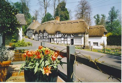
Wherwell, village britannique
Emplacement : Test Valley
Coordonnées GPS : 51.16629,-1.44477
Dernière mise à jour : 5 mars 2025 à 17:35
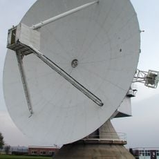
Observatoire de Chilbolton
2.5 km
Bury Hill
5.1 km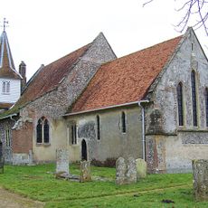
Church of St Mary the Less
903 m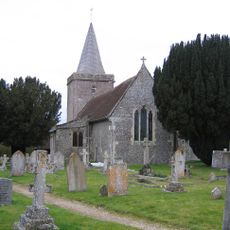
Church of St Peter
2.8 km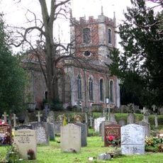
Church of St Mary the Virgin
6.4 km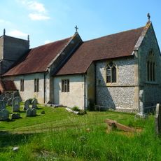
Church of All Saints
4.1 km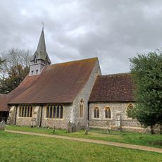
Church of St Peter and Holy Cross, Wherwell
252 m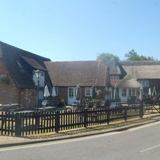
Poplar Farm Inn
5.8 km
Mausoleum In The Churchyard To The Iremonger Family
284 m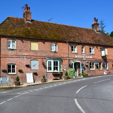
White Lion Public House
10 m
28, Church Street
206 m
29, Church Street
186 m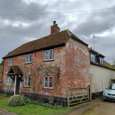
27, Church Street
215 m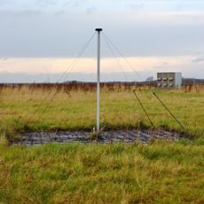
Rawlings Array
2.6 km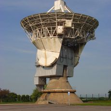
Chilbolton Advanced Meteorological Radar
2.4 km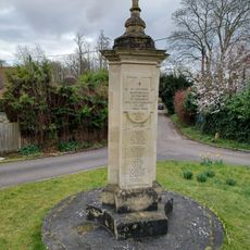
Wherwell War Memorial
160 m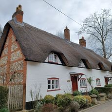
Antlers Cottage
222 m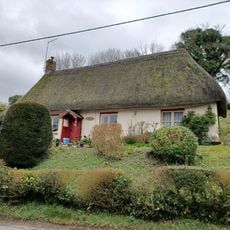
16, Winchester Road
194 m
Shepherds Cottages
541 m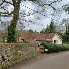
Manor Farmhouse
2.2 km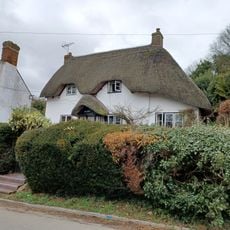
Ivy Cottage
156 m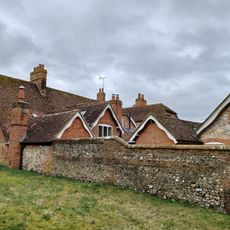
The Vicarage (With Outbuildings And Boundary Wall)
248 m
Andover Lodge
246 m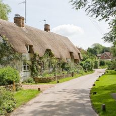
Tudor Cottage Willow Cottage
991 m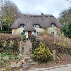
Mount Cottage
308 m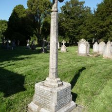
Upper Clatford War Memorial
4.1 km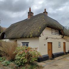
Rosemary Cottage
198 m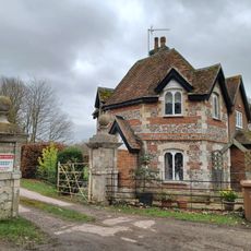
East Lodge To The Priory
691 mVous avez visité ce lieu ? Touchez les étoiles pour le noter et partager votre expérience ou vos photos avec la communauté ! Essayez maintenant ! Vous pouvez annuler à tout moment.
Trouvez des trésors cachés à chaque coin de rue !
Des petits cafés pittoresques aux points de vue planqués, fuyez la foule et dénichez les lieux qui vous ressemblent vraiment. Notre app vous facilite la vie : recherche vocale, filtres malins, itinéraires optimisés et bons plans partagés par des voyageurs du monde entier. Téléchargez vite pour vivre l'aventure en version mobile !

Une approche inédite de la découverte touristique❞
— Le Figaro
Tous les lieux qui valent la peine d'être explorés❞
— France Info
Une excursion sur mesure en quelques clics❞
— 20 Minutes