
Astwood, village au Royaume-Uni
Emplacement : City of Milton Keynes
Coordonnées GPS : 52.11610,-0.61050
Dernière mise à jour : 7 mars 2025 à 14:00
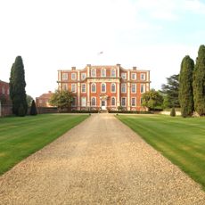
Chicheley Hall
4.9 km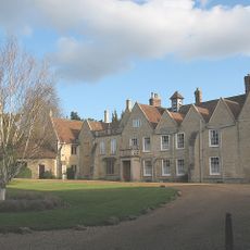
Turvey Abbey
5.1 km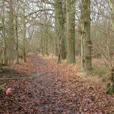
Hanger Wood
5 km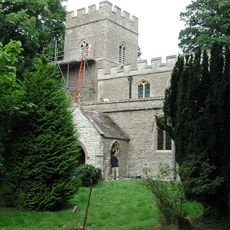
St Mary's Church, Hardmead
1.8 km
Church of St Leonard, Stagsden
3.5 km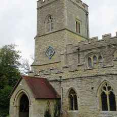
Church of St Peter
192 m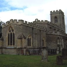
Church of St Firmin
3.7 km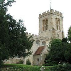
Church of St Lawrence, Chicheley
5 km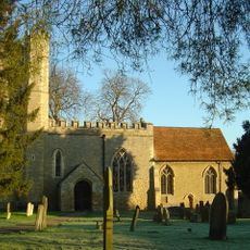
Church of St Nicholas
5 km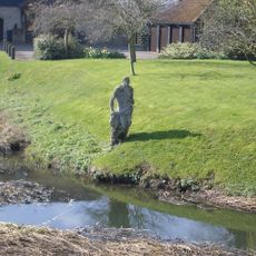
Statue of Jonah
5.2 km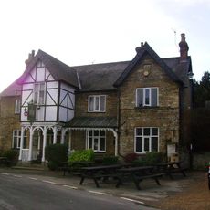
Three Cranes Public House
5.3 km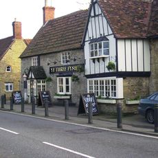
Ye Three Fyshes Inn
5.2 km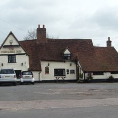
The Chequers Public House
5.1 km
Cranfield University Library
5 km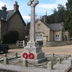
War Memorial
5.3 km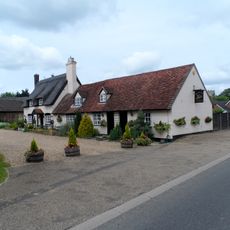
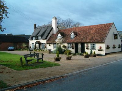
The Swan Public House
87 m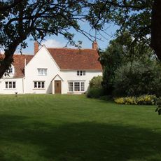
Roxhill Manor Farmhouse
4.6 km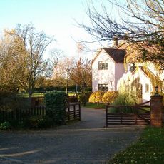
Ringtail Farmhouse
3.3 km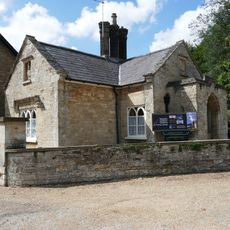
Bottom Lodge, To Turvey House
5.3 km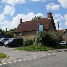
Alyncote
5.2 km
78, Bridge Street
5.2 km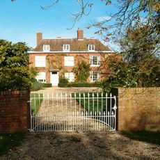
Quakers Farmhouse
2.5 km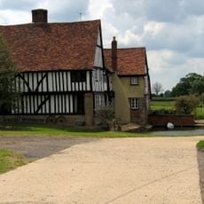
Old Moat Farmhouse
3.8 km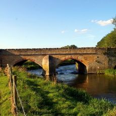
Turvey Bridge
5.3 km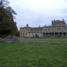
Brayfield House
5.3 km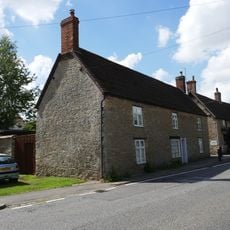
Wright
5.2 km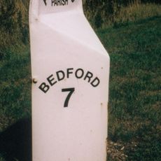
Milepost, Newport Road; at jct for Astwood village and church
264 m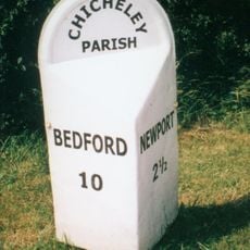
Milepost, Newport Road; NE of Chicheley Village
4.8 kmVous avez visité ce lieu ? Touchez les étoiles pour le noter et partager votre expérience ou vos photos avec la communauté ! Essayez maintenant ! Vous pouvez annuler à tout moment.
Trouvez des trésors cachés à chaque coin de rue !
Des petits cafés pittoresques aux points de vue planqués, fuyez la foule et dénichez les lieux qui vous ressemblent vraiment. Notre app vous facilite la vie : recherche vocale, filtres malins, itinéraires optimisés et bons plans partagés par des voyageurs du monde entier. Téléchargez vite pour vivre l'aventure en version mobile !

Une approche inédite de la découverte touristique❞
— Le Figaro
Tous les lieux qui valent la peine d'être explorés❞
— France Info
Une excursion sur mesure en quelques clics❞
— 20 Minutes