
Blofield, localité britannique du comté anglais de Norfolk
Emplacement : Broadland
Site web : http://parishcouncil.blofieldvillage.org.uk
Coordonnées GPS : 52.63500,1.44800
Dernière mise à jour : 9 mars 2025 à 03:58
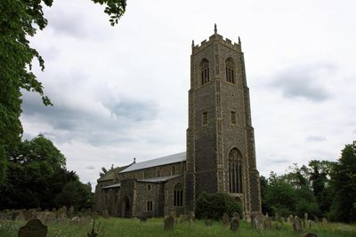
Church of St Michael
1.1 km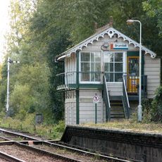
Brundall signal box
1.9 km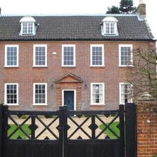
Hemblington Hall
2.3 km
Church of St Margaret
2 km
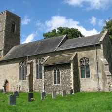
Church of St Andrew and St Peter
544 m
Church of All Saints
2.6 km
Church of St Mary
4.7 km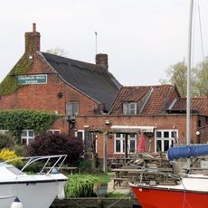
Coldham Hall Inn
2.7 km
Church of St Peter
2.7 km
Church of St Lawrence
1.8 km
Church of St Gervase and Protase
2.9 km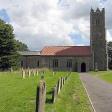
Church of St Peter
2.5 km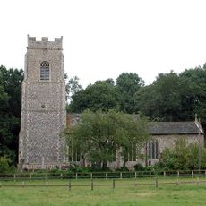
Church of St Andrew
3.1 km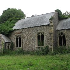
Church of St Peter
3.4 km
Church of St Mary the Virgin
3.2 km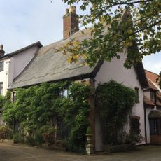
The Manor House
3.2 km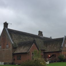
Thatched Cottage
3 km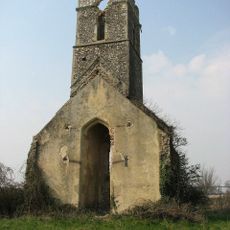
Ruined Church of All Saints
4.1 km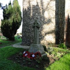
Little Plumstead War Memorial
2.9 km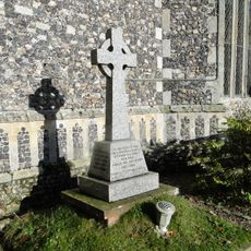
North Burlingham War Memorial Cross
3.1 km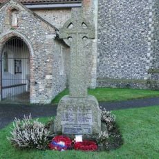
Strumpshaw War Memorial
2.5 km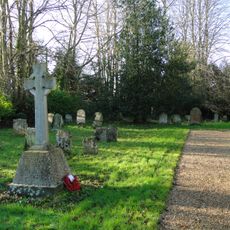
Great Plumstead War Memorial
3.2 km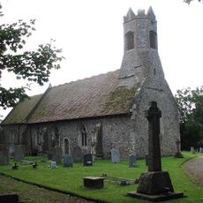
Witton War Memorial Cross
2 km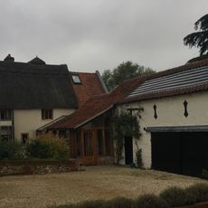
Oaklands Farmhouse
2.6 km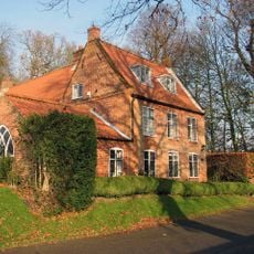
Beech House
476 m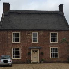
School House
3.1 km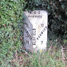
Milepost, Yarmouth Rd, by No. 133 , opp. garden centre
667 m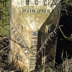
Milepost, 7 yds N of jct with A47
3.9 kmAvis
Vous avez visité ce lieu ? Touchez les étoiles pour le noter et partager votre expérience ou vos photos avec la communauté ! Essayez maintenant ! Vous pouvez annuler à tout moment.
Trouvez des trésors cachés à chaque coin de rue !
Des petits cafés pittoresques aux points de vue planqués, fuyez la foule et dénichez les lieux qui vous ressemblent vraiment. Notre app vous facilite la vie : recherche vocale, filtres malins, itinéraires optimisés et bons plans partagés par des voyageurs du monde entier. Téléchargez vite pour vivre l'aventure en version mobile !

Une approche inédite de la découverte touristique❞
— Le Figaro
Tous les lieux qui valent la peine d'être explorés❞
— France Info
Une excursion sur mesure en quelques clics❞
— 20 Minutes