
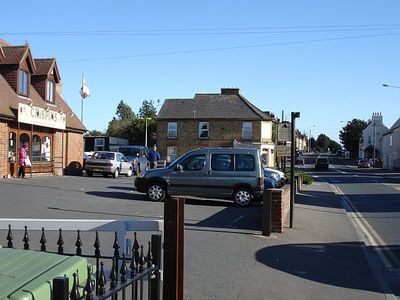
Teynham, village and civil parish in Kent, UK
Emplacement : Borough of Swale
Coordonnées GPS : 51.34263,0.81800
Dernière mise à jour : 3 mars 2025 à 04:42
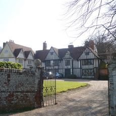
Provender
3.5 km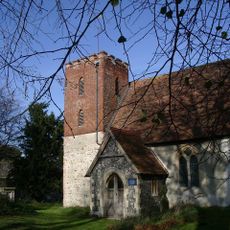
St Mary's Church, Luddenham
3 km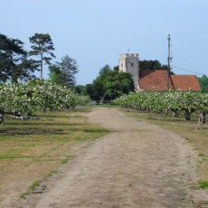
Church of St Mary
3.1 km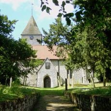
Church of St Peter and St Paul, Lynsted
3.9 km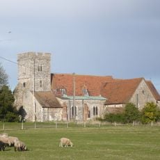
Church of St Mary
584 m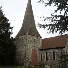
Church of St Lawrence
3.8 km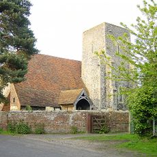
Church of St Giles
2.9 km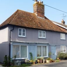
17, Church Road
4.4 km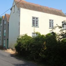
Church House
4.4 km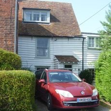
9, Church Road
4.4 km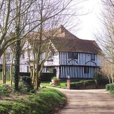
Lynsted Court
4.2 km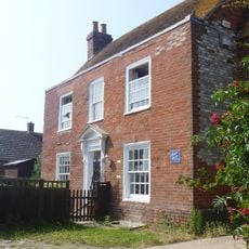
Mount House
4.4 km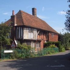
Banks Farm Cottage Banks Farmhouse
415 m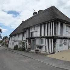
Tudor Cottage
2.2 km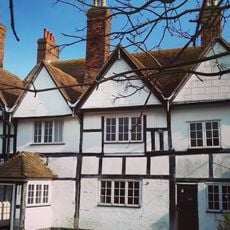
Frognal Farmhouse And Garden Wall
1.7 km
Little Murston Farmhouse
3.4 km
Deerton Street Farmhouse
1.4 km
Hawkes And Beetles Farmhouse
2.6 km
Oare gunpowder works
4.3 km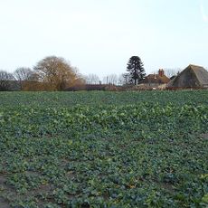
Nash's Farmhouse
3.8 km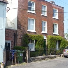
Homeside With Railings To Forecourt
4.4 km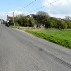
Barn 50 Yards West Of Frognal Farmhouse
1.8 km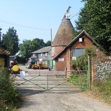
Oasts 20 Metres East Of Luddenham Court
3 km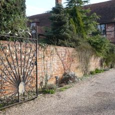
Bogle
3.2 km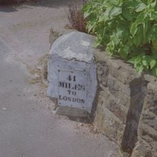
Milestone, Canterbury Road, by No. 201 "The Milestone"
4 km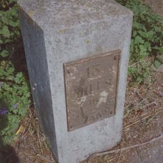
Milestone, London Road, Radfield, E of public footpath
2.6 km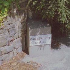
Milestone, London Road, opp. Cellar Hill, by No. 3
2 km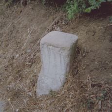
Milestone, Beacon Hill, 20m from summit
3.6 kmVous avez visité ce lieu ? Touchez les étoiles pour le noter et partager votre expérience ou vos photos avec la communauté ! Essayez maintenant ! Vous pouvez annuler à tout moment.
Trouvez des trésors cachés à chaque coin de rue !
Des petits cafés pittoresques aux points de vue planqués, fuyez la foule et dénichez les lieux qui vous ressemblent vraiment. Notre app vous facilite la vie : recherche vocale, filtres malins, itinéraires optimisés et bons plans partagés par des voyageurs du monde entier. Téléchargez vite pour vivre l'aventure en version mobile !

Une approche inédite de la découverte touristique❞
— Le Figaro
Tous les lieux qui valent la peine d'être explorés❞
— France Info
Une excursion sur mesure en quelques clics❞
— 20 Minutes