
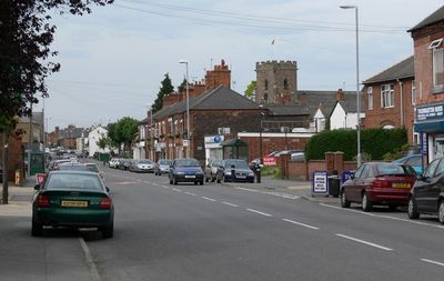
Thurmaston, localité britannique du comté anglais de Leicestershire
Emplacement : Charnwood
Partage une frontière avec : Barkby Thorpe
Coordonnées GPS : 52.67528,-1.09926
Dernière mise à jour : 7 mars 2025 à 03:12

Towers Hospital Blocks 29, 30, 36, 37, 38, 39, 40, And 41
2.9 km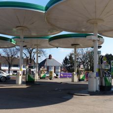
Red Hill filling station
2.2 km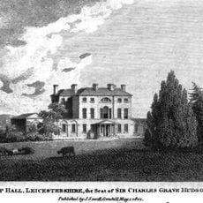
Wanlip Hall
2.2 km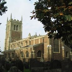
St Peter & St Paul, Syston
3.3 km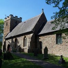
Church of Saint James the Great
1.4 km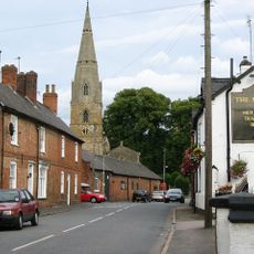
St Mary's Church, Barkby
2.8 km
Gipsy Lane Pit
2.1 km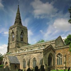
Parish Church of St Mary
3.4 km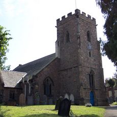
Church of St Michael
360 m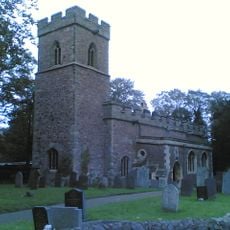
Church of St Nicholas
2.1 km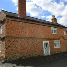
7, Lower Church Street
3.3 km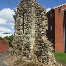
Remains of old chapel
742 m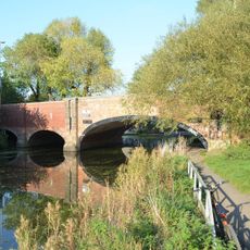
New Bridge
2.3 km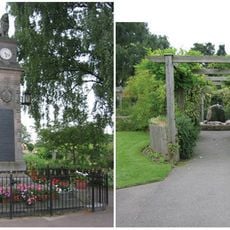
Syston War Memorial Clock Tower
2.8 km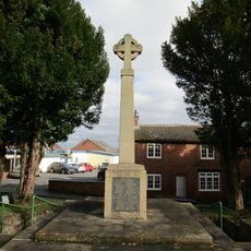
Birstall War Memorial
1.3 km
The Cottage, School Lane
1.5 km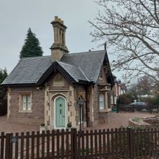
Goscote Lodge
1.9 km
The White House Farm
2.6 km
10, The Green
3.2 km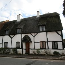
Forge Cottage
1.5 km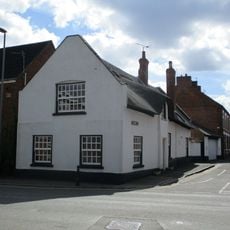
33, High Street
3.2 km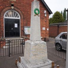
Thurmaston War Memorial
298 m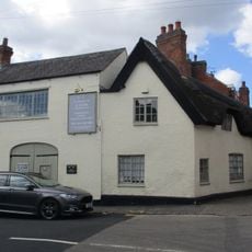
57, High Street
3.2 km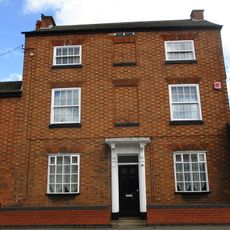
11, Barkby Road
3.2 km
2, Bath Street
3.2 km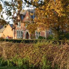
Barkby Grange Farmhouse
3.7 km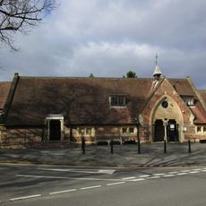
School
1.5 km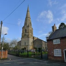
Numbers 2 To 6 (Even) And Barn
2.7 kmAvis
Vous avez visité ce lieu ? Touchez les étoiles pour le noter et partager votre expérience ou vos photos avec la communauté ! Essayez maintenant ! Vous pouvez annuler à tout moment.
Trouvez des trésors cachés à chaque coin de rue !
Des petits cafés pittoresques aux points de vue planqués, fuyez la foule et dénichez les lieux qui vous ressemblent vraiment. Notre app vous facilite la vie : recherche vocale, filtres malins, itinéraires optimisés et bons plans partagés par des voyageurs du monde entier. Téléchargez vite pour vivre l'aventure en version mobile !

Une approche inédite de la découverte touristique❞
— Le Figaro
Tous les lieux qui valent la peine d'être explorés❞
— France Info
Une excursion sur mesure en quelques clics❞
— 20 Minutes