
Stondon, village and civil parish in Bedfordshire, UK
Emplacement : Central Bedfordshire
Coordonnées GPS : 51.99673,-0.31337
Dernière mise à jour : 4 mars 2025 à 14:18
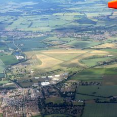
RAF Henlow
2.2 km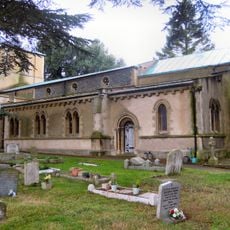
Church of St Katherine
3.7 kmOughtonhead Common
4.1 km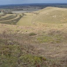
Knocking Hoe
4.7 km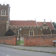
Parish Church of All Saints, Campton
4.6 km
Oughtonhead Nature Reserve
4.2 km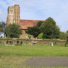
St Mary's Church, Lower Gravenhurst
4.9 km
Arlesey Old Moat and Glebe Meadows
4.1 km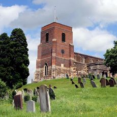
Church of All Saints
3.6 km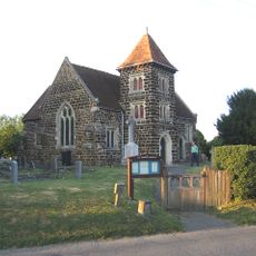
Church of All Saints
1.4 km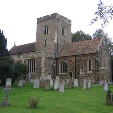
Church of St Mary the Virgin
2.8 km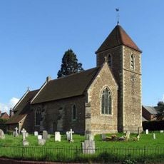
Church of St Peter (C of E) at Corner with Holwell Road
1.3 km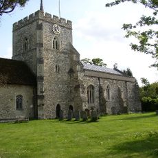
Church of St Mary (Church of England)
3.1 km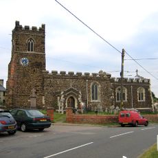
Parish Church of Saint Giles
4.8 km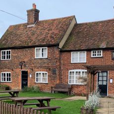
The Fox Inn
2.9 km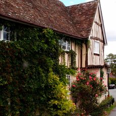
42, Church Street
3.5 km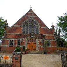
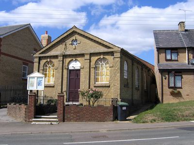
Pirton Methodist Church
3 km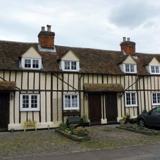
14, 14A, 16 And 16A, Church Street
3.3 km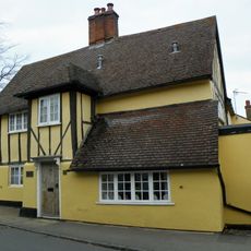
The Five Bells Public House
3.4 km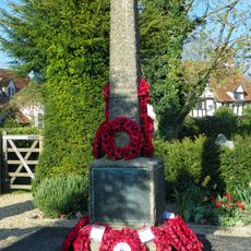
Pirton War Memorial, Hertfordshire
3 km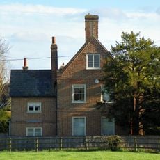
Walnut Tree Farmhouse
3.2 km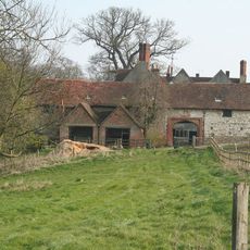
High Down House With Buildings And Walls Around Courtyard On North Side
4.2 km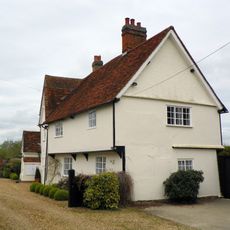
Church Farmhouse
1.3 km
Cadwell Farmhouse
3.7 km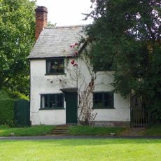
Three Gables
3.3 km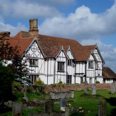
Manor House
2.8 km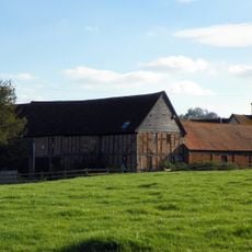
Farmbuildings Fronting Road At Walnut Tree Farm
3.2 km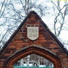
Gateway And Frontage Wall To Ickleford Jmi School
3.7 kmVous avez visité ce lieu ? Touchez les étoiles pour le noter et partager votre expérience ou vos photos avec la communauté ! Essayez maintenant ! Vous pouvez annuler à tout moment.
Trouvez des trésors cachés à chaque coin de rue !
Des petits cafés pittoresques aux points de vue planqués, fuyez la foule et dénichez les lieux qui vous ressemblent vraiment. Notre app vous facilite la vie : recherche vocale, filtres malins, itinéraires optimisés et bons plans partagés par des voyageurs du monde entier. Téléchargez vite pour vivre l'aventure en version mobile !

Une approche inédite de la découverte touristique❞
— Le Figaro
Tous les lieux qui valent la peine d'être explorés❞
— France Info
Une excursion sur mesure en quelques clics❞
— 20 Minutes