
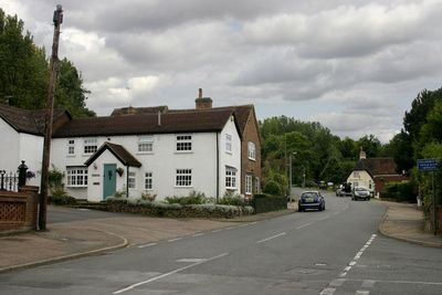
Lidlington, village and civil parish in Central Bedfordshire, England
Emplacement : Central Bedfordshire
Coordonnées GPS : 52.04020,-0.55802
Dernière mise à jour : 12 mars 2025 à 09:26

Woburn Safari Park
4.5 km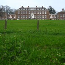
Ampthill Park
3.6 km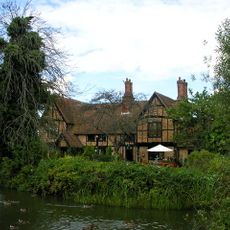
Moreteyne Manor
2.4 km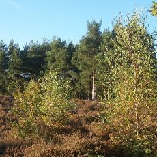
Cooper's Hill
4.1 km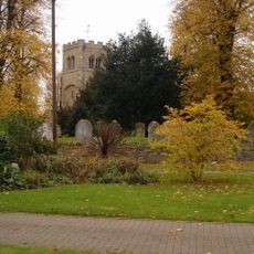
Church of St Peter & St Paul, Cranfield
4.6 km
Marston Thrift
3.2 km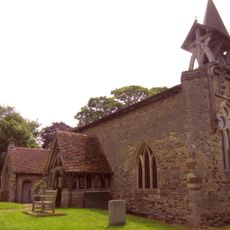
Church of St Mary the Virgin, Salford, Bedfordshire
5.4 km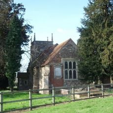
Church of St Nicholas, Hulcote, Bedfordshire
4.6 km
Parish Church of St James
4.4 km
Church of St Botolph
5.5 km
Church of St Michael, Millbrook
2.4 km
Old Church of All Saints
3.3 km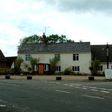
The French Horn
4.1 km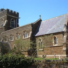
Church of St Lawrence
4.1 km
Parish Church of All Saints
3.2 km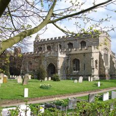
Parish Church of St Mary the Virgin
2.3 km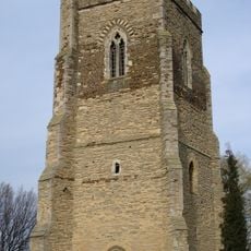
Tower Belonging To Church Of St Mary The Virgin
2.3 km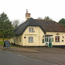
The Green Man Public House
151 m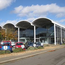
Cranfield University Library
6 km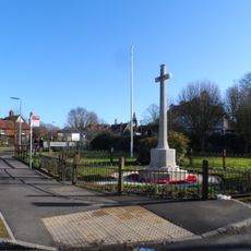
Cranfield War Memorial
4.7 km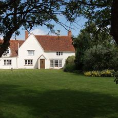
Roxhill Manor Farmhouse
4.6 km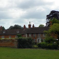
Froxfield House
5.8 km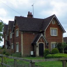
Numbers 1 To 3 And Detached Outhouses To Rear
5 km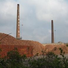
Two Kilns And Four Chimneys At The Stewartby Brickworks
4.6 km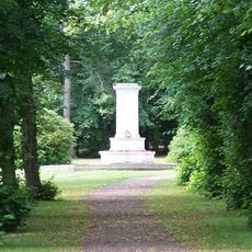
The Alemeda Memorial, Ampthill
4.1 km
Ridgmont Water Tower South South East Of All Saints' Church
3.3 km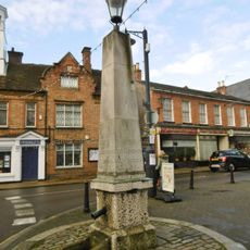
Pump and signpost in Market Place
4.6 km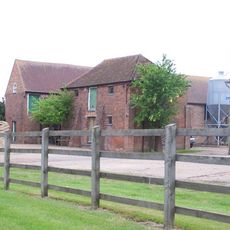
Wood Farmhouse
5.3 kmAvis
Vous avez visité ce lieu ? Touchez les étoiles pour le noter et partager votre expérience ou vos photos avec la communauté ! Essayez maintenant ! Vous pouvez annuler à tout moment.
Trouvez des trésors cachés à chaque coin de rue !
Des petits cafés pittoresques aux points de vue planqués, fuyez la foule et dénichez les lieux qui vous ressemblent vraiment. Notre app vous facilite la vie : recherche vocale, filtres malins, itinéraires optimisés et bons plans partagés par des voyageurs du monde entier. Téléchargez vite pour vivre l'aventure en version mobile !

Une approche inédite de la découverte touristique❞
— Le Figaro
Tous les lieux qui valent la peine d'être explorés❞
— France Info
Une excursion sur mesure en quelques clics❞
— 20 Minutes