
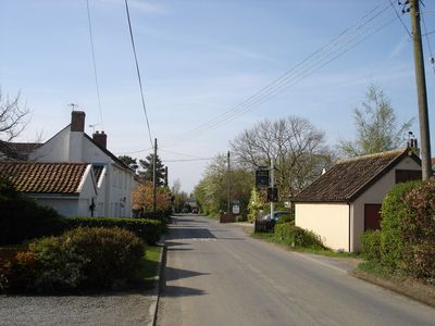
Swilland, village and civil parish in Suffolk, UK
Emplacement : East Suffolk
Coordonnées GPS : 52.13127,1.19660
Dernière mise à jour : 15 mars 2025 à 22:33
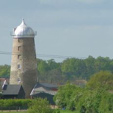
Burgh Windmill
4.4 km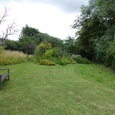
Brooke House Nature Reserve
1.5 km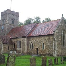
Church of St Peter
3.4 km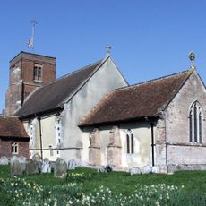
Church of All Saints
2.5 km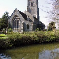
Church of St Mary the Virgin
2.5 km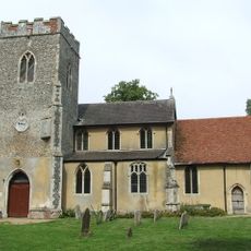
Church of St Mary
2.2 km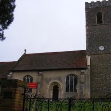
Church of St Martin
4.5 km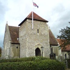
Church of St Botolph
4.4 km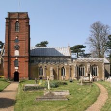
Church of St Mary
3.9 km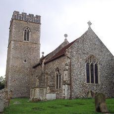
Church of St Botolph
3.5 km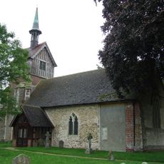
Church of St Mary
108 m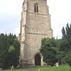
Church of St Mary
3.2 km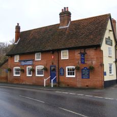
The Fountain Inn, Tuddenham
4.4 km
Culpho Hall
4.7 km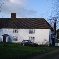
Swilland Hall
93 m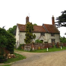
Newton Hall
1.3 km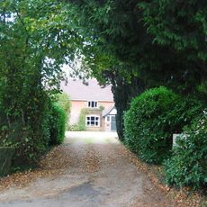
Culpho Manor
4.3 km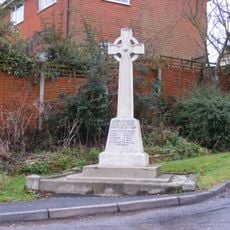
Witnesham War Memorial
2.8 km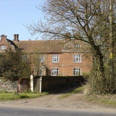
Westerfield Hall
4.7 km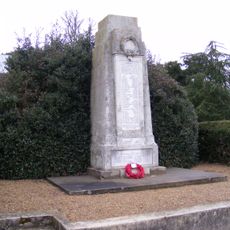
Grundisburgh Cenotaph
4 km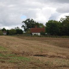
Akenham Hall
4.5 km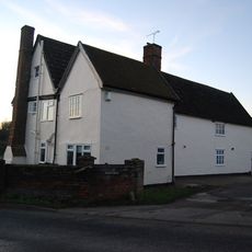
Manor Farmhouse
4.3 km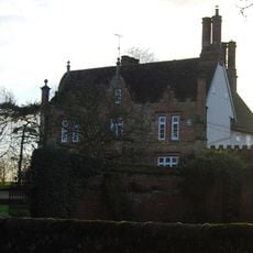
Witnesham Hall
2.4 km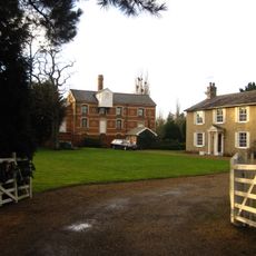
The Mill House
988 m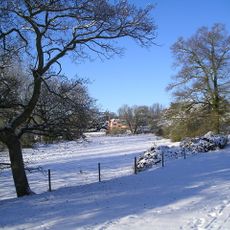
Grundisburgh Hall
4.5 km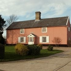
Coppings Farmhouse
2.1 km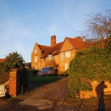
Red House
2.7 km
Abbey Farmhouse
4.1 kmVous avez visité ce lieu ? Touchez les étoiles pour le noter et partager votre expérience ou vos photos avec la communauté ! Essayez maintenant ! Vous pouvez annuler à tout moment.
Trouvez des trésors cachés à chaque coin de rue !
Des petits cafés pittoresques aux points de vue planqués, fuyez la foule et dénichez les lieux qui vous ressemblent vraiment. Notre app vous facilite la vie : recherche vocale, filtres malins, itinéraires optimisés et bons plans partagés par des voyageurs du monde entier. Téléchargez vite pour vivre l'aventure en version mobile !

Une approche inédite de la découverte touristique❞
— Le Figaro
Tous les lieux qui valent la peine d'être explorés❞
— France Info
Une excursion sur mesure en quelques clics❞
— 20 Minutes