
Warleggan, hamlet and civil parish on the southern edge of Bodmin Moor in Cornwall, England
Emplacement : Cornwall
Coordonnées GPS : 50.49100,-4.60000
Dernière mise à jour : 16 mars 2025 à 22:16
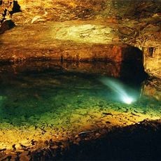
Carnglaze Caverns
3.7 km
Church of St Meubred
3.4 km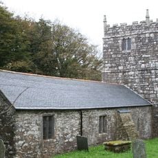
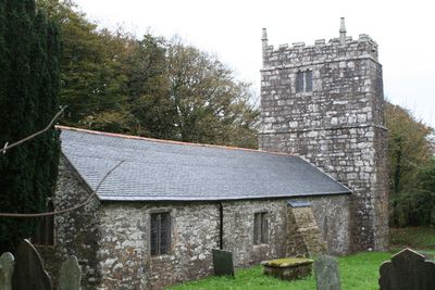
Church of St Bartholomew
183 m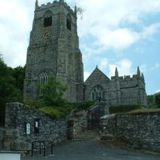
Church of St Anietus
3.1 km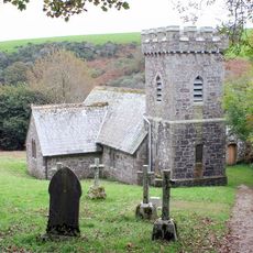
Church of St Catherine
4.5 km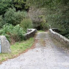
Panters Bridge
926 m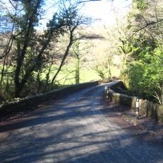
New Bridge
4.7 km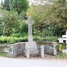
Mount War Memorial, Warleggan, Cornwall
1.3 km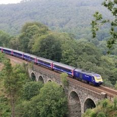
Clinnick Viaduct
3.9 km
Wheal Glynn
4.8 km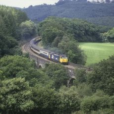
Penadlake Viaduct
4.5 km
Treslea Cross
2.6 km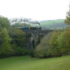
Derricombe Viaduct
3.8 km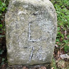
Milestone Sw Of Bellasize Farm (Ngr Sx1371165156)
4.2 km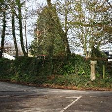
Medieval wayside cross at Wenmouth Cross, 320m north of Wenmouth
4.1 km
Accommodation Bridge 12 Metres South Of Wainsford
3.9 km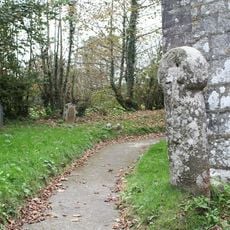
Wayside cross in St Bartholomew's churchyard
173 m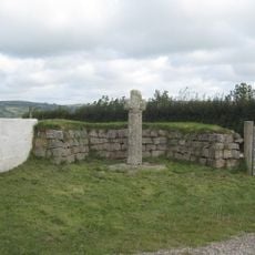
Tredinnick Cross, 450m east of Great Tredinnick
2.9 km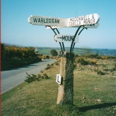
Guidepost At Sx 135682
2.2 km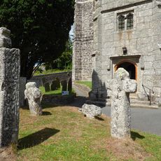
Churchyard cross and three wayside crosses in St Neot churchyard
3.1 km
Milestone At Sx 167649
4.1 km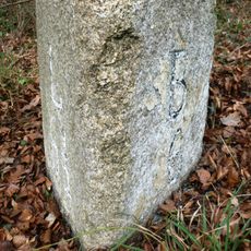
Milestone Ne Of Higher Wainsford Cottage (Ngr Sx1530565201)
3.7 km
Guidepost At Sx 130688
2.6 km
Guidepost At Sx 126675
3.2 km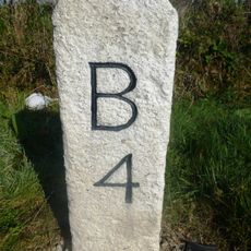
Milestone To East Of Glenavon
4.8 km
Bury Castle
2.3 km
Churchyard cross in Cardinham churchyard, 5m south of the church
3.4 km
Guidestone, Milltown
4.1 kmVous avez visité ce lieu ? Touchez les étoiles pour le noter et partager votre expérience ou vos photos avec la communauté ! Essayez maintenant ! Vous pouvez annuler à tout moment.
Trouvez des trésors cachés à chaque coin de rue !
Des petits cafés pittoresques aux points de vue planqués, fuyez la foule et dénichez les lieux qui vous ressemblent vraiment. Notre app vous facilite la vie : recherche vocale, filtres malins, itinéraires optimisés et bons plans partagés par des voyageurs du monde entier. Téléchargez vite pour vivre l'aventure en version mobile !

Une approche inédite de la découverte touristique❞
— Le Figaro
Tous les lieux qui valent la peine d'être explorés❞
— France Info
Une excursion sur mesure en quelques clics❞
— 20 Minutes