
Mosterton, village britannique
Emplacement : Dorset
Coordonnées GPS : 50.85000,-2.76667
Dernière mise à jour : 10 avril 2025 à 18:37
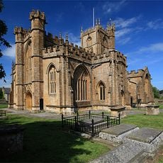
Church of St Bartholomew, Crewkerne
3.9 km
Christ Church, Crewkerne
4.1 km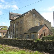
Clapton Mill
4.8 km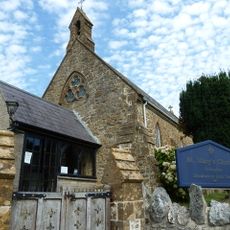
St Mary's Church, Drimpton
4.2 km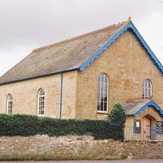
Netherhay Methodist Chapel
4.7 km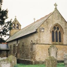
Church of St John
3.1 km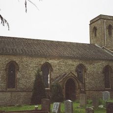
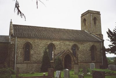
Church of St Mary
513 m
St Jamess Church
2.8 km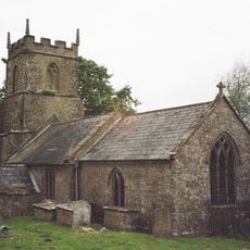
Parish Church of St Andrew
4.9 km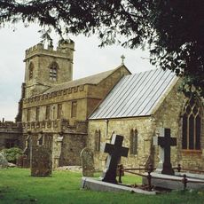
Parish Church of St John the Baptist
4 km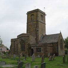
Church of St Mary
1.3 km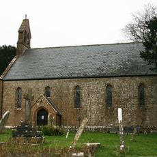
Church of St Leonard
2.4 km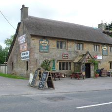
The Admiral Hood
489 m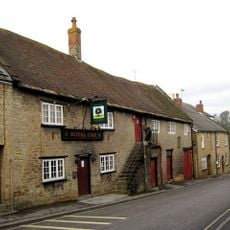
Royal Oak Public House
4.1 km
The Thatched Farmhouse
2.5 km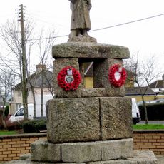
Crewkerne War Memorial
3.8 km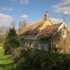
Cottage Farmhouse
3.4 km
Cottage, Coach House And Stable 15 Metres West Of The Old Rectory
1.5 km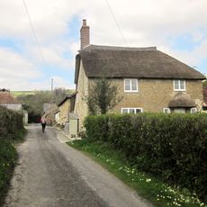
Cottage, 60 Metres South Of Chantry Farmhouse
3.7 km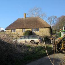
Higher Farmhouse
3.3 km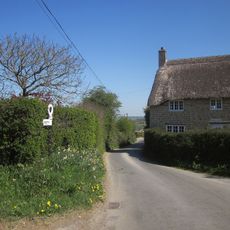
Littlewindsor Farmhouse
2.7 km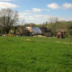
Buckham Mill
1.4 km
Sarum
1.5 km
Lower Farmhouse
2.6 km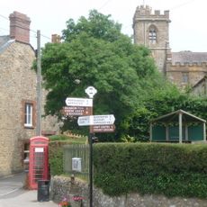
K6 Telephone Kiosk, Church Path
4.1 km
Seaborough Court
3.3 km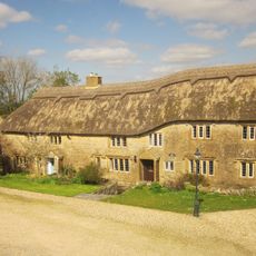
South Dibberford Farmhouse
2.2 km
Milestone, near Folly Farm
3.8 kmAvis
Vous avez visité ce lieu ? Touchez les étoiles pour le noter et partager votre expérience ou vos photos avec la communauté ! Essayez maintenant ! Vous pouvez annuler à tout moment.
Trouvez des trésors cachés à chaque coin de rue !
Des petits cafés pittoresques aux points de vue planqués, fuyez la foule et dénichez les lieux qui vous ressemblent vraiment. Notre app vous facilite la vie : recherche vocale, filtres malins, itinéraires optimisés et bons plans partagés par des voyageurs du monde entier. Téléchargez vite pour vivre l'aventure en version mobile !

Une approche inédite de la découverte touristique❞
— Le Figaro
Tous les lieux qui valent la peine d'être explorés❞
— France Info
Une excursion sur mesure en quelques clics❞
— 20 Minutes