
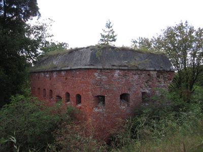
Water dam and bunkers in Samborowo
Emplacement : Samborowo
Création : 1902
Coordonnées GPS : 53.67180,19.80930
Dernière mise à jour : 2 mars 2025 à 22:39
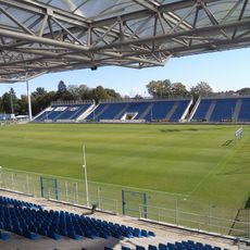
Ostróda Stadium
10.1 km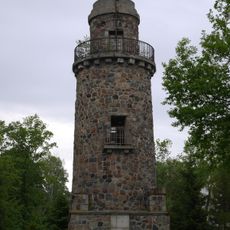
Bismark tower in Ostróda
9.9 km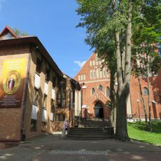
Church of the Immaculate Conception in Ostróda
10.5 km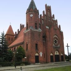
Saint Bartholomew church in Miłomłyn
10.3 km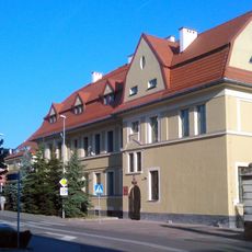
Wojskowa Komenda Uzupełnień w Ostródzie
10.6 km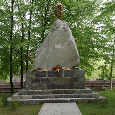
Pomnik - obelisk mieszkańców poległych w I wojnie światowej
6.6 km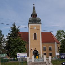
Holy Trinity church in Frednowy
8.1 km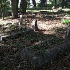
Evangelical cemetery in Wirwajdy
3.1 km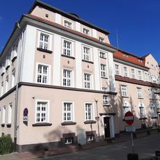
Gmina office in Ostróda
10.6 km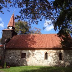
Immaculate Conception church in Ornowo
8.6 km
Pieniężnego 11 (I-II)
10.1 km
Zespół pałacowo-folwarczny w Karnitach
9.9 km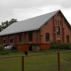
Ujeżdżalnia
9.9 km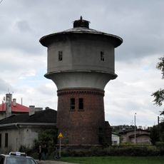
Railway water tower in Ostróda
7.9 km
7 Mickiewicza Street in Ostróda
10.5 km
11 Listopada 6
10.3 km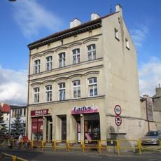
2 Mickiewicza Street in Ostróda
10.5 km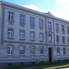
11 Listopada 41
9.6 km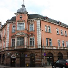
9 Mickiewicza Street in Ostróda
10.5 km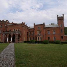
Palace in Karnity
9.9 km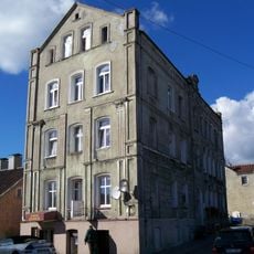
Spichrzowa 1
10.2 km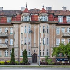
4 Jana Pawła II Street in Ostróda
10.4 km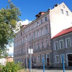
Słowackiego 9
10.1 km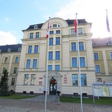
Powiat office in Ostróda
10.4 km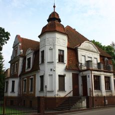
Czarnieckiego 18, Ostróda
10.5 km
11 Mickiewicza Street in Ostróda
10.5 km
11 Listopada 35
9.8 km
Szkoła, ob. dom nr 29
3.2 kmAvis
Vous avez visité ce lieu ? Touchez les étoiles pour le noter et partager votre expérience ou vos photos avec la communauté ! Essayez maintenant ! Vous pouvez annuler à tout moment.
Trouvez des trésors cachés à chaque coin de rue !
Des petits cafés pittoresques aux points de vue planqués, fuyez la foule et dénichez les lieux qui vous ressemblent vraiment. Notre app vous facilite la vie : recherche vocale, filtres malins, itinéraires optimisés et bons plans partagés par des voyageurs du monde entier. Téléchargez vite pour vivre l'aventure en version mobile !

Une approche inédite de la découverte touristique❞
— Le Figaro
Tous les lieux qui valent la peine d'être explorés❞
— France Info
Une excursion sur mesure en quelques clics❞
— 20 Minutes