
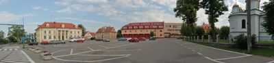
Układ urbanistyczny, XVII/XVIII
Emplacement : Sokółka
Coordonnées GPS : 53.40756,23.49695
Dernière mise à jour : 5 mars 2025 à 02:48
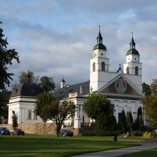
Saint Anthony of Padua church in Sokółka
466 m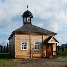
Bohoniki Mosque
6.6 km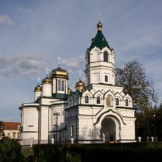
Saint Alexander Nevsky Orthodox church in Sokółka
310 m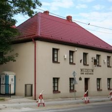
Muzeum Ziemi Sokólskiej
162 m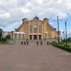
Corpus Christi church in Sokółka
2 km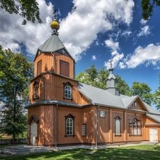
Orthodox church in Samogród
13.6 km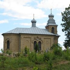
Orthodox cemetery chapel in Sokółka
779 m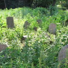
Jewish cemetery in Sokółka
612 m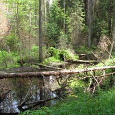
Nature reserve Międzyrzecze
14.9 km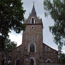
Our Lady of Częstochowa and Saint Casimir church in Majewo Kościelne
14.3 km
Kościół św. Antoniego w Sokółce
466 m
Nature reserve Budzisk
12.7 km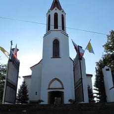
Kościół Najświętszego Serca Jezusowego w Starej Rozedrance
11.3 km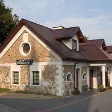
Budynek gospodarczy
522 m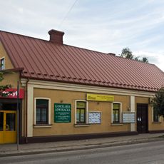
Grodzieńska 10
242 m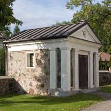
Kaplica w Sokółce
440 m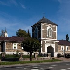
Budynek bramny
507 m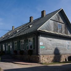
Plebania, tzw. STARA
517 m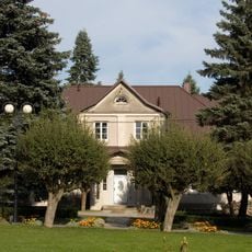
Plebania, tzw. NOWA
527 m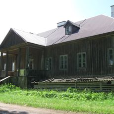
Dwór
11.7 km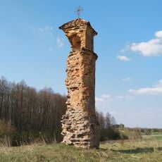
Boundary marker in Wołkusze
10 km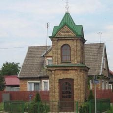
Thanksgiving Chapel in Sokółka
1.1 km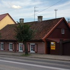
Grodzieńska 8
239 m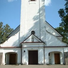
Holy Trinity and Saint Dominic church in Klimówka
13.1 km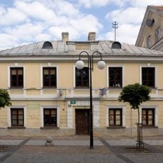
Dom, XVIII/XIX
199 m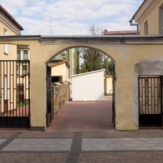
Mur z bramą, XVIII/XIX
209 m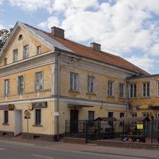
1 Piłsudskiego Street in Sokółka
171 m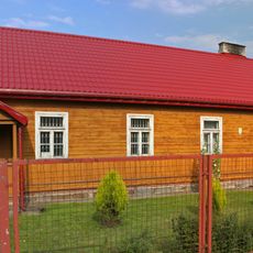
Plebania prawosławna, XIX/XX
135 mVous avez visité ce lieu ? Touchez les étoiles pour le noter et partager votre expérience ou vos photos avec la communauté ! Essayez maintenant ! Vous pouvez annuler à tout moment.
Trouvez des trésors cachés à chaque coin de rue !
Des petits cafés pittoresques aux points de vue planqués, fuyez la foule et dénichez les lieux qui vous ressemblent vraiment. Notre app vous facilite la vie : recherche vocale, filtres malins, itinéraires optimisés et bons plans partagés par des voyageurs du monde entier. Téléchargez vite pour vivre l'aventure en version mobile !

Une approche inédite de la découverte touristique❞
— Le Figaro
Tous les lieux qui valent la peine d'être explorés❞
— France Info
Une excursion sur mesure en quelques clics❞
— 20 Minutes