Park dworski, park in Knyszyn, Poland
Emplacement : Knyszyn
Création : 16e siècle
Coordonnées GPS : 53.29527,22.89532
Dernière mise à jour : 27 octobre 2025 à 10:58
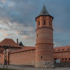
Tykocin Castle
12.3 km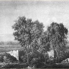
Tapestries in Poland
2.7 km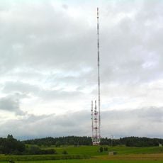
RTCN Białystok
11 km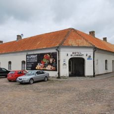
Hotel Alumnat in Tykocin
12.6 km
MSM Mońki
12.5 km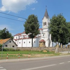
Collegiate Church of the Nativity of the Blessed Virgin Mary in Krypno
2.3 km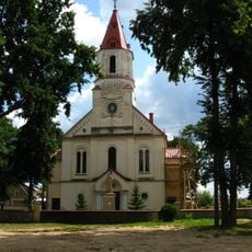
Church of St. John the Apostle and Evangelist
2.3 km
Nature reserve Wielki Las
12.2 km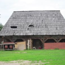
Lamus in Knyszyn
2.3 km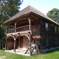
Store in Kalinówka Kościelna
10.6 km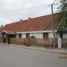
6 Kościelna Street in Knyszyn
2.4 km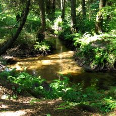
Nature reserve Kulikówka
5.9 km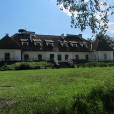
8, 11 Listopada Street in Tykocin
12.4 km
Hospital in Knyszyn
3.3 km
Saint Anne church in Kalinówka Kościelna
10.6 km
Dwór w Sikorach
11 km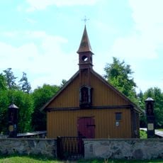
Wayside chapel in Pogorzałki
9.6 km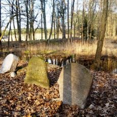
Jewish cemetery in Knyszyn
3.6 km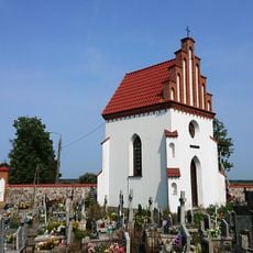
Gloger family chapel in Tykocin
12.1 km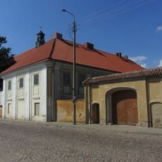
Brama (przy plebanii)
12.6 km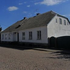
Ulica 11 Listopada 11
12.6 km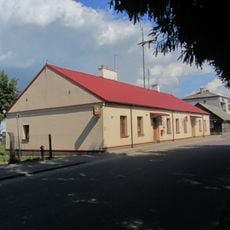
36, 11 Listopada Street in Tykocin
12.2 km
4, 11 Listopada Street in Tykocin
12.5 km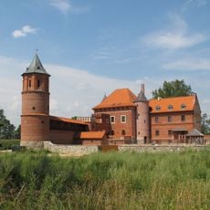
Zespół zamku, przed 1469
12.4 km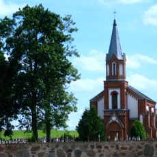
Roman Catholic Cemetery in Tykocin
12.2 km
Cmentarz żydowski
3.6 km
Park poddworski
320 m
Biedronki
12.4 kmAvis
Vous avez visité ce lieu ? Touchez les étoiles pour le noter et partager votre expérience ou vos photos avec la communauté ! Essayez maintenant ! Vous pouvez annuler à tout moment.
Trouvez des trésors cachés à chaque coin de rue !
Des petits cafés pittoresques aux points de vue planqués, fuyez la foule et dénichez les lieux qui vous ressemblent vraiment. Notre app vous facilite la vie : recherche vocale, filtres malins, itinéraires optimisés et bons plans partagés par des voyageurs du monde entier. Téléchargez vite pour vivre l'aventure en version mobile !

Une approche inédite de la découverte touristique❞
— Le Figaro
Tous les lieux qui valent la peine d'être explorés❞
— France Info
Une excursion sur mesure en quelques clics❞
— 20 Minutes