
Lubiatów, village de Pologne, Złotoryja
Emplacement : Gmina Złotoryja
Coordonnées GPS : 51.20500,16.03000
Dernière mise à jour : 11 avril 2025 à 14:29
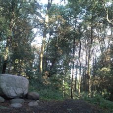
Lasek Złotoryjski
7.2 km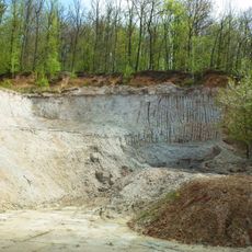
Halloysite Mine in Dunino
7.3 km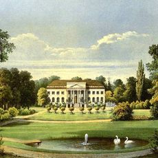
Schloss Panthenau
3.4 km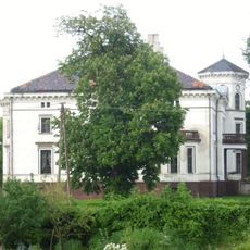
Palace in Lubiatów
97 m
Palace in Czerwony Kościół
2.9 km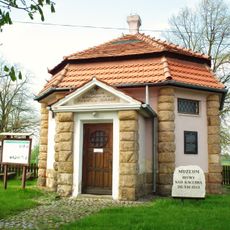
Museum of Kaczawa Battle
6.7 km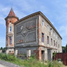
Pałac w Lipcach
5.5 km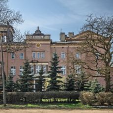
Palace in Jakuszów
7.4 km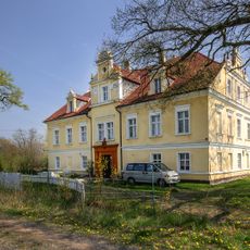
Palace in Pątnówek
6.8 km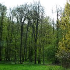
Grodzisko w Duninie
8.1 km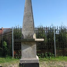
Kolumna Łez
5.8 km
Manor in Gierałtowiec
4 km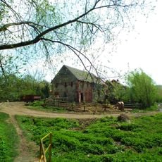
Święciany, Lower Silesian Voivodeship
7.5 km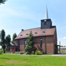
Immaculate Conception church in Miłkowice
6 km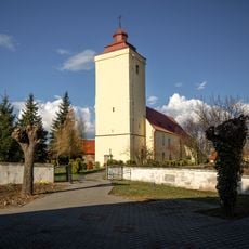
Kościół Wniebowzięcia Najświętszej Maryi Panny w Krotoszycach
6.5 km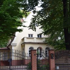
Willa
8.3 km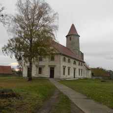
Saint Casimir and Our Lady of the Gate of Dawn church in Studnica
4.1 km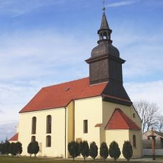
Church of the Nativity of the Virgin Mary in Czerwony Kościół
3.2 km
Church of the Assumption of the Holy Virgin Mary in Krotoszyce
6.5 km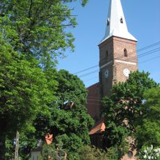
Church of the Assumption in Ulesie
5.5 km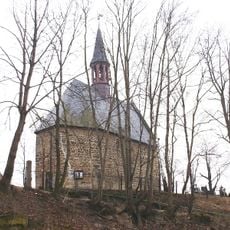
Kościół św. Jadwigi w Wysocku
7.4 km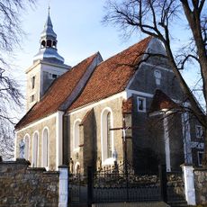
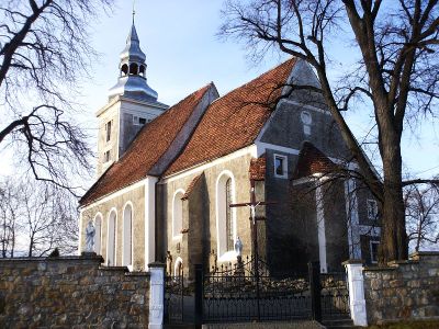
Sacred Heart church in Lubiatów
19 m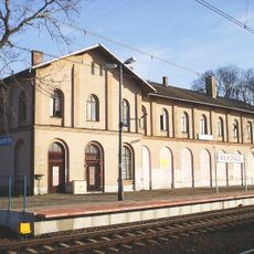
Main building of the train station in Miłkowice
5.9 km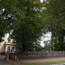
Zespół willi
8.3 km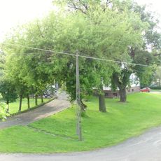
Zespół pałacowy
134 m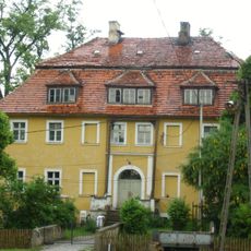
Dwór w Kwiatowie
2 km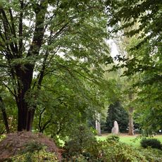
Ogród
8.3 km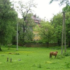
Zespół dworski i folwarczny w Kwiatowie
2 kmAvis
Vous avez visité ce lieu ? Touchez les étoiles pour le noter et partager votre expérience ou vos photos avec la communauté ! Essayez maintenant ! Vous pouvez annuler à tout moment.
Trouvez des trésors cachés à chaque coin de rue !
Des petits cafés pittoresques aux points de vue planqués, fuyez la foule et dénichez les lieux qui vous ressemblent vraiment. Notre app vous facilite la vie : recherche vocale, filtres malins, itinéraires optimisés et bons plans partagés par des voyageurs du monde entier. Téléchargez vite pour vivre l'aventure en version mobile !

Une approche inédite de la découverte touristique❞
— Le Figaro
Tous les lieux qui valent la peine d'être explorés❞
— France Info
Une excursion sur mesure en quelques clics❞
— 20 Minutes