
Małuszów, village de Pologne
Emplacement : Gmina Sulęcin
Coordonnées GPS : 52.36670,15.13330
Dernière mise à jour : 6 mars 2025 à 06:34


Majaland Kownaty
4 km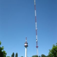
Jemiołów Transmitter
10.1 km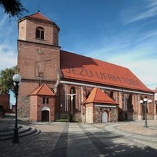
Kościół św. Mikołaja w Sulęcinie
8.5 km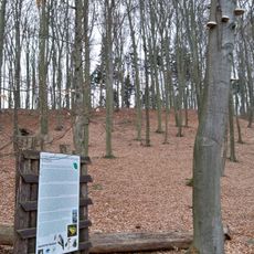
Nature reserve Nad Jeziorem Trześniowskim
10.4 km
Cerkiew św. Michała Archanioła w Torzymiu
6.4 km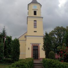
Exaltation of the Holy Cross in Torzym
6.7 km
Malcz Południowy
6.9 km
Malcz Północny
6 km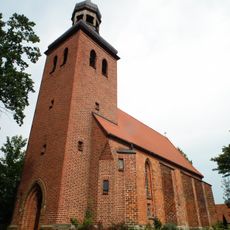
Kościół Narodzenia Najświętszej Marii Panny w Ostrowie
6.4 km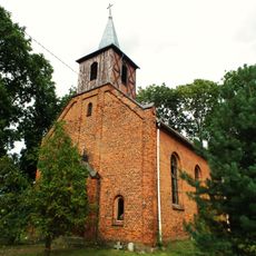
Saint Andrew Bobola church in Małuszów
806 m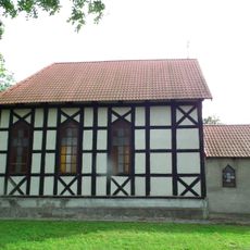
Our Lady of Częstochowa church in Grabów
1.8 km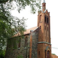
Kościół św. Stanisława Biskupa w Tursku
3.2 km
Exaltation of the Holy Cross church in Bobrówko
8.4 km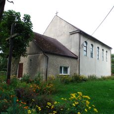
Kościół św. Antoniego Padewskiego w Prześlicach
4.9 km
Skansen Jemiołów
9.5 km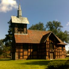
Annunciation church in Poźrzadło
10.8 km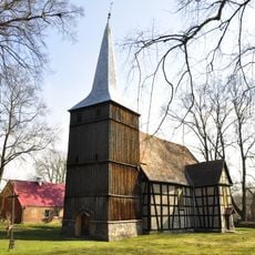
Church of Saint Mary in Pniów
9.2 km
Saint Nicholas church in Sulęcin
8.5 km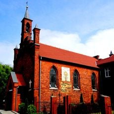
Kościół św. Henryka 1862
8.7 km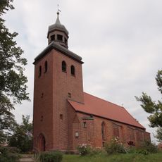
Church of the Nativity of the Virgin Mary in Ostrów
6.4 km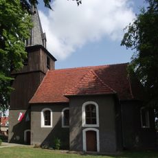
Saint Anthony church in Brzeźno
7.8 km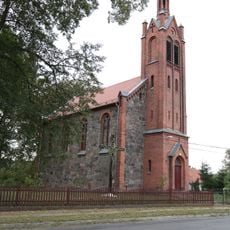
Saint Stanislaus church in Tursk
3.2 km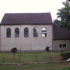
Saint Anthony of Padua church in Prześlice
4.9 km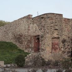
Defensive walls in Sulęcin
8.6 km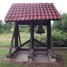
Wooden bell tower in Prześlice
4.9 km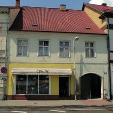
15 Czarneckiego Square in Sulęcin
8.4 km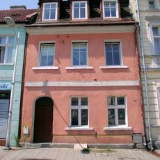
13 Czarneckiego Square in Sulęcin
8.4 km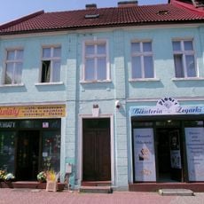
12 Czarneckiego Square in Sulęcin
8.4 kmVous avez visité ce lieu ? Touchez les étoiles pour le noter et partager votre expérience ou vos photos avec la communauté ! Essayez maintenant ! Vous pouvez annuler à tout moment.
Trouvez des trésors cachés à chaque coin de rue !
Des petits cafés pittoresques aux points de vue planqués, fuyez la foule et dénichez les lieux qui vous ressemblent vraiment. Notre app vous facilite la vie : recherche vocale, filtres malins, itinéraires optimisés et bons plans partagés par des voyageurs du monde entier. Téléchargez vite pour vivre l'aventure en version mobile !

Une approche inédite de la découverte touristique❞
— Le Figaro
Tous les lieux qui valent la peine d'être explorés❞
— France Info
Une excursion sur mesure en quelques clics❞
— 20 Minutes