
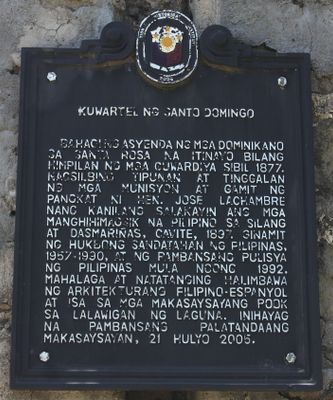
Barracks of Santo Domingo historical marker
Barracks of Santo Domingo historical marker, NHCP historical marker for the Barracks of Santo Domingo
Emplacement : Santa Rosa
Création : 2005
Créateur : National Historical Commission of the Philippines
Adresse : Santa Rosa–Tagaytay Road, Brgy. Santo Domingo
Coordonnées GPS : 14.23078,121.05001
Dernière mise à jour : 25 mars 2025 à 04:16
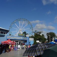
Enchanted Kingdom
7.5 km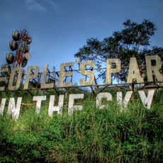
People's Park in the Sky
10.4 km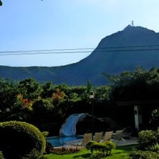
Mount Sungay
10.3 km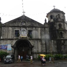
Silang Church
8.2 km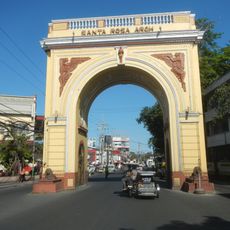
Santa Rosa Arch
11.5 km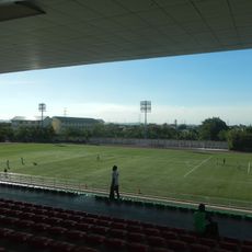
Biñan Football Stadium
9.8 km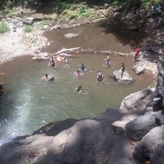
Matang Tubig
4.2 km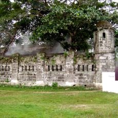
Cuartel de Santo Domingo
18 m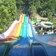
Splash Island
10.6 km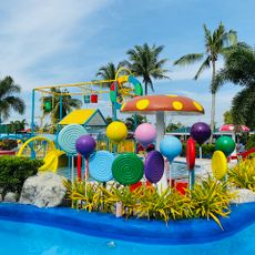
Coco Valley Richnez Waterpark
11.8 km
Southpick Resort
12.5 km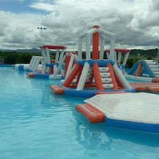
Redwood Water Park
6.8 km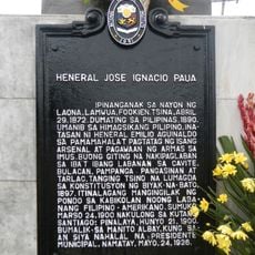
General Jose Ignacio Paua historical marker
8.2 km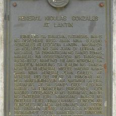
General Nicolas Gonzales y Lantin historical marker
10.2 km
JMJ Family Resort
11.3 km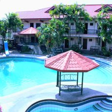
Doña Juana Garden Resort
9.2 km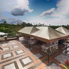
Banio kreek
10 km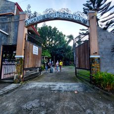
Terrazas de Teodora Pavilion and Resort
9.9 km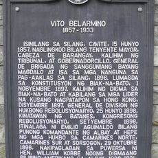
Vito Belarmino historical marker
8.4 km
Villa Morales Resort
11.2 km
Dictado Resort 1
12.1 km
Biñan Cultural Center
12.6 km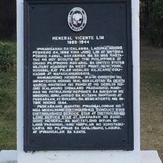
General Vicente Lim historical marker
12.6 km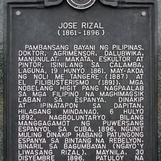
Jose Rizal historical marker
12.5 km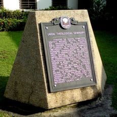
Union Theological Seminary historical marker
11.8 km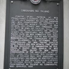
Church of Silang historical marker
8.2 km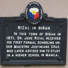
Rizal in Biñan historical marker
12.3 km
Sidro's Place
9.5 kmVous avez visité ce lieu ? Touchez les étoiles pour le noter et partager votre expérience ou vos photos avec la communauté ! Essayez maintenant ! Vous pouvez annuler à tout moment.
Trouvez des trésors cachés à chaque coin de rue !
Des petits cafés pittoresques aux points de vue planqués, fuyez la foule et dénichez les lieux qui vous ressemblent vraiment. Notre app vous facilite la vie : recherche vocale, filtres malins, itinéraires optimisés et bons plans partagés par des voyageurs du monde entier. Téléchargez vite pour vivre l'aventure en version mobile !

Une approche inédite de la découverte touristique❞
— Le Figaro
Tous les lieux qui valent la peine d'être explorés❞
— France Info
Une excursion sur mesure en quelques clics❞
— 20 Minutes