
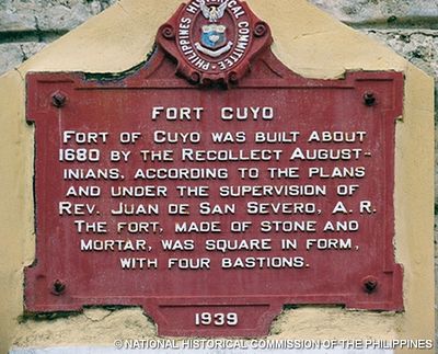
Fort Cuyo historical marker
Fort Cuyo historical marker, PHC historical marker for Fort Cuyo
Emplacement : კუიო
Création : 1939
Créateur : National Historical Commission of the Philippines
Fabriqué à partir de : cast iron
Adresse : Rizal Street
Coordonnées GPS : 10.85552,121.00832
Dernière mise à jour : 14 mars 2025 à 19:30
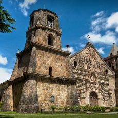
Églises baroques des Philippines
136.3 km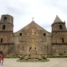
Iglesia de Santo Tomás de Villanueva
136.3 km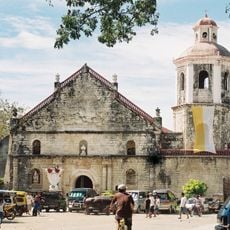
San Joaquin Church
127.5 km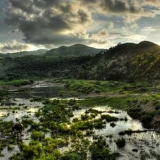
Northwest Panay Peninsula Natural Park
149.7 km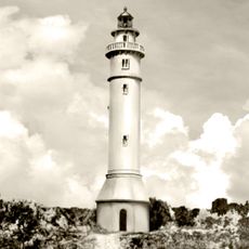
Phare de Maniguin
111.7 km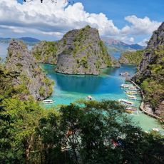
Kayangan Lake View Deck
149.5 km
Coron Island Protected Area
147.6 km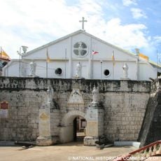
Fort Cuyo
23 m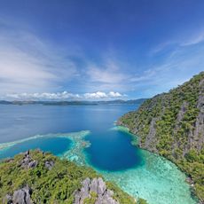
Twin Lagoon
149.6 km
Malcapuya Island
142.7 km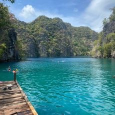
Kayangan Lake
149.5 km
Kayangan Lake
149.4 km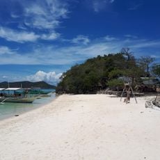
Bulog Dos Island
140.4 km
Hamtic Church
107.7 km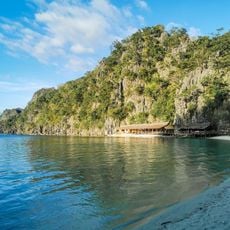
Atwayan Beach
149.6 km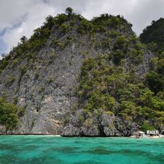
Beach 91
150.4 km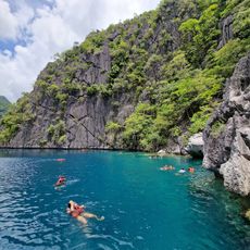
Barracuda Lake
149.8 km
The Old Church and Convent of Patnongon historical marker
107.9 km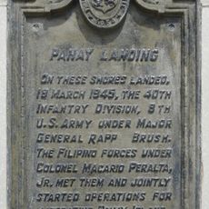
Panay Landing historical marker
150.1 km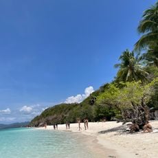
Malcapuya Island Beach Resort
142.6 km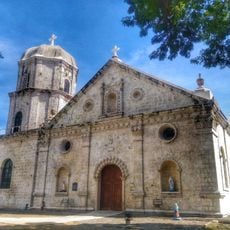
Anini-y Church
110.9 km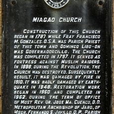
Miagao Church historical marker
136.3 km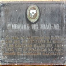
Church of Miag-ao historical marker
136.3 km
San Jose Cathedral
102.9 km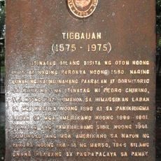
Tigbauan historical marker
150.9 km
Ditaytayan Beach
139.7 km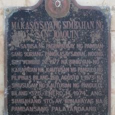
Historic Church of San Joaquin historical marker
127.5 km
Calachuchi Beach
150.1 kmVous avez visité ce lieu ? Touchez les étoiles pour le noter et partager votre expérience ou vos photos avec la communauté ! Essayez maintenant ! Vous pouvez annuler à tout moment.
Trouvez des trésors cachés à chaque coin de rue !
Des petits cafés pittoresques aux points de vue planqués, fuyez la foule et dénichez les lieux qui vous ressemblent vraiment. Notre app vous facilite la vie : recherche vocale, filtres malins, itinéraires optimisés et bons plans partagés par des voyageurs du monde entier. Téléchargez vite pour vivre l'aventure en version mobile !

Une approche inédite de la découverte touristique❞
— Le Figaro
Tous les lieux qui valent la peine d'être explorés❞
— France Info
Une excursion sur mesure en quelques clics❞
— 20 Minutes