
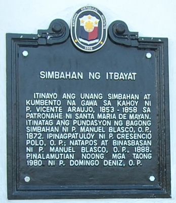
Church of Itbayat historical marker
Church of Itbayat historical marker, NHCP historical marker for Itbayat Church
Emplacement : Itbayat
Création : 2008
Créateur : National Historical Commission of the Philippines
Coordonnées GPS : 20.78688,121.84128
Dernière mise à jour : 8 mars 2025 à 00:17
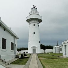
Eluanbi Lighthouse
161 km
Smith Volcano
139.2 km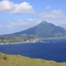
Mont Iraya
39.8 km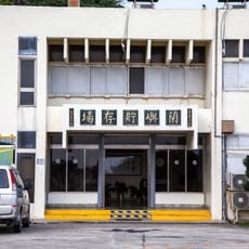
Low-Level Radioactive Waste Storage Site
138 km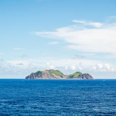
Lesser Orchid Island
131.7 km
Taiwan Southernmost Point
160.2 km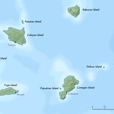
Babuyan Claro
141 km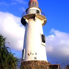
Phare de Basco
39.5 km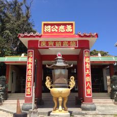
The Princess Babao Temple
168 km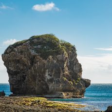
Sail Rock (Taiwan)
165.4 km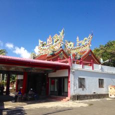
鵝鑾鼻保安宮
161.2 km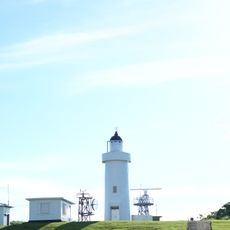
Lanyu Lighthouse
148.3 km
Kenting Frog Rock
167.5 km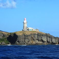
Sabtang Lighthouse
50 km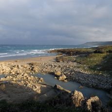
Plage de Manzhou
166.6 km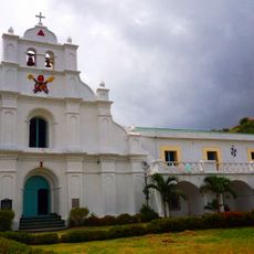
San Carlos Borromeo Parish Church
42.7 km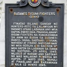
Batanes Bisumi Fighters historical marker
50.5 km
Kenan Aman Dangat historical marker
39.8 km
Eluanbi Park
161 km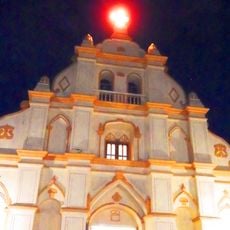
Church of Basco historical marker
39.7 km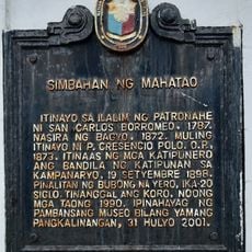
Church of Mahatao historical marker
42.8 km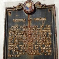
Church of Sabtang historical marker
50.5 km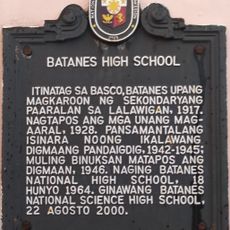
Batanes High School historical marker
39.7 km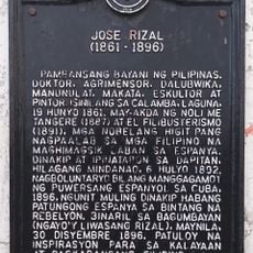
Jose Rizal historical marker
39.9 km
Longpan Grassland
163.5 km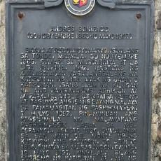
Andres Bonifacio historical marker
46.6 km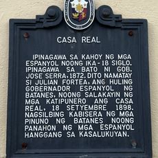
Casa Real historical marker
39.8 km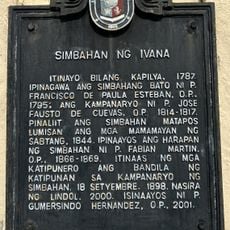
Church of Ivana historical marker
47.4 kmVous avez visité ce lieu ? Touchez les étoiles pour le noter et partager votre expérience ou vos photos avec la communauté ! Essayez maintenant ! Vous pouvez annuler à tout moment.
Trouvez des trésors cachés à chaque coin de rue !
Des petits cafés pittoresques aux points de vue planqués, fuyez la foule et dénichez les lieux qui vous ressemblent vraiment. Notre app vous facilite la vie : recherche vocale, filtres malins, itinéraires optimisés et bons plans partagés par des voyageurs du monde entier. Téléchargez vite pour vivre l'aventure en version mobile !

Une approche inédite de la découverte touristique❞
— Le Figaro
Tous les lieux qui valent la peine d'être explorés❞
— France Info
Une excursion sur mesure en quelques clics❞
— 20 Minutes