
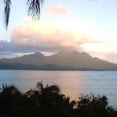
Suluan, barangay of the Philippines in the municipality of Guiuan, Eastern Samar
Emplacement : Guiuan
Coordonnées GPS : 10.76160,125.95040
Dernière mise à jour : 12 octobre 2025 à 11:46

Cabalían
96.5 km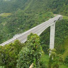
Agas-Agas Bridge
108.3 km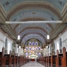
Guiuan Church
39 km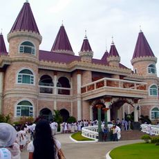
Islander's Castle
84.2 km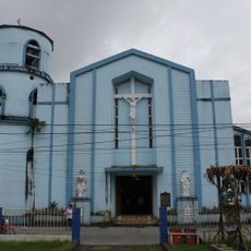
Borongan Cathedral
109.8 km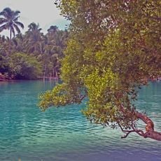
Guiuan Protected Landscape and Seascape
35.8 km
Siargao Islands Protected Landscape and Seascape
106.3 km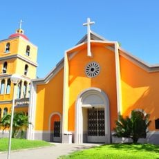
Tanauan Church
109.2 km
Magpupungko Beach
100.4 km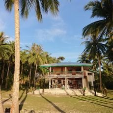
Pacifico Beach
92.5 km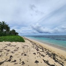
Alegria beach
79.9 km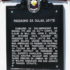
Landing at Dulag, Leyte historical marker
102.4 km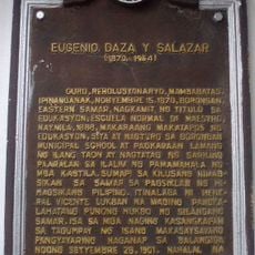
Eugenio Daza y Salazar historical marker
109.8 km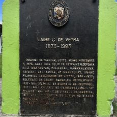
Jaime C. de Veyra historical marker
109.2 km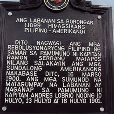
The Battle of Borongan historical marker
109.8 km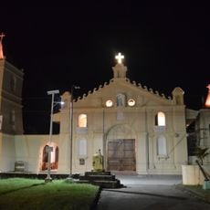
Balangiga Church
72.9 km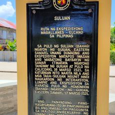
Suluan quincentennial historical marker
16 m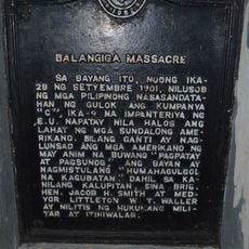
Balangiga Massacre historical marker
72.8 km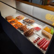
Baybay Boulevard
109.8 km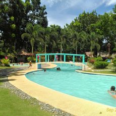
Inland Resort
110.3 km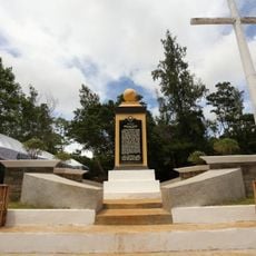
Homonhon quincentennial historical marker
19.6 km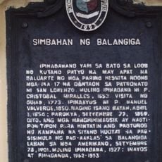
Church of Balangiga historical marker
72.9 km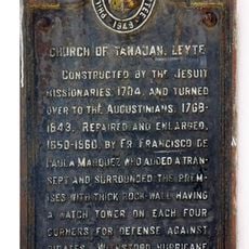
Church of Tanauan, Leyte historical marker
109.2 km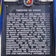
Church of Guiuan historical marker
39 km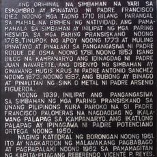
Cathedral of Borongan historical marker
109.8 km
Handig Beach
28.6 km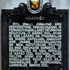
Homonhon historical marker
19.7 km
Cloud 9
108.1 kmAvis
Vous avez visité ce lieu ? Touchez les étoiles pour le noter et partager votre expérience ou vos photos avec la communauté ! Essayez maintenant ! Vous pouvez annuler à tout moment.
Trouvez des trésors cachés à chaque coin de rue !
Des petits cafés pittoresques aux points de vue planqués, fuyez la foule et dénichez les lieux qui vous ressemblent vraiment. Notre app vous facilite la vie : recherche vocale, filtres malins, itinéraires optimisés et bons plans partagés par des voyageurs du monde entier. Téléchargez vite pour vivre l'aventure en version mobile !

Une approche inédite de la découverte touristique❞
— Le Figaro
Tous les lieux qui valent la peine d'être explorés❞
— France Info
Une excursion sur mesure en quelques clics❞
— 20 Minutes