
Sinandigan, barangay in Ubay, Bohol
Emplacement : Ubay
Création : 8 mai 1968
Partage une frontière avec : Union
Coordonnées GPS : 10.03167,124.53750
Dernière mise à jour : 12 octobre 2025 à 11:46
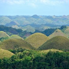
Chocolate Hills
42.6 km
Maasin Cathedral
34.8 km
Rajah Sikatuna Protected Landscape
48.4 km
Talibon Cathedral
26.7 km
Cuatro Islas Protected Landscape/Seascape
56.5 km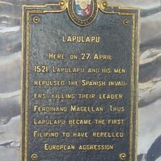
Lapulapu historical marker
65.1 km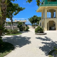
Nalusuan Island
61.5 km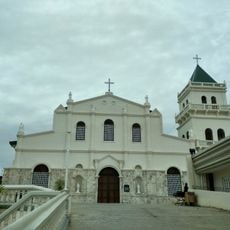
Tubigon Church
63.6 km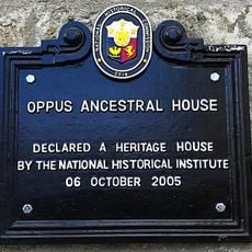
Oppus Ancestral House historical marker
35.2 km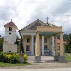
Immaculate Conception Parish Church
38.9 km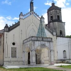
Inabanga Church
51.4 km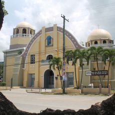
Jagna Church
46 km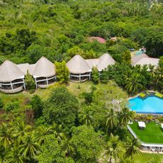
Amun Ini Beach Resort & Spa
33.9 km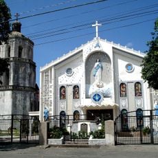
Hilongos Church
44.5 km
PROMENADE
64.8 km
Tambaan Farm
45.8 km
Sagbayan Peak Park
52.2 km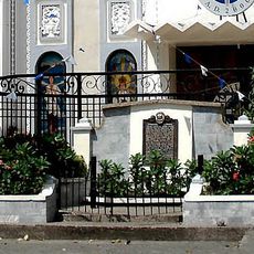
Church of Hilongos historical marker
44.4 km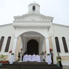
Carmen Church
43.7 km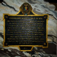
Ferdinand Magellan’s Death historical marker
65.1 km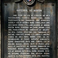
Cathedral of Maasin historical marker
34.8 km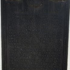
First Mass in the Philippines historical marker
52.6 km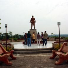
Dagohoy Monument
39.6 km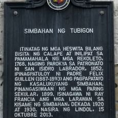
Church of Tubigon historical marker
63.6 km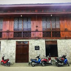
Oppus House
35.2 km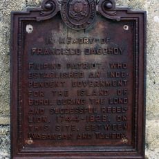
In Memory of Francisco Dagohoy historical marker
39.6 km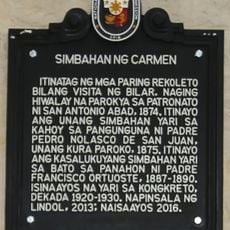
Church of Carmen historical marker
43.7 km
Syshore
61.7 kmVous avez visité ce lieu ? Touchez les étoiles pour le noter et partager votre expérience ou vos photos avec la communauté ! Essayez maintenant ! Vous pouvez annuler à tout moment.
Trouvez des trésors cachés à chaque coin de rue !
Des petits cafés pittoresques aux points de vue planqués, fuyez la foule et dénichez les lieux qui vous ressemblent vraiment. Notre app vous facilite la vie : recherche vocale, filtres malins, itinéraires optimisés et bons plans partagés par des voyageurs du monde entier. Téléchargez vite pour vivre l'aventure en version mobile !

Une approche inédite de la découverte touristique❞
— Le Figaro
Tous les lieux qui valent la peine d'être explorés❞
— France Info
Une excursion sur mesure en quelques clics❞
— 20 Minutes