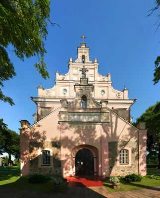
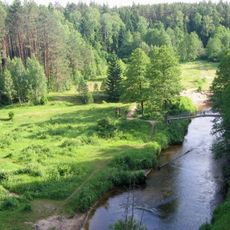
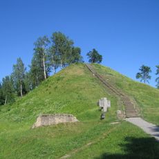
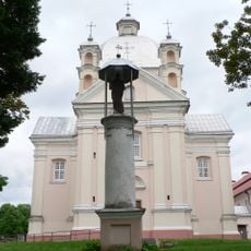
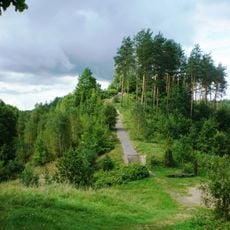
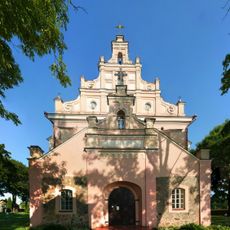
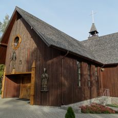
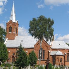
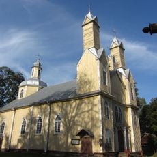
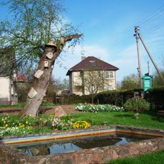
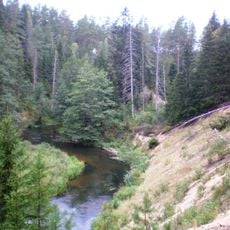
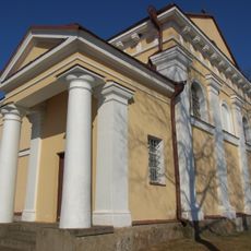
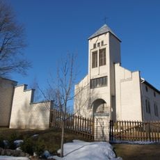
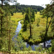
Merkinė, human settlement
Emplacement : Varėna District Municipality
Coordonnées GPS : 54.16389,24.18611
Dernière mise à jour : 1 avril 2025 à 17:02
Parc Grūtas
17.4 km
Parc national de Dzūkija
15.4 km
Merkinė hillfort
672 m
Church of the Holy Trinity, Liškiava
12.5 km
Liškiava hillfort
13.1 km
Church of the Assumption, Merkinė
299 m
The great boulder of Dzukija
16.2 km
Noriūnai forest spruce
18.5 km
Full House community chapel, Panara
7.5 km
The old elm of Geisciunai
18.6 km
Merkinė bridge
822 m
Kuciuliske Hepertological Reserve
18.8 km
Church of the Blessed Virgin Mary and St. Francis of Assisi, Perloja
16.2 km
Church of St. Simon and St. Jude Thaddeus the Apostles, Marcinkonys
16.9 km
The old Kaunas apple tree
18.5 km
Mančiagirės skardžiai
18.7 km
Chapel in Balkasodis
17.3 km
Church of the transfiguration of Jesus Christ in Krikštonys
18 km
Orthodox church in Merkinė
129 m
Senoji kriaušė
18.5 km
Church of the Holy Trinity, Nedzingė
13.1 km
Church of St. Monica, Ryliškiai
13 km
Straciunai Hepertological Reserve
16.5 km
Mikniūnų piliakalnis
11.9 km
Grūda Hydrographical Reserve
13.8 km
Maksimonių gyvenvietė
4.4 km
Dvarčių piliakalnis
16.8 km
Radyščiaus piliakalnis
10.7 kmVous avez visité ce lieu ? Touchez les étoiles pour le noter et partager votre expérience ou vos photos avec la communauté ! Essayez maintenant ! Vous pouvez annuler à tout moment.
Trouvez des trésors cachés à chaque coin de rue !
Des petits cafés pittoresques aux points de vue planqués, fuyez la foule et dénichez les lieux qui vous ressemblent vraiment. Notre app vous facilite la vie : recherche vocale, filtres malins, itinéraires optimisés et bons plans partagés par des voyageurs du monde entier. Téléchargez vite pour vivre l'aventure en version mobile !
Une approche inédite de la découverte touristique❞
— Le Figaro
Tous les lieux qui valent la peine d'être explorés❞
— France Info
Une excursion sur mesure en quelques clics❞
— 20 Minutes