
Perloja, farm village in Lithuania
Emplacement : Varėna District Municipality
Altitude : 109 m
Coordonnées GPS : 54.21444,24.41444
Dernière mise à jour : 28 mars 2025 à 17:37
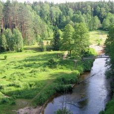
Parc national de Dzūkija
15 km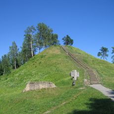
Merkinė hillfort
16.3 km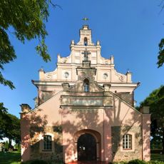
Church of the Assumption, Merkinė
16.1 km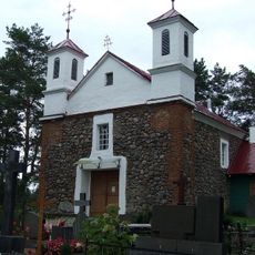
Church of St. Michael the Archangel, Babriškės
13.6 km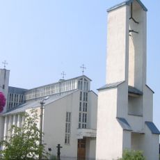
Church of St. Michael the Archangel, Senoji Varėna
9.5 km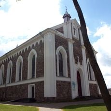
Church of the Providence of God in Daugai
16.8 km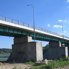
Merkinė bridge
16.5 km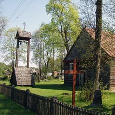
Akmenes Jēzus katoļu baznīca
16.7 km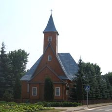
Church of St. Michael the Archangel, Varėna
10.3 km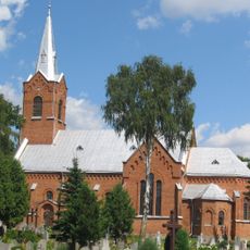
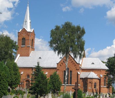
Church of the Blessed Virgin Mary and St. Francis of Assisi, Perloja
280 m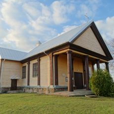
Church of the Holy Trinity, Alovė
21.8 km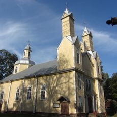
Church of St. Simon and St. Jude Thaddeus the Apostles, Marcinkonys
16.1 km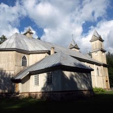
Church of the Blessed Virgin Mary of Perpetual Help, Rudnia
22.7 km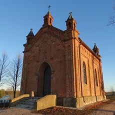
Chapel in Bukaučiškės
12 km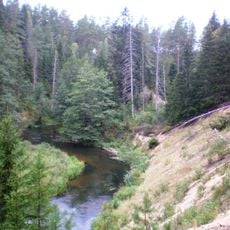
Mančiagirės skardžiai
11.1 km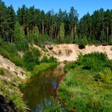
Ula Landscape Reserve
19.4 km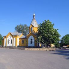
Orthodox church in Merkinė
16 km
Zervynų ąžuolas
12.8 km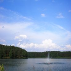
Varėnos Pirmosios tvenkinys
10.3 km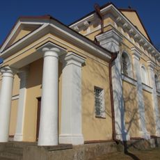
Church of the Holy Trinity, Nedzingė
6.7 km
Mikniūnų piliakalnis
9.9 km
Zervynos village hollow pines
13.3 km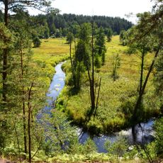
Grūda Hydrographical Reserve
13.1 km
Maksimonių gyvenvietė
19.2 km
Dvarčių piliakalnis
5.1 km
Rudnios stovyklavietės
21.6 km
Subartonys Landscape Reserve
15.2 km
Zervynų senovės gyvenvietė
13 kmVous avez visité ce lieu ? Touchez les étoiles pour le noter et partager votre expérience ou vos photos avec la communauté ! Essayez maintenant ! Vous pouvez annuler à tout moment.
Trouvez des trésors cachés à chaque coin de rue !
Des petits cafés pittoresques aux points de vue planqués, fuyez la foule et dénichez les lieux qui vous ressemblent vraiment. Notre app vous facilite la vie : recherche vocale, filtres malins, itinéraires optimisés et bons plans partagés par des voyageurs du monde entier. Téléchargez vite pour vivre l'aventure en version mobile !

Une approche inédite de la découverte touristique❞
— Le Figaro
Tous les lieux qui valent la peine d'être explorés❞
— France Info
Une excursion sur mesure en quelques clics❞
— 20 Minutes